
Savoureuse
The Savoureuse is a river in eastern France, the principal watercourse of the Territoire de Belfort. It flows from the Vosges foothills, runs through Belfort, and has shaped local industry, ecology, and recreation.
Overview
The Savoureuse is a river in eastern France and the main watercourse of the Territoire de Belfort. It is a regional river of modest size whose valley has long concentrated settlement, transport and industry. The name also identifies local cultural references and place names around the city of Belfort. A basic location reference for the Savoureuse is at coordinates 47°30′42″N 6°50′56″E; see map notes here and more general information about the river here. The Savoureuse lies within the territory of France and is most closely associated with the department-level area Territoire de Belfort.
Image gallery
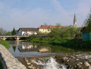
8 Images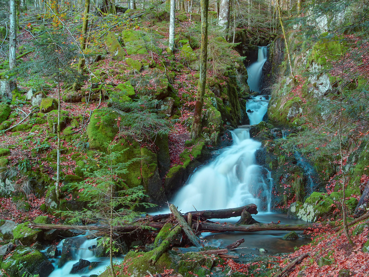


Course and characteristics
The Savoureuse rises in the higher ground at the edge of the Vosges foothills and descends through a narrow valley into the Belfort plain. Its flow varies seasonally with rainfall and snowmelt in the uplands. Along its route the river receives small tributary streams and passes through both rural and urban landscapes; its channel and floodplain have been modified in places for roads, bridges and flood management.
Uses and historical role
Historically the Savoureuse provided power and water for local mills and early manufacturing. The proximity of the river helped the growth of textile workshops, forges and other small industries in and around Belfort, while urban expansion placed infrastructure along its banks. Engineering works for flood control and straightening of channel sections date from different periods of modernization.
Environment and recreation
The river corridor supports varied aquatic and riparian habitats, with fish, invertebrates and vegetation typical of temperate lowland streams. Recent decades have seen efforts to reconcile urban development with ecological health: bank restoration, improved wastewater management and creation of walking paths and greenways. The Savoureuse offers opportunities for local recreation such as riverside promenades, bird watching and angling, and it remains a visible element of the Territoire de Belfort landscape.
Notable facts
- The Savoureuse is the principal river running through the Territoire de Belfort and through the city of Belfort.
- Its valley has been important for local industry, transport routes and settlement patterns.
- Conservation and urban projects aim to improve water quality and reconnect people with the river.
Questions and answers
Q: Where are the coordinates of the Savoureuse river?
A: The coordinates of the Savoureuse river are 47°30′42″N 6°50′56″E / 47.51167°N 6.84889°E / 47.51167; 6.84889.
Q: What country is the Savoureuse river in?
A: The Savoureuse river is in France.
Q: What region of France is the Savoureuse river in?
A: The Savoureuse river is the principal river running through the Territoire de Belfort, which is in eastern France.
Q: Is the Savoureuse river a major river in France?
A: The Savoureuse river is the principal river running through the Territoire de Belfort, but it is not considered one of the major rivers in France.
Q: Where does the Savoureuse river flow through?
A: The Savoureuse river flows through the Territoire de Belfort in Eastern France.
Q: What is the significance of the Savoureuse river in the Territoire de Belfort?
A: The Savoureuse river is the principal river running through the Territoire de Belfort.
Q: What type of river is the Savoureuse?
A: The description does not provide any information on the type of river that the Savoureuse is.
Related articles
Author
AlegsaOnline.com Savoureuse Leandro Alegsa
URL: https://en.alegsaonline.com/art/87652
Sources
- commons.wikimedia.org : Savoureuse
- services.sandre.eaufrance.fr : "La Savoureuse (U2340500)"
- hydro.eaufrance.fr : "La Savoureuse à Giromagny"
- hydro.eaufrance.fr : "La Savoureuse à Belfort"
- hydro.eaufrance.fr : "La Savoureuse à Vieux-Charmont"
- geoportail.gouv.fr : "Source de la Savoureuse"
- geoportail.gouv.fr : "Confluence de la Savoureuse"