Royal Leamington Spa
A town in Warwickshire, England, known for its 19th-century spa development, Regency architecture, riverside setting on the River Leam and its modern role as a residential and shopping centre.
Overview

Royal Leamington Spa, often shortened to Leamington Spa or simply Leamington, is a town in Warwickshire, England. It grew rapidly from a rural village into a fashionable resort after the discovery of mineral springs in the late 18th century. The town retains its spa-era layout and many period buildings, and today combines a largely residential character with a busy town centre known for shopping, parks and cultural amenities. Basic location data are recorded under coordinates.
Image gallery
10 Images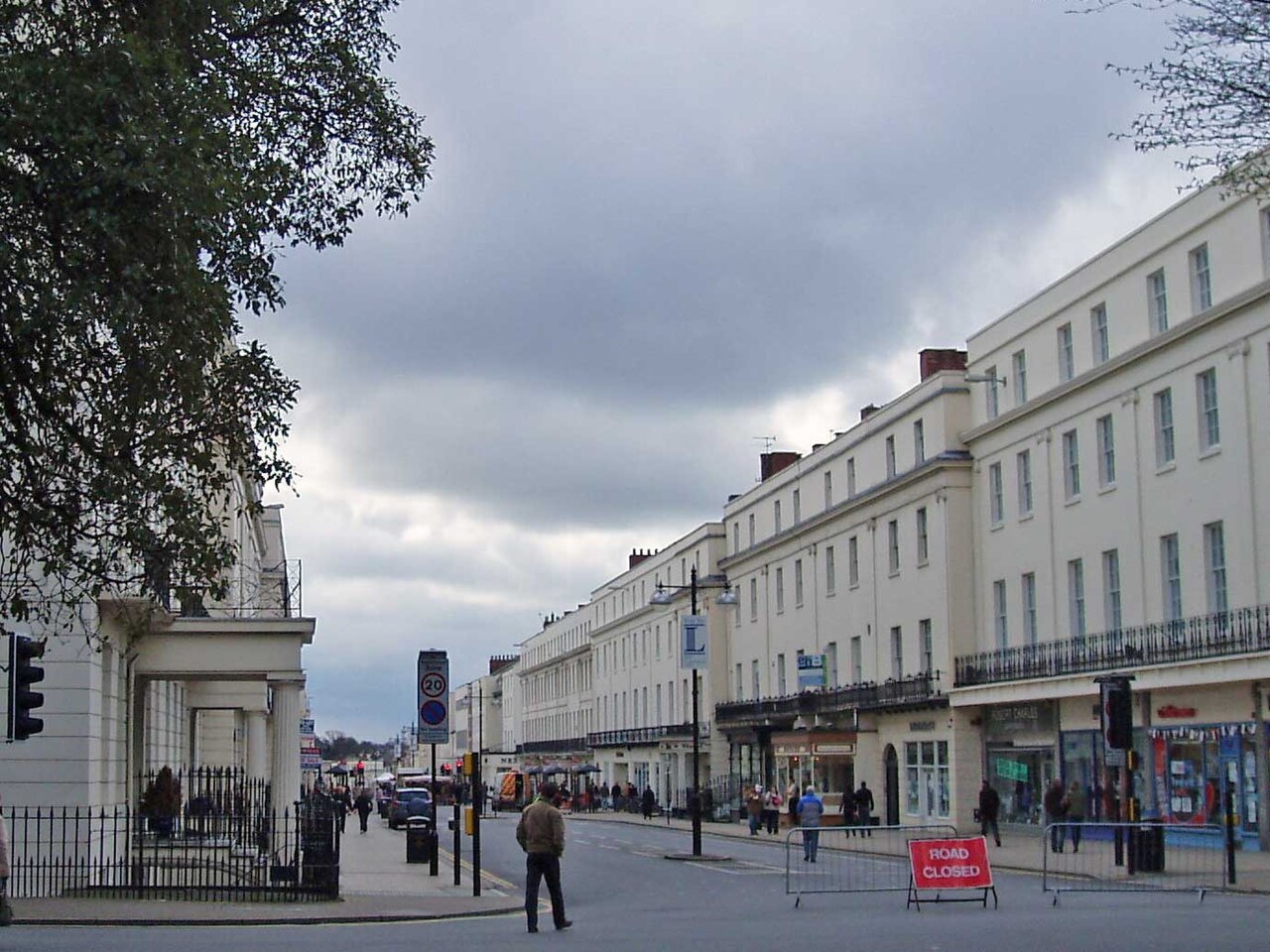


History and development
Before the late 1700s Leamington was a small settlement. In 1784 local residents identified a mineral spring and the waters were used for health treatments, a popular practice at the time. Two local figures associated with the town’s early spa tradition were Benjamin Satchwell and William Abbott; their role and other early developments helped transform the place from a village into a resort town. As visitors came to 'take the waters' and seek the perceived health benefits, houses, assembly rooms and hotels were established and the town expanded.
During the 19th century the town acquired the honorific "Royal" as part of its name and developed a distinct Regency and Victorian townscape. While the popularity of water-based treatments waned over time, the reputation and built heritage established in that period shaped Leamington’s later identity as a desirable residential town.
Geography and transport
Leamington is built along the River Leam, which flows through the town from east to west. It lies close to several other Midlands centres and historic towns: it is linked physically and economically to Warwick and is within easy reach of Kenilworth, Rugby and Coventry. The town’s transport links include regional roads and rail services that connect residents and visitors to nearby cities and the wider national network.
Economy, culture and services
Leamington’s economy is mixed: a combination of retail, professional services, education and small-scale industry supports the local population. The town centre offers a range of shops and independent businesses, and it is a popular shopping destination for people from surrounding communities. Green spaces, river walks and public gardens contribute to the town’s appeal for families and commuters.
Cultural life includes local festivals, theatres and galleries; heritage buildings from the spa period are used for civic and cultural purposes. The town’s population was recorded as about 45,300 in 2001, and demographic changes since then reflect both suburban growth and commuting patterns with nearby urban centres.
Notable features and attractions
- Historic spa architecture and tree-lined streets dating largely from the 19th century.
- Parks and public gardens that originated in the spa era and continue to be maintained for recreation.
- Civic buildings and cultural venues occupying former spa facilities and assembly rooms.
- A riverside character created by the River Leam that runs through the town.
Nearby places
- Warwick – immediately adjacent and often paired with Leamington for local services.
- Kenilworth – a short distance to the north-west.
- Rugby and Coventry – larger towns and cities within commuting distance.
- Local history notes the town’s transformation from a small town-and-village community after discovery of a spring, which set its later character as a spa town.
Royal Leamington Spa remains an example of a British town whose 19th-century spa origins shaped its architecture, layout and reputation, and which has adapted to modern residential and commercial roles while keeping its historic identity.
Questions and answers
Q: What are the coordinates of Royal Leamington Spa?
A: The coordinates of Royal Leamington Spa are 52°17′29.62″N 1°32′8.57″W / 52.2915611°N 1.5357139°W / 52.2915611; -1.5357139
Q: When did Royal Leamington Spa become a town?
A: Royal Leamington Spa became a town in 1784 when two local men called Benjamin Satchwell and William Abbott discovered a spring in the village.
Q: Why did people start visiting the town?
A: People started visiting the town because they began to use the water for treatment of illnesses, which was a common practice in those times, and it quickly developed into a spa town with many rich people visiting to 'take the waters'.
Q: What caused its popularity to decline?
A: Its popularity declined when spa water stopped being fashionable and fewer people came on holiday to the town.
Q: How is it connected to other towns?
A: It is now connected to another town called Warwick and other nearby settlements include Kenilworth (about six miles away), Rugby (about sixteen miles away) and Coventry (about ten miles away).
Q: Does it still treat people with its waters?
A: In modern times Leamington does not treat many people with its waters but it is still known as a pleasant place to live.
Q: What river flows through the middle of the town?
A: The River Leam flows through the middle of the town from east to west.
Related articles
Author
AlegsaOnline.com Royal Leamington Spa Leandro Alegsa
URL: https://en.alegsaonline.com/art/84469