
Roman roads in Britain
Paved trunk roads built by the Romans across Britannia (c.43–410 AD). Their design, routes and remains shaped transport, military control and later road networks in Britain.
The Roman road network in Britain was one of the most durable legacies of the Roman occupation of Britannia. Constructed from the mid 1st century AD and extended over the next two to three centuries, these routes were surveyed and built to provide reliable, all-season carriageways for troops, supplies and officials. Compared with other Roman public works such as Roman aqueducts, the road system was widespread and directly shaped settlement, commerce and communications across the province.
Image gallery
7 Images
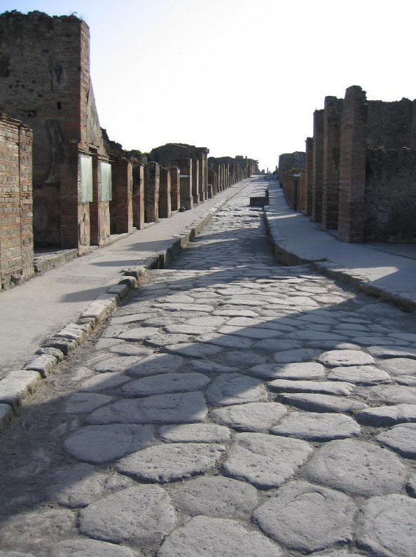


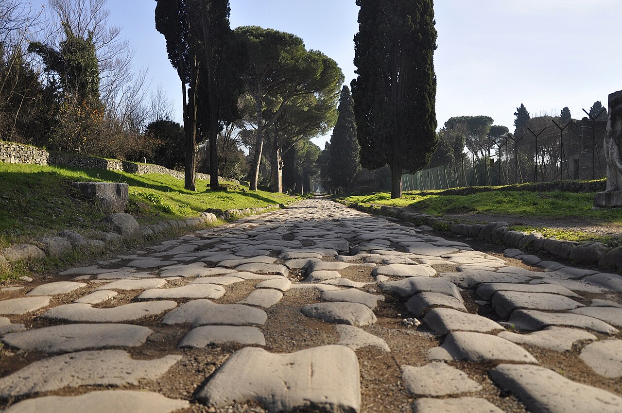


Construction and characteristics
Roman engineers used a deliberate, layered approach to build long-lasting roads. Typical cross-sections included a raised bank or agger, successive layers of compacted material for drainage and strength, and a hard wearing surface of stone or gravel. Roads were crowned so water ran off to ditches at the sides, and bridges or causeways were provided where streams and marshes intervened. Mile markers, known from Roman practice elsewhere, and occasional paved town approaches survive in archaeology, giving evidence of planning and measurement.
Major routes and examples
Many of the best-known lines have persisted in name or course into the medieval and modern periods. Examples include:
- Watling Street — running from southeastern ports into the Midlands and beyond;
- Fosse Way — a straight diagonal linking the southwest with the Midlands;
- Ermine Street — connecting London with York and the north;
- Local roads and military supply routes that converged on legionary bases and frontier forts.
These and other routes are mapped and discussed in modern resources such as the Ordnance Survey Map of Roman Britain, which compiles archaeological evidence for certain and probable alignments.
Origins, chronology and purpose
After the 43 AD invasion the Roman army and its engineers laid out trunk roads to link ports, legionary bases, administrative centres and active frontiers. The primary motive was military: fast, reliable movement of troops and stores. Over time the road network also underpinned civil administration, trade and the integration of newly founded towns into the provincial economy. Much of the principal network was in place by the later 2nd century AD, though additions and local repairs continued throughout Roman rule.
Usage, continuity and legacy
Roman roads carried military convoys, official traffic and civilian wagons. They improved market access for producers and artisans, supported postal and administrative circuits, and guided the pattern of settlement. After the Roman withdrawal around 410 AD many of these routes remained the principal lines of communication; medieval trackways and later turnpike improvements often followed Roman alignments. Systematic reconstruction of paved highway networks did not reappear until the early modern period, though the imprint of Roman planning is visible in numerous modern roads.
Distinctions, evidence and study
Archaeological study combines excavated cross-sections, surviving paved stretches, documentary itineraries and place-name evidence to reconstruct the road system. Roman roads in Britain are studied alongside other provincial features such as the Roman army, the wider Roman Empire infrastructure and the provincial organisation of Britannia and other provinces. Modern scholarship and mapping projects continue to refine routes, their dates and functions while conservation efforts protect visible remains for public understanding.
For readers wishing to explore further, the surviving lines and place-names offer accessible walks and study opportunities, and many local museums and archives display finds and interpretations that illustrate how these engineered roads shaped Britain’s long-term transport history.
Questions and answers
Q: What were the Roman roads in Britain?
A: The Roman roads in Britain were one of the most impressive features of the Roman Empire in Britain, along with Roman aqueducts and the Roman army.
Q: How did the Romans refer to these roads?
A: Originally, the Romans referred to the roads by numbers rather than names.
Q: What was the purpose of the Roman roads in Britain?
A: The Roman roads in Britain were constructed as a network of paved trunk roads to allow for the rapid movement of troops and military supplies, as well as for trade and the transport of goods.
Q: How long were the Roman roads in Britain?
A: Over the course of nearly four centuries of occupation (43-410 AD), the Romans built about 2,000 miles of Roman roads in Britain.
Q: Were the pre-Roman Britons familiar with paved roads?
A: No, pre-Roman Britons used unpaved trackways, including ancient ones running along the ridges of hills, such as the South Downs Way.
Q: How were the Roman roads built and what was their quality?
A: Most of the Roman network was surveyed and built from scratch, with the aim of connecting key points by the most direct possible route. The roads were all paved, in order to permit heavy freight-wagons to be used in all seasons and weather.
Q: Did the Roman roads continue to be used after the Romans withdrew from Britain?
A: Yes, Roman roads remained in use as trunk roads for centuries after the Romans withdrew from Britain in 410 AD. Systematic construction of paved highways did not resume in England until the 18th century.
Related articles
Author
AlegsaOnline.com Roman roads in Britain Leandro Alegsa
URL: https://en.alegsaonline.com/art/83866
Sources
- leisure.ordnancesurvey.co.uk : Map of Roman Britain, Ordnance Survey
- books.google.com : Road making and maintenance
- books.google.com : Page 1
- books.google.com : A Dictionary of Greek and Roman antiquities
- books.google.com : Page 946-954
- books.google.com : Page 251