
River Irwell: course, history, and modern significance
The River Irwell rises on Deerplay Moor and flows 39 miles through Lancashire and Greater Manchester, passing Manchester and Salford before joining the Mersey; notable for industrial history and recent regeneration.
Overview
The River Irwell is a 39-mile (63 km) river rising at Irwell Springs on Deerplay Moor, about 1.5 miles north of Bacup in the parish of Cliviger. It flows south from upland moors through parts of Lancashire and Greater Manchester in North West England, passing through the city centres of Manchester and Salford before joining the River Mersey near Irlam.
Image gallery
10 Images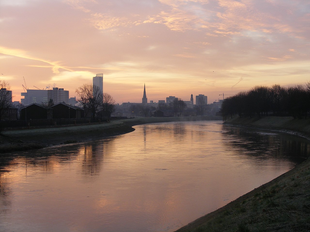


Course and physical characteristics
The Irwell drops from upland peat and heather moorland into a more urbanised valley. Its course funnels water from smaller upland streams and drains a mixture of rural and industrial catchments. The river channel has been altered in many places by embankments, bridges and former millworks; several sections run through steep-sided valley reaches and broad urban floodplains.
History and development
The river basin was central to the growth of industry in the region during the 18th and 19th centuries. Textile mills, factories and associated infrastructure used the river for power, process water and waste disposal. To support commerce and transport, navigation improvements and river engineering works were constructed in the past, altering scour, flow and access along the channel.
Uses, ecology and contemporary issues
Historically heavily polluted, the Irwell has been the focus of sustained clean-up and habitat restoration efforts in recent decades. Water quality improvements have enabled a return of some fish and bird species and increased recreational use such as walking, angling and riverside cycling where access is provided. Flood risk management and urban redevelopment remain important concerns for communities along the river.
Navigation, regeneration and cultural role
Sections of the Irwell were once important for local navigation and industry; while commercial navigation has declined, the river corridor is now a target for regeneration projects, public open spaces and riverside development in Manchester and Salford. These projects aim to balance heritage conservation, improved water quality and public amenity.
Key facts and notable points
- Length: about 39 miles (63 km) from Deerplay Moor to the Mersey confluence.
- Source: Irwell Springs, near Bacup in the parish of Cliviger.
- Major urban centres on its course include Manchester and Salford.
- The river joins the Mersey near Irlam and drains to the Irish Sea via the Mersey estuary.
Questions and answers
Q: What is the River Irwell?
A: The River Irwell is a river that flows through the Irwell Valley in Lancashire and Greater Manchester in North West England.
Q: How long is the River Irwell?
A: The River Irwell is 39 miles (63 kilometres) long.
Q: Where does the River Irwell start?
A: The River Irwell starts at Irwell Springs on Deerplay Moor, about 1.5 miles (2.4 kilometres) north of the town of Bacup, in the parish of Cliviger, Lancashire.
Q: Which cities does the River Irwell flow through?
A: The River Irwell flows through the city centres of Manchester and Salford.
Q: Where does the River Irwell join another river?
A: The River Irwell joins the River Mersey near Irlam.
Q: What counties does the River Irwell flow through?
A: The River Irwell flows through the counties of Lancashire and Greater Manchester in North West England.
Q: How important is the River Irwell to the area it flows through?
A: The River Irwell is an important river in the area, as it flows through major cities and provides a valuable water resource for industry and agriculture.
Related articles
Author
AlegsaOnline.com River Irwell: course, history, and modern significance Leandro Alegsa
URL: https://en.alegsaonline.com/art/83110