
River Hull
A short river in the East Riding of Yorkshire that rises in the Wolds and flows into the Humber at Kingston upon Hull; notable for navigation, movable bridges and urban industrial history.
Overview
The River Hull is a modest but regionally important waterway flowing through Yorkshire in the north of England. It links the chalk hills of the Yorkshire Wolds to the tidal waters of the Humber and has long shaped the settlement, industry and transport patterns of the city now known as Kingston upon Hull.
Image gallery
10 Images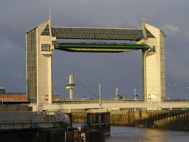




Course and characteristics
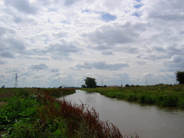
Rising from streams and springs on the eastern flank of the Yorkshire Wolds, the river runs generally southwards through low-lying agricultural land and built-up areas before it joins the larger estuary system. In its lower reaches the channel is tidal and subject to changing water levels, meeting the wider River Humber estuary. The confluence with the tidal Humber occurs in the centre of the estuary and the city of Kingston upon Hull, where urban quays and docks line the banks.
History and development
The Hull's valley has supported settlement and commerce for many centuries. Its accessible channel encouraged small-scale shipping, fishery and riverside industry during the medieval and industrial periods. Over time navigation improvements, quays and locks were added to facilitate movement of goods inland from the Humber, while later port shifts and road transport reduced some commercial river traffic.
Navigation, bridges and flood control
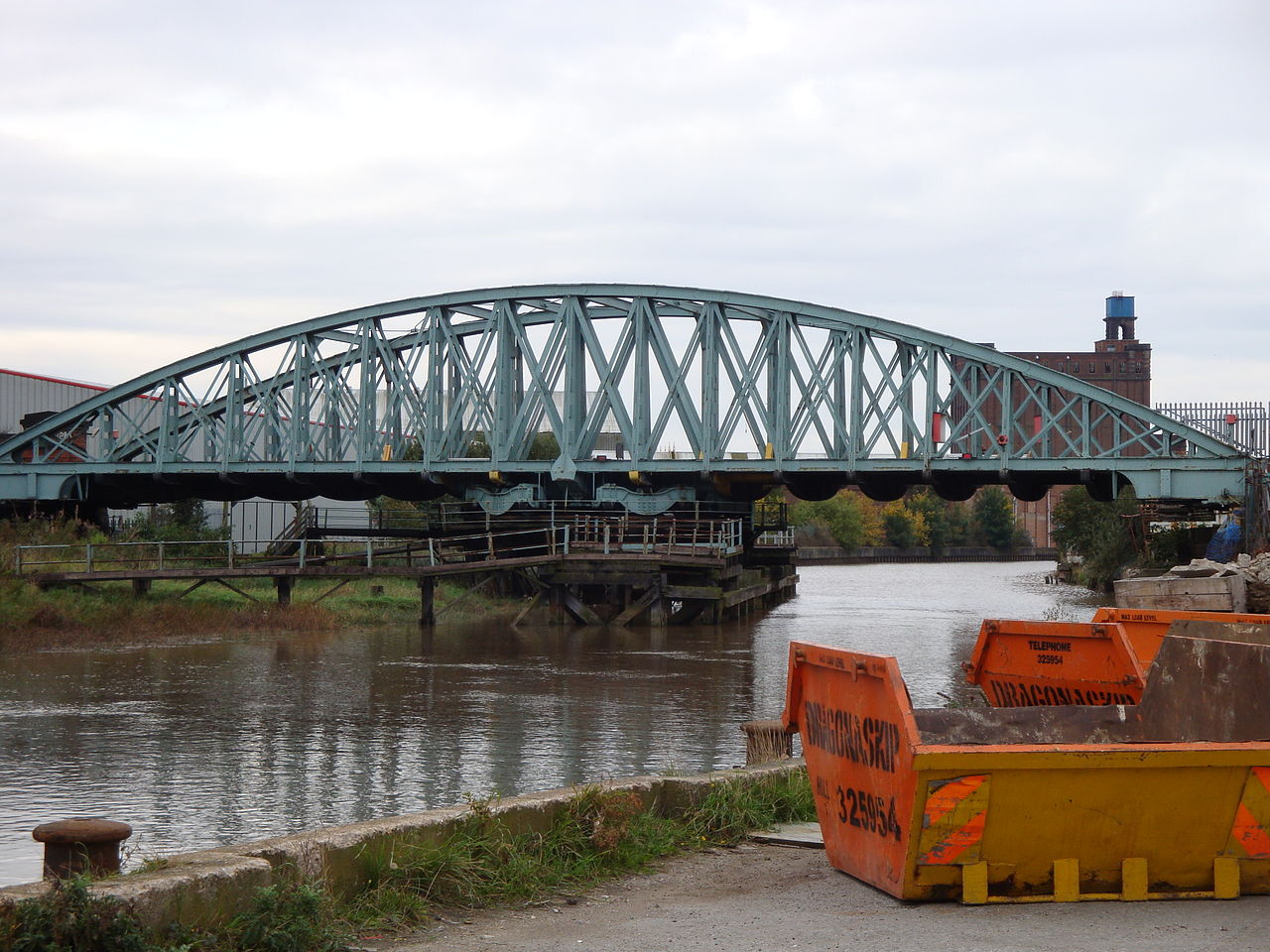
The river is crossed by several movable bridges and lifting crossings that allow boats to pass but can interrupt road traffic when opened. These arrangements have been a practical compromise between river access and city circulation; at times they contribute to congestion, especially when tidal conditions affect schedules. Local authorities have also invested in flood defences, including a tidal barrier and embankments, to manage storm surges and protect low-lying districts.
Uses, environment and cultural importance
Today the river remains used for leisure boating, limited commercial navigation and waterside recreation. Its banks support a mix of industrial sites, residential neighbourhoods and green corridors that provide habitats for birds, fish and riverside plants. The River Hull is often cited in local history and identity, appearing in place names, community projects and conservation efforts aimed at improving water quality and access.
Notable facts and distinctions
- The Hull is relatively short compared with major British rivers but plays an outsized role locally as a tidal urban river.
- Movable bridges and quay infrastructure reflect the river’s historic role as a working waterway.
- Management of tides and flood risk remains a key civic responsibility for authorities and communities along the river corridor.
Questions and answers
Q: Where is the River Hull located?
A: The River Hull is located in the north of England in Yorkshire.
Q: Where does the River Hull originate from?
A: The River Hull originates from the Yorkshire Wolds.
Q: Where does the River Hull flow into?
A: The River Hull flows into the River Humber estuary in the centre of Kingston upon Hull.
Q: What does the River Hull separate in the city of Kingston upon Hull?
A: The River Hull separates the industrial area of the city.
Q: Why do opening bridges in the River Hull cause traffic delays during high tides?
A: Due to the high tides, the opening bridges in the River Hull cause traffic delays.
Q: Has river traffic in the River Hull increased or decreased in the recent years?
A: In recent years, river traffic in the River Hull has decreased.
Q: What is the River Hull mostly known for?
A: The River Hull is mostly known for being a river in Yorkshire that separates the industrial area of Kingston upon Hull.
Related articles
Author
AlegsaOnline.com River Hull Leandro Alegsa
URL: https://en.alegsaonline.com/art/83108