Río de Oro — historic region of Western Sahara
Río de Oro (River of Gold) is the southern district of the former Spanish Sahara, a coastal Saharan region with a complex colonial and postcolonial history and a largely desert landscape.
Overview
Río de Oro (Spanish for "River of Gold") is the name given historically to the southern portion of what was known as Spanish Sahara. Today it forms part of the disputed territory commonly referred to as Western Sahara. The name reflects early European expectations of a great river or gold-bearing lands rather than the arid reality; the area is mostly desert with a long Atlantic coastline. Under colonial administration it was paired with the northern district, Saguia el Hamra, to form the broader protectorate.
Image gallery
2 Images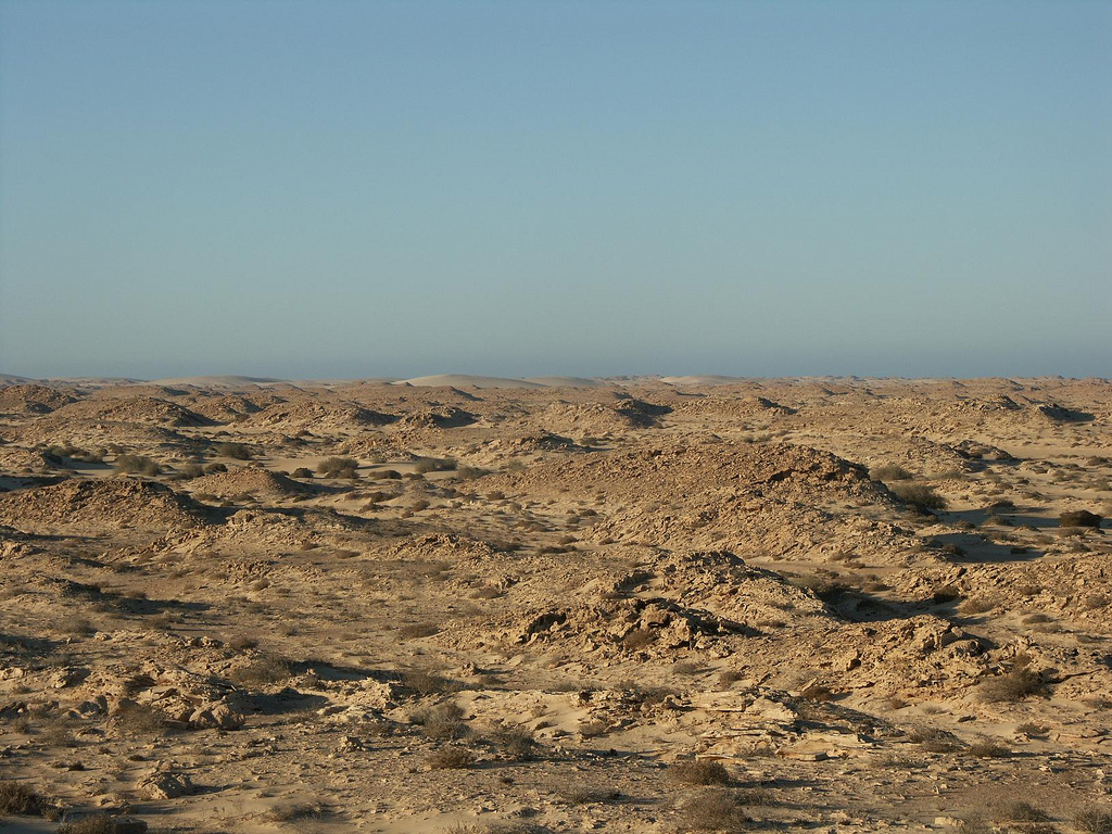
Geography and boundaries
Río de Oro occupies the southern coastal sector of the Western Sahara region. Historical descriptions place its northern limit near the 26th parallel and its southern edge near the 21°20' parallel, bordering present-day Mauritania. The territory covers a wide expanse of sand plains and dunes, interrupted by rocky outcrops and occasional dry riverbeds or wadis such as the one that gave the region its name; in some sources this wadi is identified as Megeta Mersug. The port town and administrative centre has been known as Dakhla in modern times; during Spanish rule it was called Villa Cisneros.
History and name
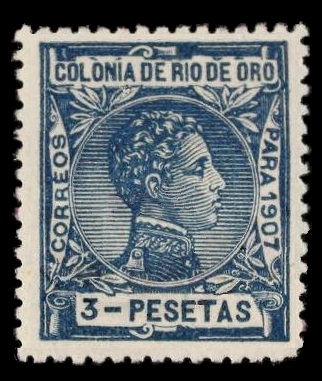
European interest in the area began in the 15th century. Early Portuguese navigators, including voyages recorded around 1442, called the coast Rio do Ouro after reports of trade in gold dust; they hoped these coasts might connect to the wealthy Saharan empires farther inland, such as Mali, and the era's famed ruler Mansa Musa. These hopes proved misplaced: gold deposits associated with those empires lay well to the south or inland. Over ensuing centuries the idea of a great river running to the Atlantic appeared on some maps, but later surveys reduced it to seasonal wadis and dry channels. A Spanish scientific and exploratory mission in 1886 sought the fabled river without success.
Colonial administration and modern status
From the late 19th century until the mid-20th century, Spain established formal control over the coastal regions and consolidated them administratively into Spanish Sahara, with Río de Oro as its southern district. The colonial period left place names, infrastructure around the port town of Villa Cisneros (Dakhla), and territorial divisions that shaped later claims. After Spain's withdrawal, the territory became the focus of competing claims and a long-standing dispute involving Morocco, the indigenous Sahrawi national movement, and international actors; today the area remains politically sensitive and partially administered under different authorities.
Economy, environment, and importance
The landscape of Río de Oro is arid and sparsely populated. Economic activity centers on coastal fisheries, limited agriculture where irrigation permits, and services in the principal towns. The long coastline and offshore waters are ecologically significant for seabirds and marine life and have been the focus of fishing and maritime routes. The region's historical significance derives more from its role in Atlantic exploration, colonial geopolitics, and contemporary territorial disputes than from mineral wealth at the coast.
Notable facts and legacy
- Its name derives from early Portuguese exploration and the myth of a "river of gold": see Portuguese accounts from the 15th century.
- Maps of different eras show varied notions of rivers and inland geography, sometimes implying links to the Niger basin or the Saharan empires that stretched toward the Niger River and Mali.
- The colonial capital was renown in Spanish times as Villa Cisneros and is today known as Dakhla.
- Río de Oro's modern political status is connected to the wider question of Western Sahara and international efforts to resolve competing claims; various policy documents and discussions can be followed through regional and global institutions (Spanish archival material and more recent studies).
For further historical context and cartographic evidence, consult specialist works on Saharan exploration and colonial archives; explorers and traders who passed the coast left mixed reports that encouraged centuries of speculation about inland riches, an expectation that shaped the name and reputation of Río de Oro long after the original voyages.
Further reading on local geography · Overview of Western Sahara · Mauritania border history


Related articles
Author
AlegsaOnline.com Río de Oro — historic region of Western Sahara Leandro Alegsa
URL: https://en.alegsaonline.com/art/82997