Rawalpindi: city overview, history, and significance
Rawalpindi is a major city on the Pothohar Plateau near Islamabad, known for its military headquarters, cantonments, industrial base, transport links and Pothwari cultural region.
Overview
Rawalpindi is a large city on the Pothohar Plateau, adjacent to Pakistan's capital, Islamabad. Administratively part of the province of Punjab, it forms one half of a contiguous metropolitan area with the capital and acts as a regional centre for government functions, commerce and services. The city's close relationship with Islamabad gives it an outsized role in national administration and regional planning.
Image gallery
10 Images


Geography and urban structure
Rawalpindi lies immediately to the south-west of Islamabad and shares infrastructure links and commuter flows with the capital. Its urban fabric combines older market districts and colonial-era residential areas with newer suburbs and industrial zones. The city is the administrative seat of the Rawalpindi District and occupies a strategic location on road and rail routes leading to other major cities; it is roughly 275 km north-west of Lahore. Local planning must negotiate the needs of dense historic neighbourhoods, cantonment areas and expanding peri-urban settlements.
History and development
Historically a trading and garrison town, Rawalpindi expanded under British rule when cantonments and military infrastructure were established. After independence it retained significant military and administrative functions; during the planning and construction of the purpose-built national capital, the city temporarily hosted many governmental and diplomatic activities (see capital construction history). Over the later 20th century Rawalpindi grew rapidly as civilian and military populations increased.
Military significance and administration
Rawalpindi is notable for its extensive cantonment areas and for hosting the headquarters of the Pakistan Army, which shapes the city's land use and employment profile. Military establishments sit alongside civilian neighbourhoods and public institutions, and their presence has influenced transport links, security arrangements and local services.
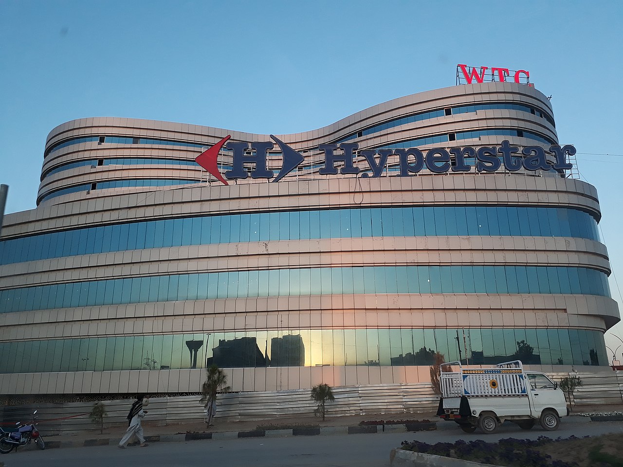
Economy and industry
The city's economy is diverse, combining government and military employment with manufacturing, trade and services. Small and medium enterprises, light industry and workshops are common in the metropolitan area. Markets and bazaars, long a feature of the urban economy, continue to serve not only local residents but also commuters from surrounding towns. Rawalpindi has historically relied on its transport connections and proximity to the capital to attract businesses.
Transport and infrastructure
Rawalpindi is a major rail junction and an important road hub linking northern and southern Pakistan. For many years air services used the airport at Chaklala, commonly referred to as Benazir Bhutto International Airport, which served both Rawalpindi and Islamabad. Local public transport, intercity buses and rail continue to be important for daily commuting and long-distance travel between the twin cities.
Population, language and society
Population figures for Rawalpindi have grown steadily over recent decades. The 1998 census recorded about 3.36 million people for the wider urban area; subsequent counts and estimates indicate ongoing growth as the metropolitan area expands. The local vernacular is Pothwari, while Urdu and Punjabi are widely used as lingua francas. The social character of the city reflects a mix of conservative residential communities, busy commercial areas and a substantial population connected to the military and public services.
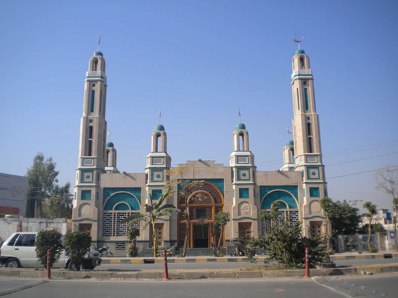
Culture, education and landmarks
Rawalpindi hosts long-established markets, religious sites, civic buildings and educational institutions that serve the population of the metropolitan region. Historic bazaars and modern shopping areas coexist, providing goods and services to diverse communities. Educational and cultural institutions contribute to the city's role as a regional centre for learning and public affairs.
Challenges and development
As with many fast-growing cities, Rawalpindi faces planning and infrastructure challenges: managing urban sprawl, upgrading transport networks, improving municipal services and balancing civilian needs with security and military land uses. Ongoing regional planning seeks to coordinate development between Rawalpindi and neighbouring Islamabad to improve housing, transport and environmental outcomes.
Further information
Readers seeking more detailed or up-to-date information can consult regional studies and official resources on the Pothohar region, the Islamabad–Rawalpindi metropolitan area, the government of Punjab, histories of the capital construction, materials on the city's airport and transport links (airport history), route distances such as that to Lahore, district administration sources for Rawalpindi District, and resources on the Pothwari language.
Climate and inhabitants
The literacy rate is 70.5 % (as of January 2006). The population is ethnically and linguistically heterogeneous, with Pothoharis, Punjabis, Muhajirs and Pashtuns.
The weather is difficult to predict. The average annual rainfall is 910 millimeters. In summer, the maximum temperature reaches up to 52 °C, while in winter it can drop to -5 °C.
Population development
| Census Year | Population |
| 1972 | 614.809 |
| 1981 | 794.843 |
| 1998 | 1.406.214 |
| 2017 | 2.098.231 |
The population of the agglomeration is expected to exceed 5.1 million by 2050.
Places of interest
Despite its rapid development into a large city, Rawalpindi has many good hotels, restaurants, clubs, museums and parks, of which Ayub National Park is the largest. Rawalpindi is the starting point for tourists visiting the resorts in the Galyat region, such as Murree, Nathia Gali, Ayubia, Abbottabad, Swat, Kaghan, Gilgit, Hunza, Skardu or Chitral.
The city has two main roads: Grand Trunk Road runs roughly east-west and is also known as the Mall. Murree Road runs north from the Mall and crosses the railway lines before skirting the eastern tip of the Old City and continuing on to Islamabad. The two main bazaars are the Raja Bazaar in the Old City and the Saddar Bazaar, which developed between the Old City and Grand Trunk Road as the Military District Bazaar.
The populated avenues of the old city are home to many attractions, including Hindu and Sikh temples and Muslim shrines.
Thanks to its history, Rawalpindi is also home to the Pakistan Army Museum, where information about colonial and contemporary armies, arsenals and war heroes is presented.
Ayub National Park is located beyond the old presidential residence on Jhelum Road. It occupies an area of about 9.3 sq km and has a playground for children, a lake with boats, an aquarium and a garden restaurant. On Murree Road, you will find the Rawalpindi Public Park, which was opened in 1991. Here one can find play facilities for children, lawns, fountains and flower beds.
The Rawalpindi Cricket Stadium, built in 1992, has a grass pitch, floodlights and a capacity of 15,000 spectators. The home team is called Rawalpindi Cricket Association. The hockey stadium of Rawalpindi also holds about 10,000 spectators.
Rawat Fort is located 17 kilometers east of Rawalpindi, on the Grand Trunk Road towards Lahore. It was built in the early 16th century by the Gakhars, a proud and independent tribe of the Pothohar Plateau. Inside the structure is the tomb of a Gakhar leader named Sultan Sarang Khan. He died in 1546 fighting against the forces of Sher Khan Suri. If you dare to step on the broken steps inside the tomb, you will get a great panoramic view of the plateau with the Mankiala Stupa. About an hour from Rawalpindi, on the same road towards Peshawar, lies the Attock Fort. The former fort is easy to see and is close to the shrine of Hazrat Jee Sahib, the traditional burial place of the Bati family of the Paracha clan from the nearby (abandoned) village of Malahi Tola.
Pharwala Fort is located about 40 kilometers away from Rawalpindi beyond Lehtrar Road. It is another Gakhar fort built in the 15th century on the ruins of the Shahi Fort, which was a Hindu site from the 10th century. General Babur captured the fort in 1519 and later, in 1825, the Sikh expelled the defeated Gakhars from the fort. Although in a crumbling state, it is still an attraction for lovers of forts, even though it is only open to Pakistani visitors due to its location in the military zone.


Related articles
Author
AlegsaOnline.com Rawalpindi: city overview, history, and significance Leandro Alegsa
URL: https://en.alegsaonline.com/art/81334