
QuikSCAT (Quick Scatterometer): ocean surface wind observations and legacy
QuikSCAT was a scatterometer satellite that provided routine ocean surface wind vector measurements for weather forecasting, storm monitoring and oceanography; it later aged and prompted replacement planning.
Overview
QuikSCAT (Quick Scatterometer) was an Earth-observing satellite mission built to deliver routine measurements of near-surface wind speed and direction over the global oceans. Developed as a rapid-replacement project after the loss of an earlier scatterometer, the mission supplied data to operational agencies such as NOAA and to scientific communities that study air–sea interaction. It operated in a sun-synchronous low-Earth orbit (sun-synchronous orbit) to provide frequent, repeatable coverage of marine regions.
Image gallery
6 Images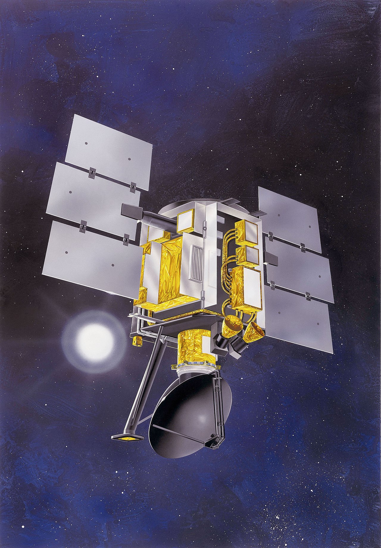



Instrument and measurement principle
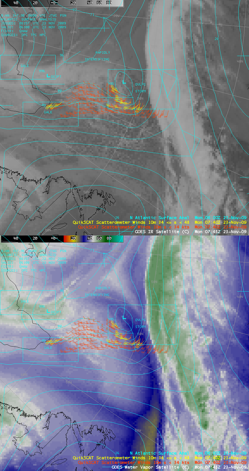
The sensor aboard QuikSCAT was a microwave radar scatterometer (commonly referred to as SeaWinds) that transmitted microwave pulses and recorded the radar backscatter from the ocean surface. Small-scale surface roughness created by wind-driven ripples and short waves strongly affects the backscatter signal. By measuring the amplitude and geometry of returned signals from several viewing directions, algorithms derive wind vector fields—estimates of both wind speed and wind direction—over open water.
Data products and processing
Typical QuikSCAT data products included calibrated backscatter measurements, gridded wind vector fields, and quality flags that identify rain contamination or other retrieval issues. These products were provided in near-real time to weather centers and later archived for climate and oceanographic research. Scatterometer data are particularly useful in data assimilation systems for numerical weather prediction because they add direct information about the near-surface wind field over regions where in situ observations are sparse.
Uses and importance
- Operational weather forecasting and assimilation into numerical models.
- Tropical cyclone and extratropical storm monitoring—surface wind patterns help define storm structure and intensity.
- Oceanography and studies of air–sea exchange, surface currents and wind-driven processes.
- Maritime safety and routing, because open-ocean wind estimates support ship operations and search-and-rescue planning.
Operational history and technical challenges
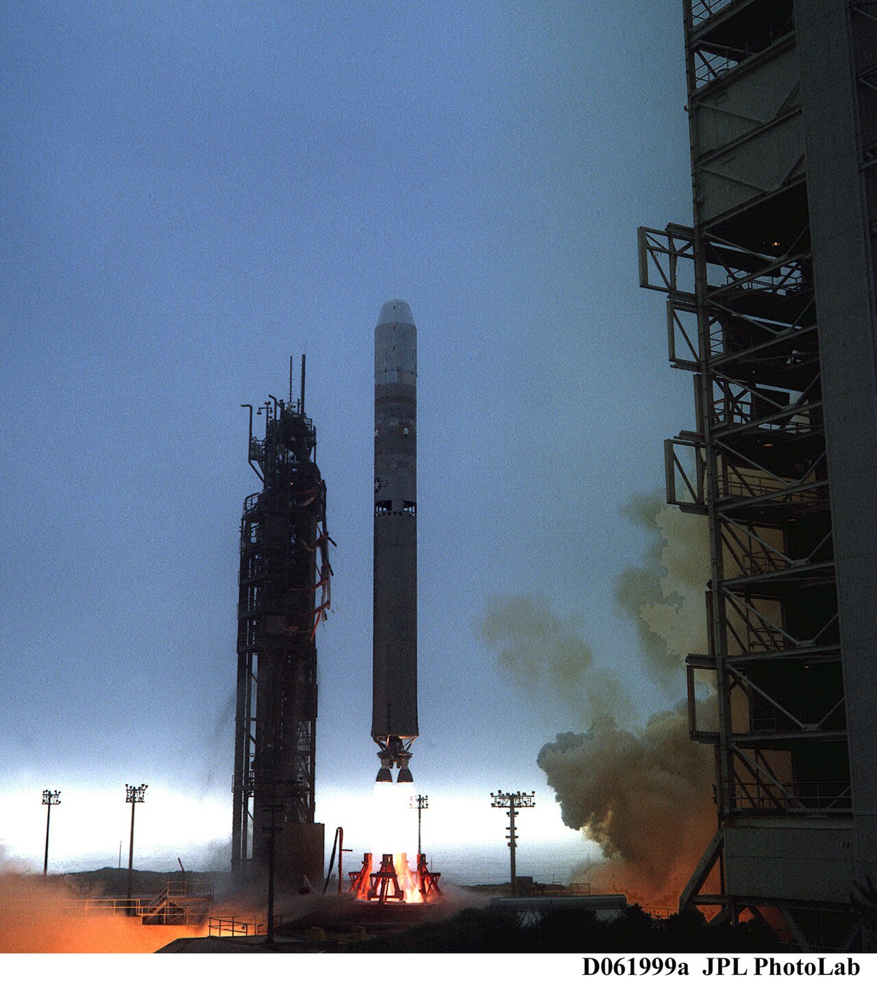
QuikSCAT was launched as a quick-response replacement following an earlier scatterometer failure (NSCAT) and provided an important, long-lived data stream. After the 2003 failure of Japan’s ADEOS II, which was to carry a successor instrument, QuikSCAT remained one of the few active U.S.-owned sources of global surface-wind vectors; European agencies also operated scatterometers on platforms such as those supported by ESA. Over time QuikSCAT experienced aging hardware and intermittent problems, including operation on a backup transmitter and other degraded subsystems identified as system faults. Because of that degradation, planners warned that the instrument could stop producing reliable data with little advance notice.
Controversy, policy and risk
The potential loss of QuikSCAT prompted debate among forecasters, managers and policymakers about resilience and mission replacement. Analysts highlighted the risk to tropical cyclone forecasts and other high-impact weather predictions if scatterometer data were abruptly lost (storm forecasting risk). In early June 2007 public comments by Bill Proenza, then director of the National Hurricane Center, drew attention to replacement planning and agency priorities; those remarks created controversy and media attention in places such as Florida and beyond (public discussion).
Legacy and successors
QuikSCAT’s long service demonstrated the operational value of routine global surface-wind measurements and influenced planning for more robust and redundant observing systems. European scatterometers and later U.S. and international missions aimed to provide overlapping coverage to reduce single-point mission risk. The experience highlighted the need for sustained funding, contingency planning and a mix of satellite and in situ observations to maintain the continuity of wind products critical for weather forecasting, maritime operations and climate studies.
Further information
Operational users and researchers continue to cite QuikSCAT as a milestone in spaceborne wind observation and as a case study in observing-system resilience; agencies maintain archives and retrospective analyses that document its contributions and limitations.
Questions and answers
Q: What is the QuikSCAT satellite?
A: The QuikSCAT (Quick Scatterometer) is an earth-observing satellite that provides wind speed and direction information over oceans to NOAA.
Q: Why was the QuikSCAT mission created?
A: It was created to fill the gap created by the loss of data from the NASA Scatterometer (NSCAT) that was lost in June 1997.
Q: What kind of orbit is the QuikSCAT in?
A: The QuikSCAT is in a sun-synchronous low-earth orbit.
Q: Why is the QuikSCAT currently important?
A: Because of the 2003 failure of the ADEOS II satellite that was meant to succeed the NSCAT, QuickSCAT is currently the only US-owned instrument in orbit that measures surface winds over the oceans.
Q: What is Envisat?
A: Envisat is a scatterometer owned by the European Space Agency that is also in orbit.
Q: What is the issue with Envisat as of the time of the text?
A: As of the time of the text, Envisat was running on a backup transmitter and having other problems, and could fail at any moment, putting risk at weather forecasts for possibly dangerous tropical cyclones.
Q: Why did Bill Proenza, Director of the National Hurricane Center in Florida, come under fire in early June 2007?
A: He criticized his NOAA superiors for not creating a back-up plan for replacing the capabilities provided by the Envisat satellite, which was experiencing issues that could affect weather forecasts for dangerous tropical cyclones.
Related articles
Author
AlegsaOnline.com QuikSCAT (Quick Scatterometer): ocean surface wind observations and legacy Leandro Alegsa
URL: https://en.alegsaonline.com/art/80552
Sources
- msnbc.msn.com : "Aging satellite worries hurricane forecasters"
- sfgate.com : "Hurricane Satellite Could Fail Anytime"
- miamiherald.com : "Candid storm chief gets a lashing"