
Pontine Islands
Small Italian archipelago in the Tyrrhenian Sea near the Gulf of Gaeta, known for rugged coasts, Roman history, marine life and summer tourism.
Overview
The Pontine Islands are a compact archipelago off the west coast of Italy, situated in the Tyrrhenian Sea near the Gulf of Gaeta. The group lies roughly 30–40 km from the European continent and is composed of several small islands and islets clustered close to the mainland. The chain takes its name from Ponza, the largest and most frequently visited island in the group.
Image gallery
6 Images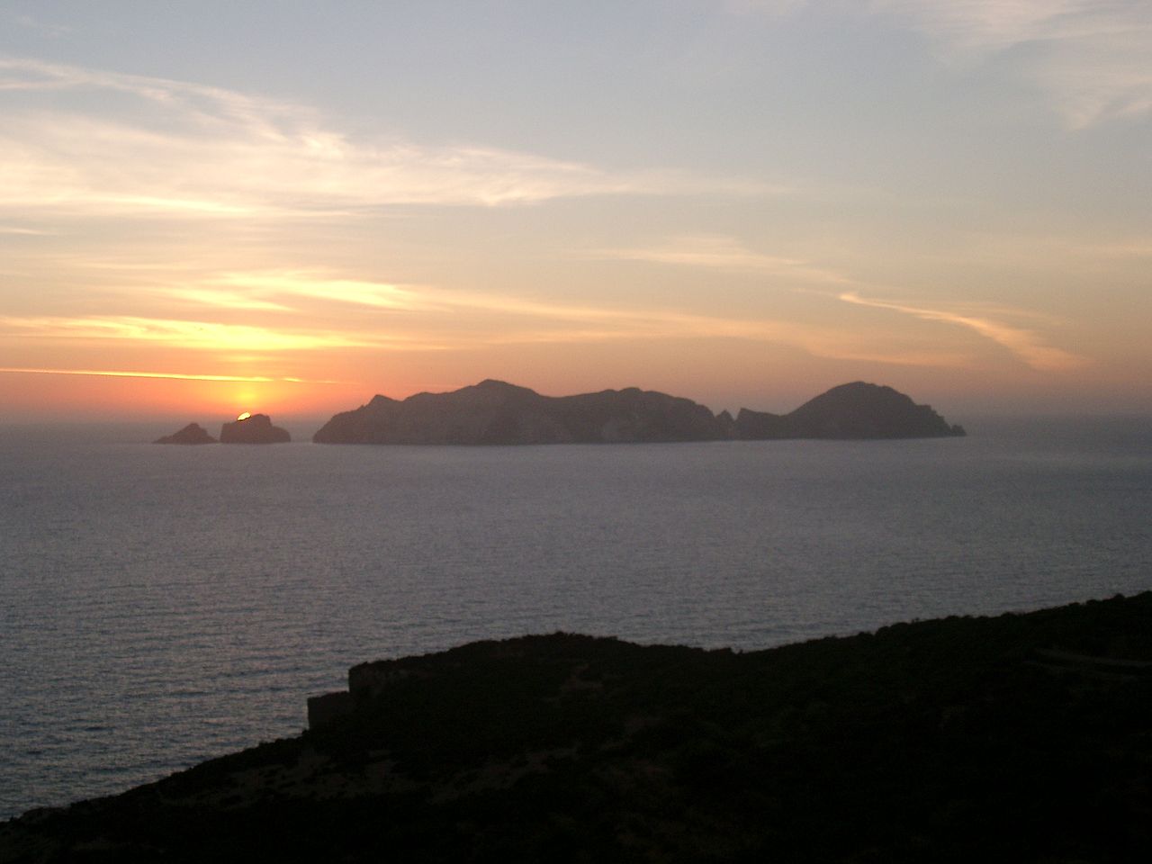


Islands and physical features
Although modest in size, the Pontine Islands are geographically varied. Key islands include:
- Ponza – the largest, with coves, cliffs and small harbors.
- Palmarola – rugged and largely undeveloped, prized for its sea caves.
- Ventotene – smaller and historically notable, with archaeological remains.
- Santo Stefano and several uninhabited rocks and islets.
Geologically the islands are products of ancient volcanic and sedimentary activity. Rocky shores, steep cliffs and underwater habitats create attractive conditions for snorkeling and scientific study.
History and cultural notes
The Pontine Islands have been occupied or visited since antiquity. During Roman times some islands served as places of exile; later their strategic position in the Tyrrhenian Sea made them relevant in medieval and modern maritime history. Ruins, ruins of simple Roman structures and other archaeological traces are reported on some islands, reflecting long but intermittent human settlement.
Ecology, protection and tourism
Vegetation is typical Mediterranean scrub, while surrounding waters support seagrass beds, fish and marine invertebrates. Parts of the archipelago and adjacent seas are subject to conservation measures and local marine-protected zones to preserve habitats and biodiversity. Today the islands attract day-trippers, divers and small-boat sailors; services expand in summer but remain limited outside the high season.
Access, administration and practical facts
Administratively the islands form part of the Lazio region and are reached by ferry or hydrofoil from several mainland ports; seasonal schedules increase connections and visitor facilities. Because of restricted land area and conservation priorities, visitors are encouraged to respect local rules, avoid damaging natural sites and consult official schedules and guidance before travel. For general regional context see further resources.
Questions and answers
Q: Where are the Pontine Islands located?
A: The Pontine Islands are located in the Tyrrhenian Sea off the west coast of Italy, at about 30-40 km from the European continent.
Q: What is the name of the largest island in the Pontine Islands archipelago?
A: The name of the largest island in the Pontine Islands archipelago is Ponza.
Q: How many islands are in the Pontine Islands archipelago?
A: The text does not provide information on how many islands are in the Pontine Islands archipelago.
Q: What is the Gulf of Gaeta?
A: The Gulf of Gaeta is a gulf located along the west coast of Italy.
Q: How far are the Pontine Islands from the European continent?
A: The Pontine Islands are about 30-40 km (19-25 mi) from the European continent.
Q: What is an archipelago?
A: An archipelago is a group or chain of islands.
Q: Why were the Pontine Islands named after Ponza?
A: The Pontine Islands were named after the largest island in the group, which is called Ponza.
Related articles
Author
AlegsaOnline.com Pontine Islands Leandro Alegsa
URL: https://en.alegsaonline.com/art/78001
Sources
- treccani.it : "Ponza"
- tuttitalia.it : "Comuni in provincia di Latina per popolazione"