
Pérez Zeledón (canton)
Pérez Zeledón is a canton in Costa Rica's San José province centered on San Isidro de El General; noted for its mountainous terrain, rivers, agriculture and access to the Talamanca Range.
Overview
Pérez Zeledón is the 19th canton of the province of San José in southern Costa Rica. Its administrative centre and largest town is San Isidro de El General, often shortened locally to "El General." The canton covers a large portion of the southern zone, with an area of about 1,905.51 square kilometres and a population in the order of 134,534, making it an important demographic and economic hub outside the national capital.
Image gallery
10 Images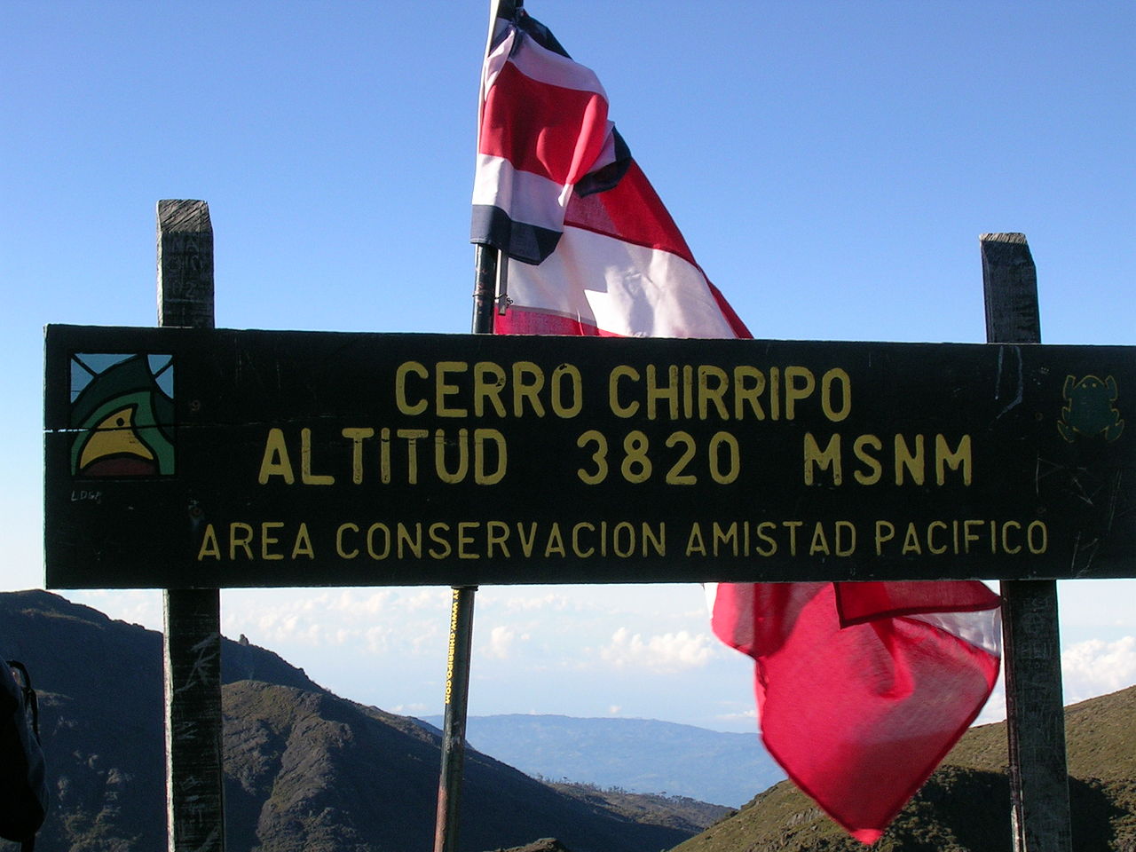


Geography and natural features
The canton is marked by varied terrain: lowland valleys, steep foothills and high mountains. Its boundaries are delimited in part by the Río Savegre and the Río Guabo, while the eastern side rises into the peaks of the Cordillera de Talamanca. The Río General runs roughly north to south through the canton and is a principal drainage artery. These features create a mix of microclimates and habitats that support diverse flora and fauna.
Economy and society
The economy of Pérez Zeledón is traditionally based on agriculture and livestock, with coffee, cattle and local food production among key activities. San Isidro de El General functions as the commercial and service centre for the surrounding rural districts, providing markets, health services and education. The canton plays a central role in the southern zone's transport and commerce networks within Costa Rica.
History, administration and identity
Pérez Zeledón was established as an administrative canton within San José province and has developed a distinct local identity tied to mountain agriculture and frontier settlement patterns. The canton contains several districts and townships administered from San Isidro de El General. Local festivals, civic institutions and municipal services reflect the blend of rural and urban life found across the area.
Tourism, protected areas and notable facts
Visitors are attracted by outdoor and nature activities: hiking, birdwatching and access to high-elevation trails in the Talamanca range. The canton acts as a gateway to protected zones and mountain landscapes accessed from the coastal mountain ranges and inner highlands. Notable practical points include:
- Strong agricultural presence that shapes local culture and economy.
- Significant river networks that influence land use and recreation.
- Proximity to the highest peaks of the Cordillera de Talamanca and important conservation areas.
- San Isidro de El General as the main urban and administrative centre.
These characteristics make Pérez Zeledón a canton of both economic importance and scenic value in southern Costa Rica.
Questions and answers
Q: What is Pérez Zeledón?
A: Pérez Zeledón is the name of the 19th canton of the province of San José in Costa Rica.
Q: What is the area of Pérez Zeledón?
A: Pérez Zeledón has an area of 1,905.51 square kilometres (735.72 sq mi).
Q: How many people live in Pérez Zeledón?
A: Pérez Zeledón has a population of 134,534.
Q: What is the capital city of Pérez Zeledón?
A: The capital city of Pérez Zeledón is San Isidro de El General.
Q: What are the boundaries of Pérez Zeledón?
A: The boundaries of Pérez Zeledón are made by Río Savegre river, Río Guabo river, and the coastal mountain ranges.
Q: What is the geography of Pérez Zeledón like?
A: Pérez Zeledón has the highest mountains peaks of the Cordillera de Talamanca (Talamanca Mountain Range) on the east. In the middle of the canton, the Río General river goes from north to south.
Q: What is the location of Pérez Zeledón?
A: Pérez Zeledón is located in the province of San José in Costa Rica.
Related articles
Author
AlegsaOnline.com Pérez Zeledón (canton) Leandro Alegsa
URL: https://en.alegsaonline.com/art/75774
Sources
- translate.googleusercontent.com : Economy of Pérez Zeledón Info
- elpais.cr : "Lista de alcaldes electos 2010 - 2016 en los comicios municipales"
- inec.go.cr : "Pérez Zeledón, San José"
- ifam.go.cr : "División Territorial Administrativa de Costa Rica"
- mpz.go.cr : mpz.go.cr/index.php?option=com_content&view=article&id=85:historia-pz&catid=38
- elespiritudel48.org : "Decreto San Isidro de El General Ciudad Mártir – El Espíritu del 48"
- elespiritudel48.org : "Comunicado del Cuartel General del ELN – El Espíritu del 48"
- circuito01pz.com : circuito01pz.com