Pegnitz River (Bavaria)
The Pegnitz is a roughly 115 km river in Upper Franconia, Bavaria, Germany. It rises near the town of Pegnitz, flows through Nuremberg, and joins the Rednitz near Fürth to form the Regnitz.
The Pegnitz is a small but regionally important river in Upper Franconia, Bavaria, Germany. Around 115 km long, it gives its name to the town of Pegnitz near its source and passes through a mix of rural valleys and urban environments. Although modest in size, the Pegnitz plays a clear role in local landscape, history and recreation.
Image gallery
6 Images


Course and physical characteristics
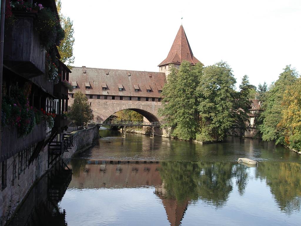
The river rises at approximately 425 m above sea level in the vicinity of the town of Pegnitz and flows mainly westward. It crosses upland terrain and descends to 283 m where it meets the Rednitz northwest of Fürth. From that confluence onward the combined stream is known as the Regnitz. Along its course the Pegnitz is channelled in places, especially through built-up areas, and it is crossed by numerous bridges and footpaths.
Key features
- Length: about 115 km; source elevation near 425 m, confluence at about 283 m.
- Passes through both rural Franconian countryside and the urban area of Nuremberg.
- Sections have been modified for flood control, navigation of small craft, and urban planning.
History and human use
Historically the Pegnitz supported mills, small industries and riverside settlements. Urban growth—most notably the expansion of Nuremberg—led to river engineering, embankments and bridges. In recent decades authorities and civic groups have pursued measures to balance flood protection with habitat restoration and improved public access, reopening stretches for recreation and ecological improvement.
Ecology and recreation
The Pegnitz Corridor provides habitat for fish and waterbirds and links a mosaic of wetland, meadow and riparian trees. It is popular for leisure activities such as riverside walking and cycling, angling and informal boating where permitted. Renaturalised sections aim to enhance biodiversity and reduce the impacts of urban runoff.
Notable points
While the Pegnitz is not a large river, its role as a headstream of the Regnitz gives it wider hydrological significance. It also lends a scenic and cultural character to the cities and villages it passes, and remains a focus for local conservation, heritage and recreational planning.
Questions and answers
Q: Where is the Pegnitz River located?
A: The Pegnitz River is located in Upper Franconia, Bavaria, Germany.
Q: What is the altitude of Pegnitz River's source?
A: The Pegnitz River's source is at an altitude of 425 m.
Q: What river does Pegnitz meet northwest of Fürth?
A: Pegnitz meets Rednitz at 283 m northwest of Fürth.
Q: What is the length of Pegnitz River?
A: The Pegnitz River is about 115 km long.
Q: What is the name of the river after Pegnitz meets Rednitz?
A: After Pegnitz meets Rednitz, the river is called Regnitz.
Q: What is the Pegnitz named after?
A: The Pegnitz is named after the city of the same name.
Q: What region is Pegnitz River located in?
A: The Pegnitz River is located in Upper Franconia region in Bavaria, Germany.
Related articles
Author
AlegsaOnline.com Pegnitz River (Bavaria) Leandro Alegsa
URL: https://en.alegsaonline.com/art/75463