
Australia (continent): Sahul, Meganesia and the Australian landmass
The continental landmass on the Australian Plate, including mainland Australia, Tasmania and New Guinea. Coverage of geography, geology, ecology, human history and how the continent differs from the country.
Overview
The Australia continent is the physical landmass that rests largely on the Australian Plate. In geographic and geological contexts it embraces the large island of New Guinea, the island of Tasmania and the Australian mainland. Because the name "Australia" also denotes a sovereign state, scientists and geographers sometimes use alternative names such as Sahul, Australinea or Meganesia to avoid confusion. The landmass sits within the broader region of Oceania and has a distinct geological and biological history from neighbouring Asian islands.
Image gallery
10 Images




Geography and principal parts
The continent comprises three principal components: the extensive continental mainland and two large islands. Together these areas share a shallow continental shelf in places and were linked by land bridges during periods of lower sea level.
- Mainland Australia — the largest portion, spanning deserts, temperate coastal zones and mountain ranges.
- Tasmania — an island to the south, with cooler climates and distinctive flora.
- New Guinea — the world’s second-largest island, to the north, with highlands and tropical rainforests.
Geology and early history
Geologically the continent is underpinned by the Australian tectonic plate. In the Pleistocene epoch, when sea level fell, exposed shelves connected the mainland with New Guinea and Tasmania, allowing plants, animals and human populations to move across what is sometimes called the Sahul landmass. Evidence for human occupation of parts of this landmass extends back tens of thousands of years, and Indigenous peoples developed distinctive cultures adapted to a wide range of environments.
Climate, landscapes and ecology
Climates on the continent range from tropical in the north to temperate and cool in the south, while much of the interior is arid. These gradients, along with long isolation from other continents, produced unique ecosystems: extensive eucalyptus woodlands, dry shrublands, tropical rainforests on New Guinea, and a high proportion of endemic animals including marsupials and monotremes. Coral systems and continental shelves support marine biodiversity such as the Great Barrier Reef off the northeastern coast of the mainland.
Human uses and significance
The landmass has long supported human societies with diverse subsistence strategies, from hunting and gathering to agriculture and modern industry. Today economic activities include agriculture, mining of mineral resources, forestry and tourism focused on natural and cultural landmarks. Conservation efforts seek to protect fragile habitats, endemic species and important cultural sites while balancing development pressures.
Distinctions and notable facts
It is important to distinguish the continental concept from the political entity named Australia. The country of Australia occupies most of the continent’s land area but not all of it; New Guinea is politically separate from the Australian state system. For clarity, scientific literature will often prefer names such as Sahul when discussing geological, palaeontological or ecological topics that apply to the entire landmass rather than the nation-state. For further reading see regional overviews in mainland resources and island studies for New Guinea and Tasmania, or broader context within Oceania.
Historical geology
→ Main article: Geology of Australia
The continent of Australia lies on the Australian continental plate, which is seen as part of the larger Indo-Australian plate. In addition to Australia in the narrower sense and New Guinea, this includes the northern part of New Zealand as well as the eastern Indian Ocean, the Indian subcontinent and part of the southwest Pacific. The Australian continent is now moving northeast at a rate of 73 mm per year.
Originally, the continent Australia was part of the southern large continent Gondwana, that began to separate again from the "original continent" Pangaea from the late Triassic approximately 230 million years ago.
In the Jurassic, about 180 million years ago, Gondwana also gradually began to break up into today's "southern continents". At the beginning of the Late Cretaceous, about 95 million years ago, the continental blocks of South America, Africa-Arabia, Indo-Madagascar and Australo-Antarctica had largely separated. However, the young ocean basins between these blocks were still relatively narrow. Later in the Late Cretaceous, India broke away from Madagascar, drifted rapidly northeastward in the Paleocene, and collided with Eurasia about 50 million years ago in the Eocene. Madagascar, on the other hand, remained close to Africa. Although the earliest phase of the separation of the Australian continent from Antarctica began in the early Cretaceous, it remained near Antarctica until the Paleocene and did not begin to migrate rapidly northward until the Eocene. The separation of Zealandia (with New Zealand) from Australo-Antarctica was relatively advanced by this time. In the Oligocene, about 25 million years ago, the Australian continent collided with an island arc in the southwest Pacific, the precursor of today's Mariana Islands and Palau Ridge, causing the mountains of New Guinea to fold up. During the Miocene, about 15 million years ago, the Australian continent began to brush the southeastern tip of Eurasia (i.e., present-day Southeast Asia), and gradually the present situation formed. During the Pleistocene, Australia, New Guinea and Tasmania were one continuous land mass, Sahul, due to the low sea level worldwide. It was not until about 12,000 years ago that the Bass Strait was flooded, and finally, 8000 years ago, the Torres Strait was flooded and with it the land links between Australia and Tasmania and New Guinea.

Geography
→ Main article: Geography of Australia
The continent of Australia comprises a main land mass, Australia proper, the offshore islands of Tasmania, New Guinea, which is also called Papua or Irian, and several island groups and smaller islands such as Salawati, Misool, the Aru Islands, the Biak Islands, Yapen, the Lusancay Islands, Muyua ("Woodlark"), the D'Entrecasteaux Islands, the Kiriwina Islands ("Trobriand Islands") and the Louisiade Archipelago. The northernmost point is directly on the equator, on Kabare Island; to the south the continent extends to the southeast cape on Tasmania at 43° south. The east-west extent is from Cape Byron at 153 degrees longitude east to Cape Inscription at 113 degrees longitude east.
With an area of 8,500,000 km², the continent is almost as large as Europe. The land mass of Australia without offshore islands is about 7.600.000 km² and is still more than three times as big as the biggest island of the earth, Greenland. Therefore, Australia is rarely called an island, one also finds the term island continent. The following states lie completely or partially on the continent:
- Australia (whole)
- Papua New Guinea (whole)
- Indonesia (western part of the island of New Guinea)
Australia is characterized by its dry, flat hinterland. In the east, the flat centre is bordered by the Great Dividing Range, which reaches a height of 2228 m with Mount Kosciuszko. This mountain range extends to Victoria in the southeast. In the sparsely populated west of the continent are the Australian deserts, such as the Nullarbor Desert. These flat landscapes are only occasionally interrupted by elevations such as the MacDonnell Ranges. A prominent landmark of the Australian mainland is the island mountain Uluṟu, at the foot of which lie several sacred Aboriginal sites.
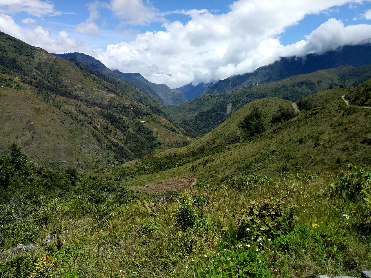
In contrast to the rest of the continent, New Guinea is home to highly rugged mountains due to the collision with the Eurasian continental plate. A mountain range about 200 km wide crosses the entire island from west to east. Here are the highest mountains of the continent, the Puncak Jaya with 4884 m and Mount Wilhelm with 4509 m.
Australia's most famous rivers include, for example, the Darling River, Murray River, Snowy River and the Sepik. The interior is poor in freshwater reservoirs, large salt lakes such as Lake Eyre determine the landscape. Lake Eyre, at 15 m below sea level, is also the lowest point in Australia.

Tags
Related articles
Author
AlegsaOnline.com Australia (continent): Sahul, Meganesia and the Australian landmass Leandro Alegsa
URL: https://en.alegsaonline.com/art/7461