
Orienteering: map-and-compass navigation sport and outdoor activity
Orienteering is a timed outdoor sport in which participants use detailed maps and a compass to visit control points in order; it includes foot, mountain‑bike, ski and trail forms and is governed internationally by the IOF.
Overview
Orienteering is an outdoor navigation sport in which individuals or teams use a detailed map and usually a compass to find a sequence of control points in terrain. Courses vary in length and complexity; competitors are timed and the objective is to visit all controls in the correct order as quickly as possible. While the best known form is foot orienteering, there are several other competitive and recreational variants that emphasize different skills or accessibility.
Image gallery
10 Images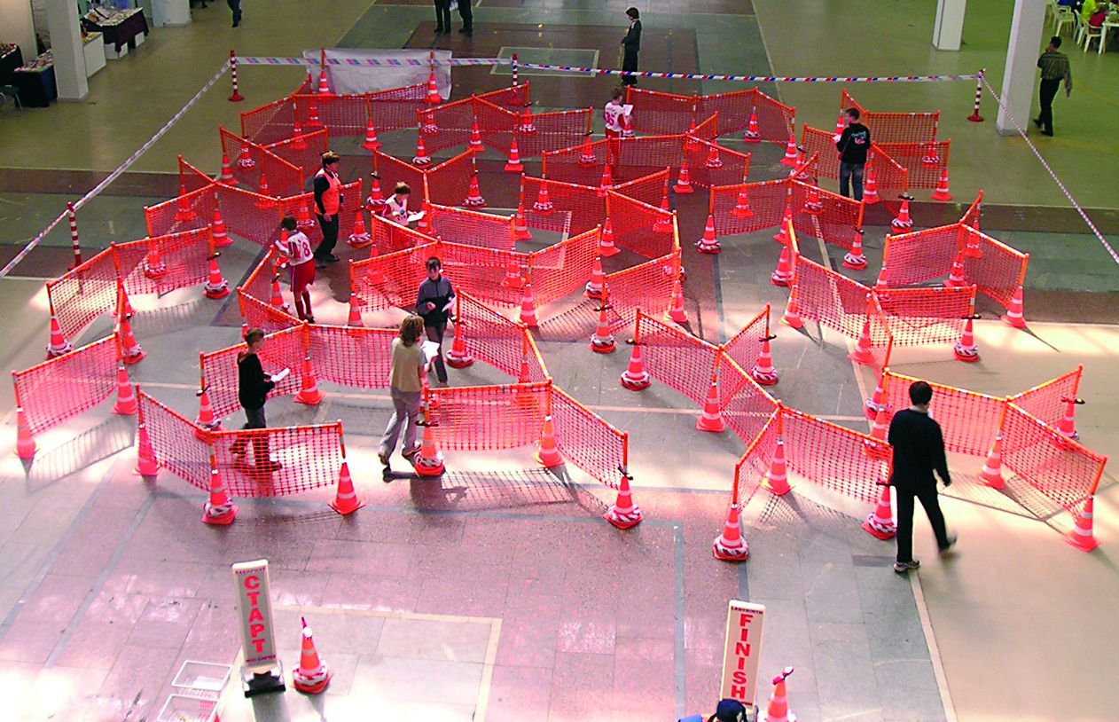


Core characteristics
Central elements of orienteering include a specially prepared map showing vegetation, paths, water, contours and a set of marked control locations, plus a control description that clarifies each checkpoint. Competitors plan route choices between controls, orient the map to terrain features, and navigate often off paths. Events can be mass-start or interval-start and may be individual or relay-based. Timing is recorded by electronic punches or manual methods at each control.
Equipment and formats
Typical equipment is a scale topographic map made for the event, a compass, appropriate footwear and clothing for the terrain, and an electronic timing device in many modern competitions. Maps for classic events commonly use scales such as 1:10,000 or 1:15,000; sprint events use larger‑scale urban maps so details are clearer. Formats include sprint (short, fast, often urban), middle and long distance, relay races, night orienteering and recreational styles such as score events and rogaining.
History and organization
Orienteering originated in Scandinavia as a form of military navigation training and developed into a civilian sport in the early 20th century. The International Orienteering Federation (IOF) oversees international rules, fairness standards and championship events; national federations run local clubs, events and training programs. Major multi-day and world-level competitions have driven mapping standards and electronic timing technology.
Major disciplines
- Foot orienteering: the standard running form over varied terrain.
- Mountain bike orienteering: navigation while riding, with route-choice emphasis.
- Ski orienteering: cross-country skiing on prepared tracks in winter conditions.
- Trail orienteering: focuses on precise map reading and accessibility rather than speed.
Uses, benefits and distinctions
Beyond competition, orienteering is used to teach map-reading, decision-making and outdoor safety. It promotes physical fitness, problem-solving and environmental awareness; clubs often run events for schools and families. Orienteering differs from GPS-based activities such as geocaching by deliberately restricting electronic navigation aids and relying on map-and-compass skills. It also differs from treasure-hunt games in its standardized mapping, timed scoring and formalized control verification.
Questions and answers
Q: What is orienteering?
A: Orienteering is a sport where people run around an area to certain control points given on a map.
Q: What is Foot Orienteering?
A: Foot Orienteering is the most popular type of orienteering in Britain and the US.
Q: What do people use in orienteering?
A: In orienteering, people use a special map which shows where they have to go and in what order.
Q: How do people win in orienteering?
A: People are timed and the person who is quickest wins.
Q: Where does the word Orienteering come from?
A: The word Orienteering comes from orientering, which is a word that comes from Sweden.
Q: Who developed orienteering?
A: Orienteering is developed by International Orienteering Federation (IOF).
Q: How many types of orienteering does IOF recognize?
A: IOF recognizes several types of orienteering. The text does not mention a specific number.
Related articles
Author
AlegsaOnline.com Orienteering: map-and-compass navigation sport and outdoor activity Leandro Alegsa
URL: https://en.alegsaonline.com/art/73133
Sources
- orienteering.org : National Federations
- orienteering.ca : "History of the Canadian Orienteering Federation"