Ohio (U.S. state)
Midwestern U.S. state with capital Columbus; known for a mix of industry and agriculture, influential politics, and many notable residents including several presidents and astronauts.
Overview
Ohio is a state in the United States and one of its 50 states. Its capital and Columbus serves as the state government center and is also the state’s largest city. Located in the American Midwest, Ohio occupies a transitional zone between the Great Lakes to the north and more agricultural lands to the south and west, giving it a mix of urban, suburban and rural landscapes.
Image gallery
10 Images


Geography and cities
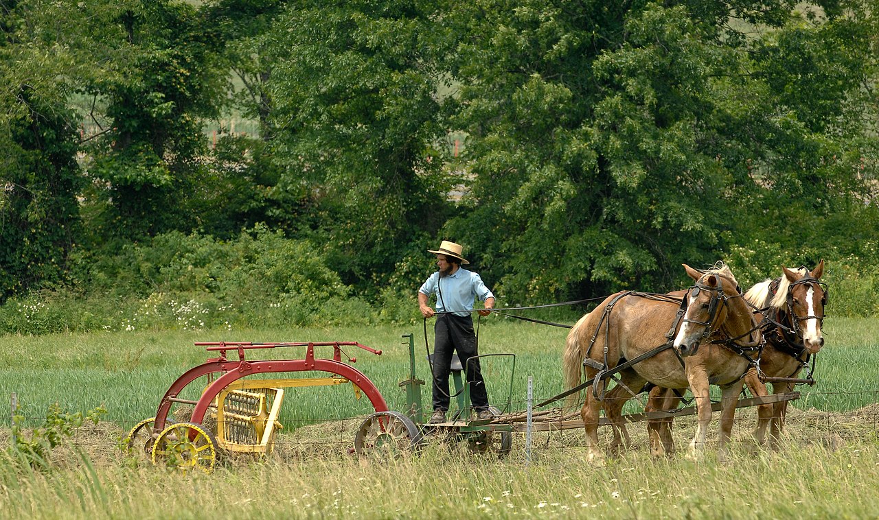
The state’s landscape includes lake shore, river valleys, rolling plains and pockets of older industrial towns. Major population centers include Dayton, Akron, Toledo, and Youngstown, alongside nationally known cities such as Cleveland and Cincinnati. These cities grew around manufacturing, transportation routes and natural resources, while surrounding counties support corn, soy and livestock production.
History and notable residents
Ohio played a central role in 19th- and 20th-century American economic and political life. The state produced influential inventors and explorers, including the Wright brothers, and was the birthplace or home of well-known cultural figures. Astronauts like John Glenn and Neil Armstrong are associated with the state; authors such as Sherwood Anderson and Toni Morrison, and actors from early Hollywood to modern film like Clark Gable and Katie Holmes also have Ohio ties. Several U.S. presidents were born in or politically connected to Ohio, including Ulysses S. Grant, Rutherford B. Hayes, James A. Garfield, Benjamin Harrison, William McKinley, William Howard Taft, and Warren G. Harding.
Economy and politics
Ohio’s economy historically combined heavy manufacturing, steel and automotive supply, with modern growth in finance, education and health care. Agriculture remains important in rural counties. Politically, Ohio has long been viewed as a competitive or "swing" state in presidential contests. For decades the state’s vote was seen as an indicator of national outcomes; that pattern has been less certain in recent elections such as 2020 and earlier eras like 1960 provide context for changing alignments. Historically, no Republican has won the presidency without carrying Ohio.
Culture, demographics and challenges
Ohio’s population ranks among the higher states by size and includes a mix of long-settled urban neighborhoods and newer suburbs. The state’s cultural life features sports, college traditions, midwestern cuisine and a strong civic culture. Like many parts of the country, Ohio has a complex record on race and civil rights: communities of color, including Black Ohioans, have shaped the state’s history while also confronting inequality and discrimination, which remain subjects of public policy and activism.
Notable facts and distinctions
- Strategic location: border with the Great Lakes and multiple interstate corridors.
- Political prominence: frequent national campaign stops and close elections.
- Cultural exports: music, literature, invention and aerospace pioneers tied to Ohio’s institutions.
Geography
Geographical position
Ohio is located in the Midwest of the USA between Pennsylvania in the east, West Virginia in the southeast, Kentucky in the southwest, Indiana in the west and Michigan and Lake Erie in the north. In Lake Erie, Ohio borders the Canadian province of Ontario. The boundaries with West Virginia and Kentucky are formed by the north bank of the Ohio River according to its 1792 course, and the boundaries with Indiana and Pennsylvania run due north-south. The boundary with Michigan was originally intended to run due west-east on the latitude of the southern tip of Lake Michigan. Since its location was not precisely known, and therefore it was feared that the boundary might miss the southern shore of Lake Erie, the Constitution of 1803 defined the northern boundary as a direct line running from the southern extremity of Lake Michigan to the most northerly cape of the Miami Bay (a straight line from the southern tip of Lake Michigan to the northernmost cape of Maumee Bay [at the mouth of the Maumee River]). Since the Michigan Territory had established its southern boundary according to the original definition, a boundary dispute arose between the two that intensified into what became known as the Toledo War (though no one was killed) by 1835.
The eastern part of the state is part of the Allegheny Plateau (part of the Appalachian Plateau). The south of the plateau is hilly, and the north, which was ice-covered during the last cold period, is less rugged. The western part of the state was also ice-covered and is defined by ground and terminal moraines, rising to 472 m in Campbell Hill, the highest elevation in the state. The level of Lake Erie is at 174 m, and the lowest point of Ohio is at the junction of the Great Miami River with the Ohio River at 137 m. On average, Ohio is 260 m above sea level.
Rivers and lakes
The Eastern North American Continental Divide cuts through Ohio. The northern part of the state is part of the Lake Erie drainage basin, which drains to the Atlantic Ocean via the Niagara River and the St. Lawrence River; the southern part drains to the Gulf of Mexico via the Ohio River and the Mississippi River.
Important tributaries of the Ohio River in Ohio are Little Muskingum River, Duck Creek, Muskingum River, Hocking River, Scioto River, Little Miami River and the Great Miami River. The latter is connected to Lake Erie by the Miami Canal. The Wabash River rises in Ohio and flows through Indiana and Illinois also into the Ohio River. Cuyahoga River, Grand River, Huron River, Sandusky River, and Maumee River (from east to west) empty into Lake Erie.
Outline
→ Main article: List of counties in Ohio
Related articles
Author
AlegsaOnline.com Ohio (U.S. state) Leandro Alegsa
URL: https://en.alegsaonline.com/art/72129
Sources
- commons.wikimedia.org : Ohio
- mahoningcountyoh.gov : "Creation of the Board of Elections"
- factfinder.census.gov : July 2017 Annual Estimate
- kff.org : "Median Annual Household Income"
- factfinder2.census.gov : "American FactFinder - Results"
- governorsresidence.ohio.gov : "Ohio's State Symbols"