Očauš: a mountain of central Bosnia
Očauš is a forested mountain in central Bosnia and Herzegovina, rising to 1,402 m at Mihailovac. It lies between the Vrbanja and Ukrina river basins and supports villages, pastures, springs and mixed woodland.
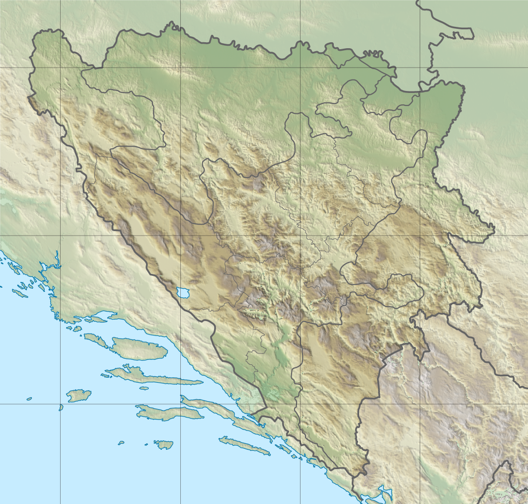
Očauš is a mountain in central Bosnia and Herzegovina, reaching 1,402 metres (about 4,600 feet) at its highest point, Mihailovac. It is oriented roughly southeast–northwest and occupies territory mainly within the municipalities of Kotor Varoš and Teslić. The ridge forms a local watershed between the Vrbanja and Ukrina river systems and is commonly considered part of the broader Dinaric mountain zone of the western Balkans.
Image gallery
2 Images
Landscape and geology
The terrain of Očauš combines long forested slopes, grassy ridges and small karstic features typical of the region. Bedrock is largely composed of sedimentary rocks common to the Dinarides, with soils that support mixed mountain forests and pockets of meadow. The mountain’s profile is modest compared with the highest Dinaric peaks but it is prominent in the surrounding lowlands and river valleys.
Vegetation, wildlife and natural resources
Vegetation is dominated by mixed broadleaf and conifer stands, with beech and fir or spruce occurring at higher elevations and oak, hornbeam and other deciduous species lower down. Očauš supports wildlife typical of central Bosnian highlands, such as deer, wild boar, foxes and a variety of birds. The area has long been used for timber, pasture and small-scale agriculture; local forests and meadows remain important for grazing, hay production and non-timber forest products.
Hydrology and water resources
The mountain is notable for its water resources: numerous springs, wells and small streams arise on its slopes and contribute to tributaries of both the Vrbanja and Ukrina rivers. These waters are important for village water supply, livestock and irrigation in the surrounding settlements. Visitors and researchers often note the clear mountain streams and numerous permanent springs that characterize the area.
Settlements, land use and access
A number of villages and hamlets lie on or around Očauš, reflecting a traditional mountain settlement pattern of dispersed farmsteads and small communities. Notable local places include:
- Upper Očauš and Lower Očauš
- Mihajlovačka kosa
- Tavani, Ðurđevac and Kilavac
- Lepenica, Dolovi, Ceranska kosa, Počivala, Glavička kosa and Mosor
Access is mainly by local roads and forest tracks from Kotor Varoš, Teslić and neighbouring lowland towns. Hiking, hunting and seasonal grazing are common uses; tourism infrastructure is limited, so visitors should prepare for basic conditions.
For pronunciation and local information see a regional guide or audio resource (see pronunciation), and for mapping and geographic context consult a local map source (see map). Očauš remains a valued local natural area: its forests, waters and pastures continue to support rural communities while offering opportunities for quiet outdoor recreation.
Questions and answers
Q: What is Očauš?
A: Očauš is a mountain in central Bosnia.
Q: How high is Očauš?
A: Očauš is 1,402 metres (4,600 feet) high at Mihailovac peak.
Q: In which municipalities is Očauš located?
A: Očauš is located in the municipalities of Kotor Varoš and Teslić.
Q: What is the direction of Očauš?
A: Očauš extends in the southeast - northwest.
Q: What are the river basins surrounding Očauš?
A: The river basins surrounding Očauš are Vrbanja river and Ukrina.
Q: What natural resources are present on Očauš?
A: Očauš is rich in forest goods and pastures, as well as water resources such as water wells, streams, and rivers.
Q: What are some of the villages and hamlets on Očauš?
A: The villages and hamlets on Očauš include Upper Očauš, Lower Očauš, Mihajlovačka kosa, Tavani, Ðurđevac, Kilavac, Lepenica, Dolovi, Ceranska kosa, Počivala, Glavička kosa and Mosor.
Related articles
Author
AlegsaOnline.com Očauš: a mountain of central Bosnia Leandro Alegsa
URL: https://en.alegsaonline.com/art/71815
Sources
- kartabih.com : "Karta BiH - Karta Bosne i Hercegovine"