Aube (river)
A tributary of the Seine in northeastern France, the Aube flows from the Plateau of Langres through historic towns and lends its name to the Aube department.
The Aube is a river in northeastern France and a right-bank tributary of the Seine. Its source lies on the Plateau of Langres and it follows a generally northwestward course through rural and urban landscapes before joining the Seine. For precise location data see coordinates. The river gives its name to the Aube department and plays a role in local identity and economy.
Image gallery
5 Images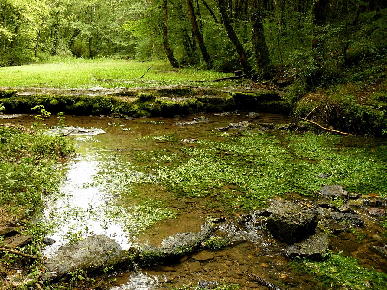


Course and characteristics
The Aube travels across several departments and varied terrain, moving from upland plateaus into agricultural plains. It is commonly cited as being roughly 240–250 km long, with a drainage basin that collects water from numerous smaller streams. Flow rates vary seasonally, rising in winter and spring with rainfall and snowmelt, and falling in summer.
History and name
Place names along the Aube reflect centuries of settlement, from Gallo-Roman times through the medieval period to the modern era. The river’s name appears in medieval documents and has been used to define administrative boundaries; the modern Aube department carries the river’s name as a geographic emblem. For background on the river in French geography see national sources.
Uses, ecology and towns
Historically the Aube supported watermills, irrigation and local transport. Today it remains important for agriculture, freshwater habitats, angling and riverside recreation. Notable towns on or near its course include market towns and small communes that developed beside the water for trade and industry. Conservation efforts target freshwater species and riparian zones to maintain ecological quality.
Quick facts
- Tributary of: the Seine (right-bank)
- Namesake: Aube department (administrative link)
- Further reading: maps and river guides (river resources)
The Aube remains a regional feature of northeastern France: geographically modest but culturally and environmentally significant, connecting upland sources to the Seine and the larger river network of the country.
Questions and answers
Q: What are the coordinates of the Aube river?
A: The coordinates of the Aube river are 48°33′40″N 3°42′56″E / 48.56111°N 3.71556°E / 48.56111; 3.71556.
Q: What is the Aube river known as?
A: The Aube river is known as a right tributary of the Seine.
Q: Where is the Aube department located?
A: The Aube department is located in France.
Q: What is the Aube department named after?
A: The Aube department is named after the Aube river.
Q: Is the Aube river located in France?
A: Yes, the Aube river is located in France.
Q: What type of river is the Aube?
A: The Aube is a right tributary of the Seine.
Q: Is the Aube river important to the Aube department?
A: Yes, the Aube river is very important to the Aube department as it is named after the river.
Related articles
Author
AlegsaOnline.com Aube (river) Leandro Alegsa
URL: https://en.alegsaonline.com/art/7145
Sources
- commons.wikimedia.org : Aube River
- services.sandre.eaufrance.fr : "L'Aube (F1--0200)"
- hydro.eaufrance.fr : "L'Aube à Arcis-sur-Aube]"
- geoportail.gouv.fr : "Source de l'Aube"
- geoportail.gouv.fr : "Embouchure de l'Aube"