
Novaya Zemlya: Arctic archipelago of northern Russia
Novaya Zemlya is a two-island Arctic archipelago in northern Russia, known for rugged mountains, extensive glaciers, sparse settlements, Arctic wildlife and its Cold War nuclear test history.
Overview
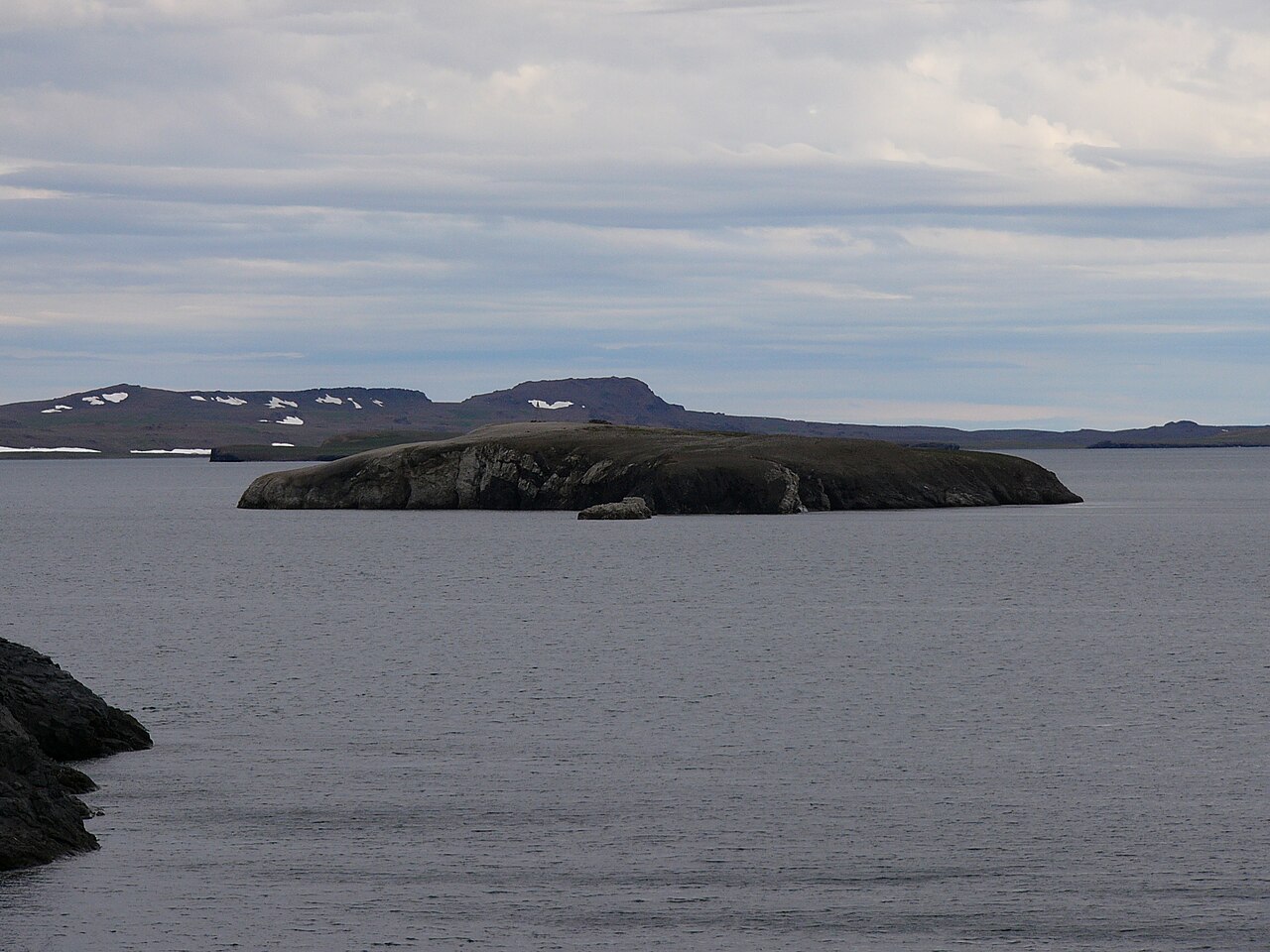
Novaya Zemlya (the Russian name is Но́вая Земля́) is an Arctic archipelago located in the Arctic Ocean off the northern coast of Russia. The group consists primarily of two large islands, commonly called Severny (northern) and Yuzhny (southern), which together form a narrow, elongated land mass that separates the Barents Sea from the Kara Sea. The islands lie well above the Arctic Circle and extend roughly 900 km from end to end, creating a distinctive Arctic landscape of mountains, ice and tundra.
Image gallery
10 Images




Geography and physical characteristics
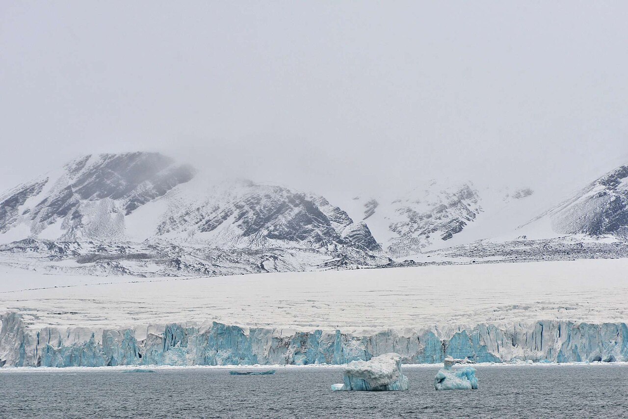
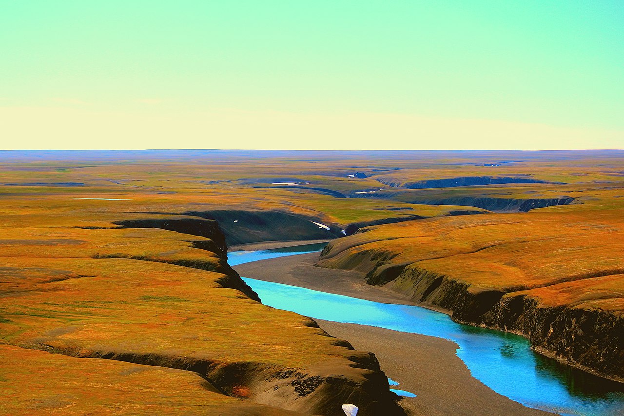
Novaya Zemlya is the northern continuation of the Ural Mountains chain and is mountainous across much of its area. Severny Island is heavily glaciated, with large valley and dome glaciers that reach the sea, while Yuzhny Island has lower elevations and extensive tundra plateaus. The two islands are divided by the narrow Matochkin Strait; currents and sea ice through this channel influence local marine conditions.
Human presence and settlements
Human habitation on Novaya Zemlya is limited. Historically the area was visited by hunters and fishermen, including Pomor and Novgorodian parties as early as the medieval period. Today the population numbers only a few thousand people, concentrated mainly in military and administrative settlements; the largest community is Belushya Guba on the southern island. Much of the archipelago remains sparsely populated and administratively controlled for defense and scientific purposes.
History and exploration
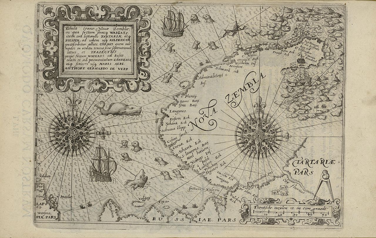
Novaya Zemlya has long appeared in northern navigation and exploration accounts. Russian hunters reached the region in the early medieval era, and later European explorers, such as Willem Barents in the late 16th century, used the islands while seeking northern passages. The name and surrounding seas preserve traces of that history: for example, the Barents Sea commemorates the Dutch navigator who overwintered near the archipelago.
Nuclear testing and strategic role
In the 20th century Novaya Zemlya took on a strategic role. From 1954 it was designated a nuclear test site and was used extensively by the Soviet Union during the Cold War for weapons testing. The most famous event was the detonation of the hydrogen device commonly known as the Tsar Bomba in 1961, the largest single nuclear explosion on record. Testing and militarization led to relocations and long-term monitoring of environmental and health effects in the region.
Climate, ecosystems and wildlife
The climate is Arctic: long, dark winters with polar night and brief summers with continuous daylight. Vegetation is limited to tundra communities on the southern island and scattered coastal flora elsewhere. Wildlife includes seabird colonies, walrus and seal haul-outs, Arctic foxes and populations of polar bear that forage along sea-ice edges. The glaciated north supports freshwater and marine habitats influenced by glacial melt and pack ice dynamics.
Notable features and contemporary significance
Today Novaya Zemlya remains important for several reasons: as an example of high-Arctic geology and glaciation (glaciers), for ongoing scientific research into climate and polar environments, and as a strategic military area. Its isolation and harsh conditions preserve both cultural traces of early Arctic peoples and reminders of 20th-century geopolitical competition. For more general context on polar archipelagos and navigation history see related resources such as regional atlases and polar research portals.
- Geographic role: divider of the Barents Sea and the Kara Sea
- Physical extremes: northern mountains, extensive glaciers and tundra
- Cultural note: long-known to Russian hunters and European explorers (Russian name, early Novgorodian visitors)
- Strategic history: Cold War test site including the Tsar Bomba
Further reading and specific datasets can be found through polar research institutes and national geographic services; see institutional portals and archived expedition reports for primary source material and maps (archipelago studies, Arctic Ocean references, regional government pages at Russian administrative portals).
Questions and answers
Q: Where is Novaya Zemlya located?
A: Novaya Zemlya is located in the Arctic Ocean in the north of Russia and the extreme northeast of Europe.
Q: What is the archipelago made of?
A: The archipelago is made of a north island and a south island that separates the Barents Sea from the Kara Sea.
Q: How long is Novaya Zemlya?
A: Both islands together are about 900 km long.
Q: How many people live on the islands of Novaya Zemlya?
A: Today, 2716 people live on the islands, with 2622 of them living in the capital Belushya Guba on the south island.
Q: When did the Russians first know about Novaya Zemlya?
A: The Russians knew of Novaya Zemlya from the 11th century when hunters from Novgorod visited the area.
Q: What was Novaya Zemlya used for during the cold war?
A: In July 1954, Novaya Zemlya was designated the Novaya Zemlya Test Site and was used as a test site throughout the cold war.
Q: What is the significance of Tsar Bomba?
A: In 1961, Tsar Bomba was dropped on Novaya Zemlya, making it the site of the largest nuclear bomb ever made at 50 Mt. By contrast, the largest weapon ever produced by the United States, the now-decommissioned B41, had a predicted maximum yield of 25 Mt.
Tags
Related articles
Author
AlegsaOnline.com Novaya Zemlya: Arctic archipelago of northern Russia Leandro Alegsa
URL: https://en.alegsaonline.com/art/71230
Sources
- visibleearth.nasa.gov : "Novaya Zemlya, Northern Russia"