
Northamptonshire: central English county of 'squires and spires'
An overview of Northamptonshire in central England: geography, main towns, history, economy, transport and notable features including its nickname and administrative changes.
Overview
Northamptonshire is a historic county in central England. Traditionally noted for its many church towers and country houses, the county is often described by the phrase squires and spires. At the 2001 2001 census its recorded population was 629,676; subsequent estimates have shown growth in the following decades. The county town and largest settlement is Northampton.
Image gallery
10 Images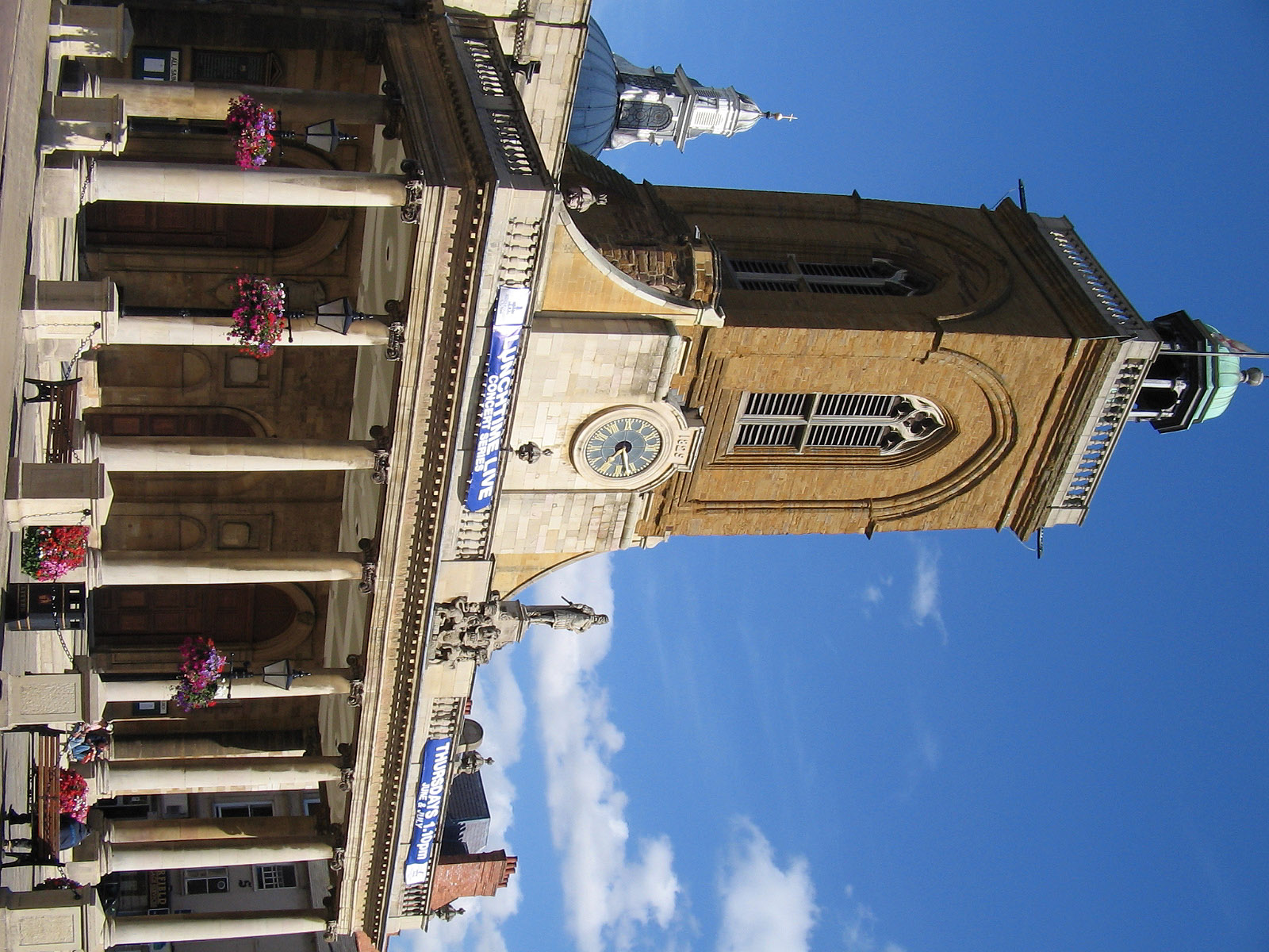



Geography and administration
Northamptonshire lies in the English Midlands and borders a number of neighbouring counties. Starting roughly clockwise, these include Warwickshire, Leicestershire, Rutland, Cambridgeshire, Bedfordshire, Buckinghamshire (including the Borough of Milton Keynes), Oxfordshire and Lincolnshire. One well-noted curiosity is that the county shares an extremely short boundary — only around 19 metres — with Lincolnshire in the north-east.
Main towns and settlements
The population of the county is concentrated in a roughly central north–south corridor. Principal towns include:
- Northampton — the largest town; local figures have appeared in various population summaries and civic records including population reports.
- Corby — an important post-industrial town with regeneration efforts in recent decades.
- Wellingborough — a market town with historic trading links.
- Kettering — known for manufacturing and regional services.
- Daventry — situated towards the west of the county with a mix of industry and rural hinterland.
History and character
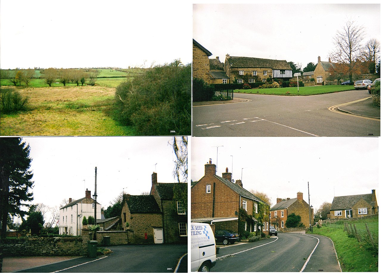
Northamptonshire's landscape bears evidence of a long past: medieval parish churches, country houses, and market towns that grew around agriculture and local crafts. The county developed notable industries, including shoemaking and leatherworking centred on Northampton, which became well-known through the 19th and 20th centuries. Many large estates and manor houses reflect the area's historic role as a seat for landed gentry.
Economy, transport and modern governance
Today the county combines rural agriculture, light manufacturing, distribution and service industries. Major road routes and rail lines cross Northamptonshire, linking it with London and the Midlands and making it a commuter and logistics hub. In recent years local government arrangements have been restructured: the historic two-tier system has been replaced by new unitary arrangements to streamline services and planning across the area.
Landmarks, leisure and notable points
Northamptonshire offers a mix of cultural and sporting attractions. Historic houses and church spires are complemented by modern venues. The county contains well-known estates and event sites, and areas of natural interest. A local feature mentioned in regional descriptions is Cherwell Edge, near Banbury, an example of a cleared hill and valley landscape now used for recreation. The county's blend of town and country has led to its enduring reputation as a place of both grand houses and prominent church towers.
Further reading
For readers seeking official statistics, historical records or visitor information, local archives, county guides and civic websites provide detailed, regularly updated material about Northamptonshire's towns, transport links and cultural sites.
Questions and answers
Q: What is the population of Northamptonshire?
A: The population of Northamptonshire is 629,676 according to the 2001 census.
Q: What are some of the counties that border Northamptonshire?
A: Northamptonshire borders Warwickshire, Leicestershire, Rutland, Cambridgeshire, Peterborough, Bedfordshire, Buckinghamshire (including the Borough of Milton Keynes), Oxfordshire and Lincolnshire.
Q: What is the largest town in Northamptonshire?
A: The largest town in Northamptonshire is Northampton with a population of 194,122.
Q: Where is Cherwell Edge located?
A: Cherwell Edge is located near the River Cherwell north-west of Banbury in England.
Q: How long is the county boundary between Lincolnshire and England?
A: The county boundary between Lincolnshire and England is 19 metres long.
Q: What nickname has been given to Northamptonshire?
A: Northamptonshire has often been called "the county of squires and spires" due to its wide variety of historic buildings and country houses.
Q: What purpose does Cherwell Edge serve today?
A: Today Cherwell Edge serves as a golf club used by various local residents.
Related articles
Author
AlegsaOnline.com Northamptonshire: central English county of 'squires and spires' Leandro Alegsa
URL: https://en.alegsaonline.com/art/70986
Sources
- uk-golfguide.com : "UK Golfguide homepage"
- cherwelledgegolfclub.co.uk : "Cherwell Edge Golf Club homepage"