
North Uist: landscape, history, ecology and community of an Outer Hebridean island
Overview of North Uist (Uibhist a Tuath): its lochs, peatlands and machair; causeway links to nearby isles; wildlife, Gaelic culture, archaeology and conservation designations.
North Uist (Scottish Gaelic: Uibhist a Tuath) is an island and community (community information) in the Outer Hebrides (the Outer Hebrides) of Scotland (Scotland). The island forms part of the long chain of islands off the north-west coast of Great Britain and is often described in regional listings of island size and geography (island lists).
Image gallery
10 Images




Landscape and hydrology
North Uist covers about 117 square miles (around 303 km2) and is mostly low-lying except for some higher ground in the south-east. The surface is a complex patchwork of blanket bog, machair, dunes, peat hags and hundreds of freshwater and brackish lochs. More than half the island’s area is occupied by water in the form of scattered lochs, meres and tidal basins. The interplay of fresh and tidal water in some basins creates brackish lochs and unusual wetland habitats that support specialised plant and animal communities (habitats overview).
Loch Sgadabhagh is the largest loch by surface area on North Uist, while Loch Obisary contains a substantial volume of water. The island’s coastlines include sands and machair — low-lying fertile plains of shell-sand and grasses that host many wildflowers and breeding waders.
Connections and access
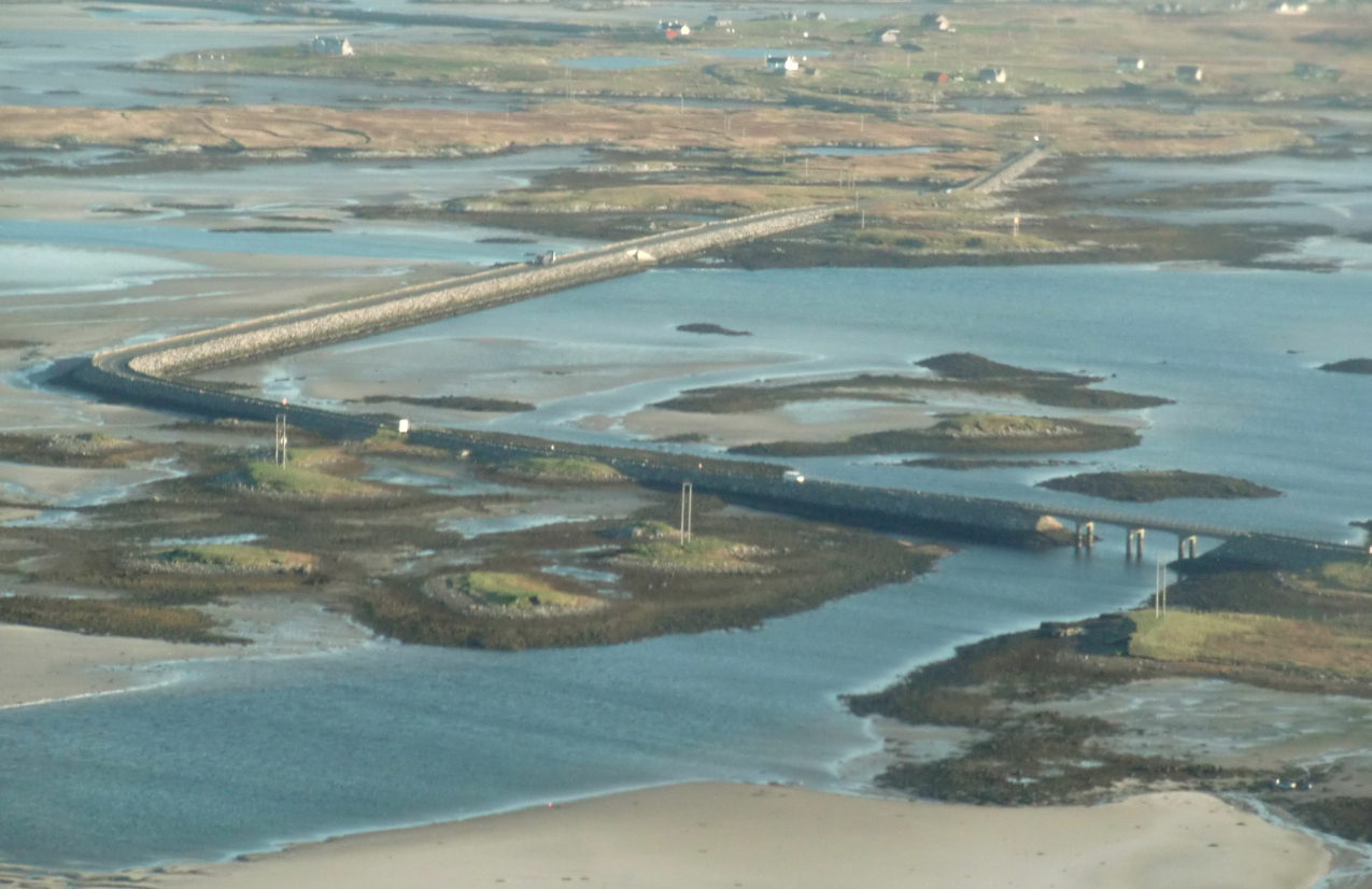
During the twentieth century a series of causeways were built that improved road connections between North Uist and neighbouring islands. Causeways now link North Uist to Benbecula via Grimsay and to nearby islets such as Baleshare; local ferry and road services provide additional access (causeway and ferry information, Benbecula and adjacent isles). For travel to South Uist and wider routes see regional transport and visitor guides (South Uist).
People, history and culture
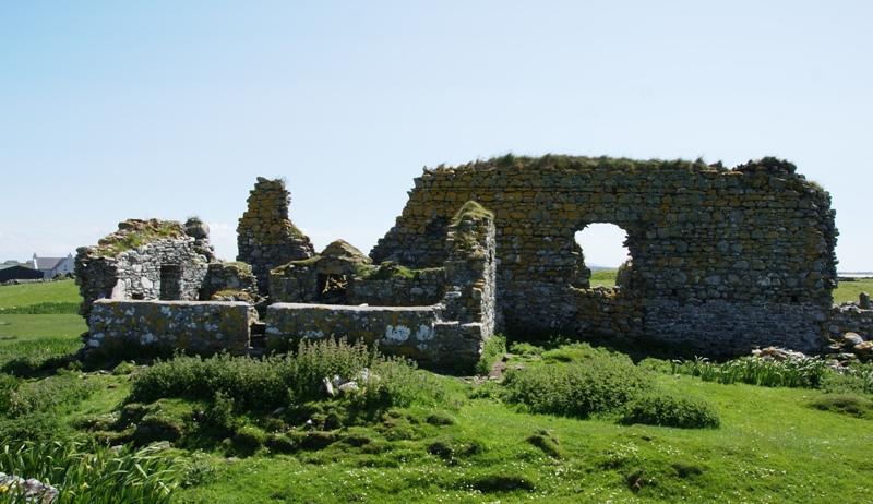
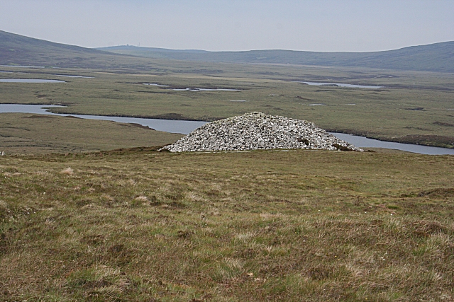
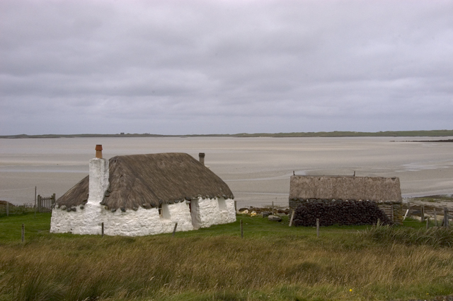
Archaeological evidence across the Hebrides indicates human presence since prehistoric times; standing stones, burial cairns and other traces demonstrate long-term settlement and changing land use. In more recent centuries the island’s population lived largely by crofting, small-scale fishing and peat cutting for fuel. Gaelic language and culture remain important to community life and place names, and local archives and social projects document the island’s traditions and social history (Scottish cultural resources, community pages).
Wildlife and habitats
North Uist supports a rich assemblage of wildlife. The machair supports breeding populations of waders and a diverse range of wildflowers; brackish and freshwater lochs host aquatic plants, invertebrates and fish adapted to variable salinity. The blanket bogs and peatlands are important carbon stores and sustain specialised mosses and heathers. Several bird species associated with Atlantic wetlands and machair grasslands breed on the island, and conservation bodies monitor populations and habitat condition to reconcile traditional land uses with biodiversity needs (peatland conservation, bog and peat descriptions).
Conservation and designation
The northern part of North Uist lies within the South Lewis, Harris and North Uist National Scenic Area, one of Scotland’s nationally designated landscapes recognised for scenic and ecological value (National Scenic Area details). Parts of the island are subject to additional nature conservation measures, with local and national organisations working on habitat management, species monitoring and sustainable crofting practices (habitats and conservation).
Practical information for visitors
- Landscape: expect extensive lochs, machair and peatland with varied birdlife; walk with care on peat slopes and near loch edges (loch and site information).
- Transport: road causeways and local ferries link the Uists; check local timetables and seasonal services (travel details, regional transport).
- Community and services: local community councils and visitor centres provide orientation, maps and guidance (community links, place-name resources).
- Further reading: regional listings and island guides give comparative context for North Uist (island rankings, neighbouring South Uist).
North Uist remains valued for its living Gaelic culture, varied coastal and freshwater habitats, and quiet landscapes. Visitors are encouraged to follow local advice to protect fragile machair and peatland habitats while enjoying wildlife, archaeological sites and the island community (Scottish visitor guidance).
Questions and answers
Q: Where is North Uist located?\n
A: North Uist is located in the Outer Hebrides of Scotland.
Q: How large is North Uist compared to other Scottish islands?\n
A: North Uist is the tenth largest Scottish island and the thirteenth largest island surrounding Great Britain.
Q: What is the area of North Uist?\n
A: The area of North Uist is 117 square miles (303 km2), slightly smaller than South Uist.
Q: What is the terrain like on North Uist?\n
A: With the exception of the south east, the island is very flat, and covered with a patchwork of peat bogs, low hills, and lochs, with more than half the land being covered by water.
Q: What makes the habitats on North Uist complex and unusual? \n
A: Some of the lochs contain a mixture of fresh and tidal salt water, giving rise to some complex and unusual habitats.
Q: What is the largest loch by area on North Uist?\n
A: The largest loch by area on North Uist is Loch Sgadabhagh.
Q: Is the northern part of North Uist part of a National Scenic Area?\n
A: Yes, the northern part of North Uist is part of the South Lewis, Harris and North Uist National Scenic Area, one of 40 in Scotland.
Related articles
Author
AlegsaOnline.com North Uist: landscape, history, ecology and community of an Outer Hebridean island Leandro Alegsa
URL: https://en.alegsaonline.com/art/70956
Sources
- ordnancesurvey.co.uk : Get-a-map
- isle-of-man.com : "The Chronicles of Mann vol 22"
- lexicon.ff.cuni.cz : "A Concise Dictionary of Old Icelandic"
- nls.uk : "Lochs of North Uist"
- snh.gov.uk : "National Scenic Areas"