
Atlas: collections of maps and mathematical charts
An atlas is an organized collection of maps or chart systems, in print or digital form, used for geographic reference, thematic analysis, navigation, education and mathematical study of manifolds.
Overview
An atlas is an organized compilation of cartographic products that present spatial information. Traditional atlases gather maps showing coastlines, elevations and political limits, while modern packages may be offered in print or as interactive multimedia applications. Atlases commonly present geographic features, transportation networks and thematic datasets.
Image gallery
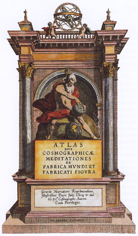
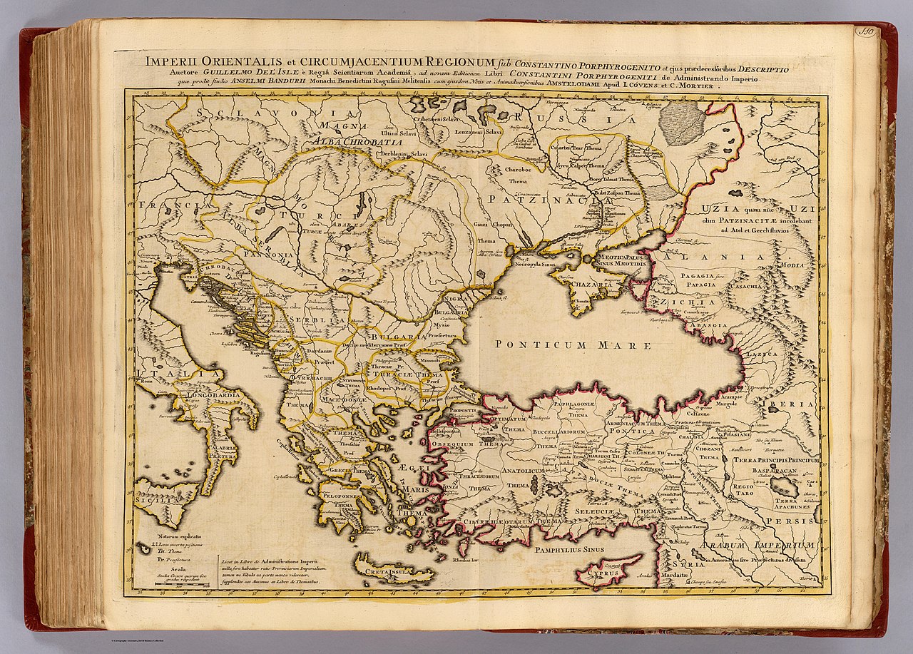
7 Images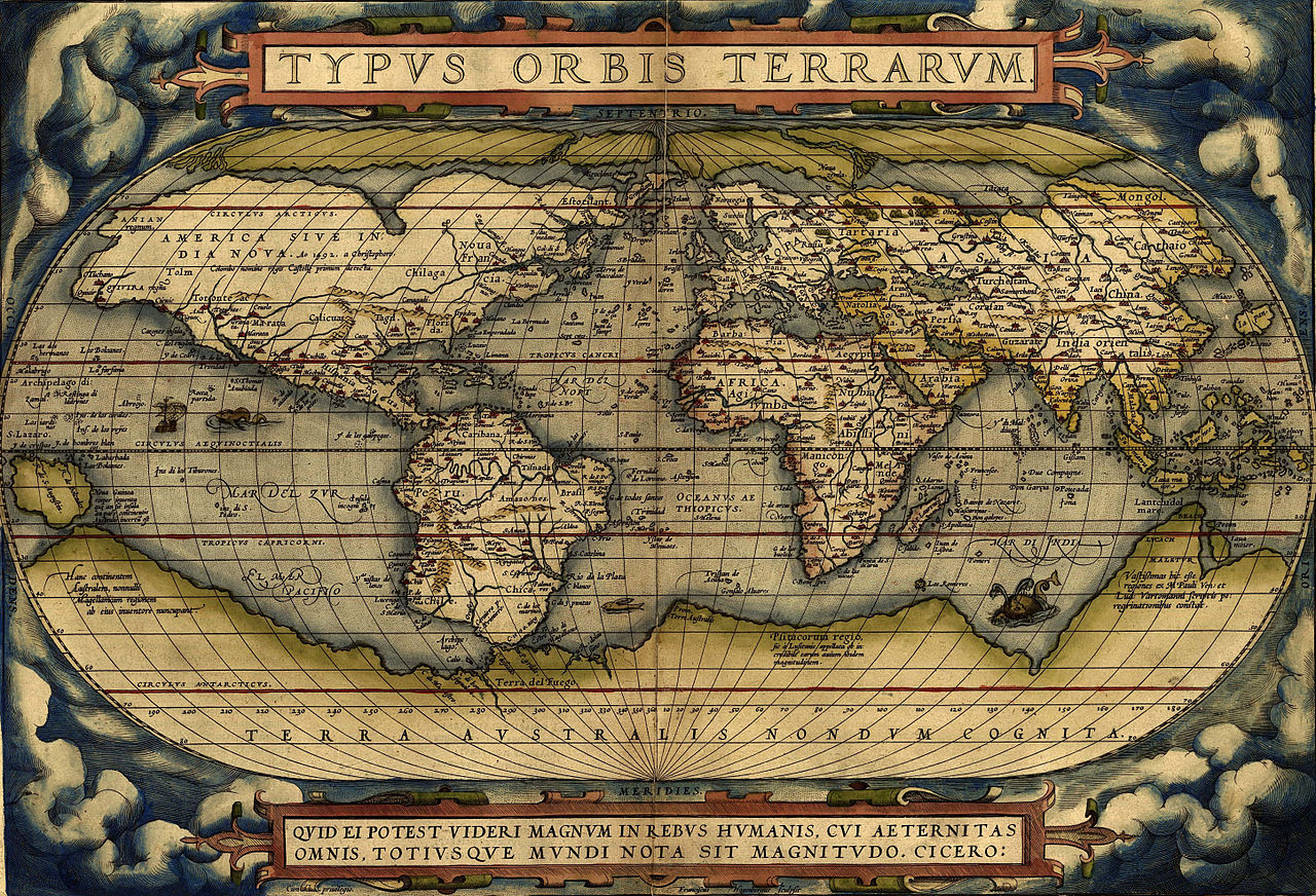




Typical contents and forms
Most atlases include a set of maps plus supporting material such as legends, scale bars, indexes and explanatory notes. Common varieties include:
- General reference atlases (world, national, regional)
- Thematic atlases focused on topics like climate, population or economy
- Historical atlases showing change over time
- Digital and interactive atlases that integrate data layers and search
History and development
The concept of assembling maps into a single volume dates back centuries. Printed book atlases became prominent in the early modern period as mapmaking and printing advanced. Over time the atlas evolved from engraved plates to color print and now to georeferenced digital collections and web map services.
Uses and examples
Atlases serve navigation, education, planning and research. Urban planners consult atlases for transport and land use; epidemiologists use mapped data to track outbreaks; economists and demographers rely on atlas tables and maps for social and economic statistics. School atlases remain standard teaching aids.
Mathematical atlases
In mathematics an atlas is a different notion: a collection of coordinate charts that together cover a topological manifold. Each chart maps part of the manifold to a Euclidean region and the overlap rules (transition maps) determine smooth or analytic structure used in geometry and theoretical physics.
Distinguishing features and notable facts
Unlike loose map collections, an atlas is curated for coherence: consistent projection choices, scales and index systems. Modern atlases emphasize data layering, interactivity and the ability to combine geographic context with thematic statistics. Many atlases now blend traditional cartography with GIS-derived analyses to support decision making and public information.
For more specialized presentations see maps for navigation, thematic map collections and interactive online atlases that update with new data and user queries.
Questions and answers
Q: What is an atlas?
A: An atlas is a collection of maps or manifolds.
Q: In what format is an atlas traditionally bound?
A: An atlas is traditionally bound into book form.
Q: What other formats can an atlas be found in?
A: An atlas can also be found in multimedia formats.
Q: What type of features may an atlas show?
A: An atlas may show geographic features and political boundaries.
Q: What other types of statistics are often shown in an atlas?
A: Social, religious, and economic statistics are often shown in an atlas.
Q: What is the purpose of an atlas?
A: The purpose of an atlas is to provide an organized and detailed representation of a specific area, region or the world.
Q: Can an atlas be used for educational purposes?
A: Yes, an atlas can be used for educational purposes, such as studying geography and history.
Related articles
Author
AlegsaOnline.com Atlas: collections of maps and mathematical charts Leandro Alegsa
URL: https://en.alegsaonline.com/art/7019