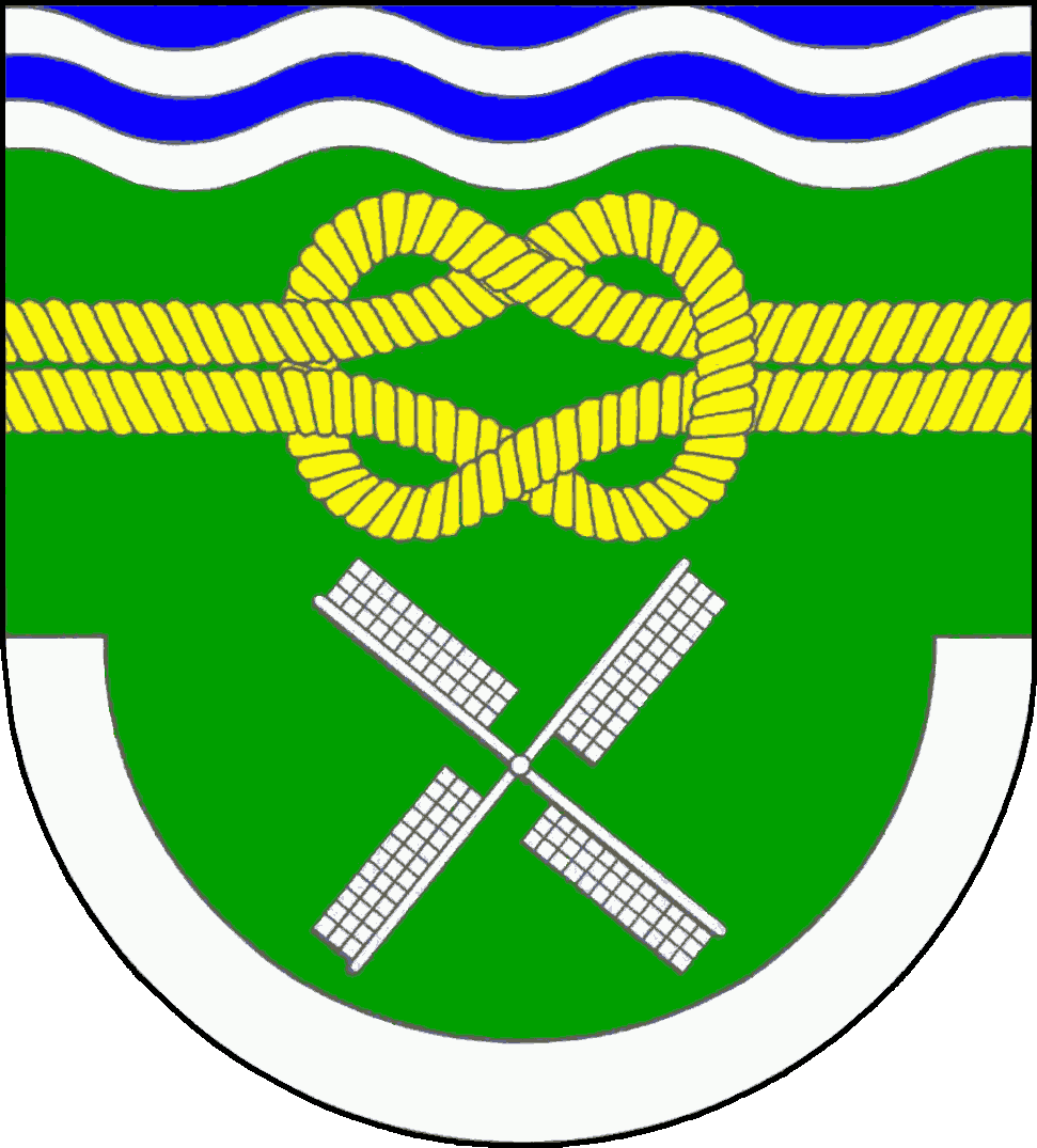
Neuendorf-Sachsenbande
Small municipality in the Wilstermarsch marsh of Steinburg, Schleswig‑Holstein, notable for containing Germany’s lowest point at about 3.54 m below sea level.
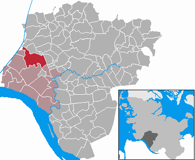
Neuendorf-Sachsenbande is a small rural municipality located in the Wilstermarsch marshland of the Steinburg district. It lies in the northern German state of Schleswig-Holstein and is part of the federal republic of Germany. The community is best known for being the location of the country’s lowest point, which has influenced local land management and identity.
Image gallery
4 Images

Geography and basic facts
The municipality occupies low-lying reclaimed marsh that is characteristic of parts of the North German Plain. Key figures commonly cited for Neuendorf-Sachsenbande include:
- Area: 19.31 km² (about 12.0 miles).
- Population: recorded as 493 inhabitants on 31 December 2006; local totals vary slowly in small rural communities.
- Lowest point of Germany: approximately −3.54 m (−11.614 ft) below standard sea level.
Landscape, drainage and land use
The Wilstermarsch is a classic example of coastal marsh converted to productive land by diking, drainage and water management. In and around Neuendorf-Sachsenbande those engineered systems—polders, ditches and pumping installations—control groundwater and protect parcels from flooding. The heavy, often peaty soils are suited to livestock farming (especially dairy), meadow cultivation and other forms of agriculture adapted to wetland conditions.
History and development
Settlement in the marshes has long depended on human efforts to reclaim and maintain fertile land. Villages such as Neuendorf-Sachsenbande developed as small farming communities tied to regional markets and administrative structures in Steinburg. Over time local roads, drainage works and cooperative institutions shaped a dispersed settlement pattern typical of northern marsh areas.
Importance and notable facts
While the municipality is modest in size and population, the presence of Germany's lowest natural point gives it a particular geographic distinction that attracts curiosity and occasional visitors. The low elevation highlights broader issues of water management, climate resilience and land use in northern Germany. Local identity often references the landscape: dikes, meadows and a close relationship to managed waters define everyday life.
Questions and answers
Q: What is Neuendorf-Sachsenbande?
A: Neuendorf-Sachsenbande is a municipality in Wilstermarsch, in the district of Steinburg, in Schleswig-Holstein, Germany.
Q: How big is Neuendorf-Sachsenbande?
A: The municipality has an area of 19.31 kilometres (12.0 miles).
Q: How many people lived in Neuendorf-Sachsenbande on December 31, 2006?
A: On December 31, 2006, 493 people lived in Neuendorf-Sachsenbande.
Q: What is special about Neuendorf-Sachsenbande's lowest point?
A: The town has the lowest point in Germany, which is 3.54 metres (11.614 feet) below sea level.
Q: What district is Neuendorf-Sachsenbande in?
A: Neuendorf-Sachsenbande is in the district of Steinburg.
Q: What region is Neuendorf-Sachsenbande in?
A: Neuendorf-Sachsenbande is in the region of Schleswig-Holstein.
Q: How far below sea level is Neuendorf-Sachsenbande's lowest point?
A: Neuendorf-Sachsenbande's lowest point is 3.54 metres (11.614 feet) below sea level.
Related articles
Author
AlegsaOnline.com Neuendorf-Sachsenbande Leandro Alegsa
URL: https://en.alegsaonline.com/art/69305