Aterno–Pescara: River of Abruzzo
Aterno–Pescara is the longest river in Italy's Abruzzo region, formed by the Aterno and Pescara courses and draining a 3,190 km² basin into the Adriatic at Pescara.
Overview
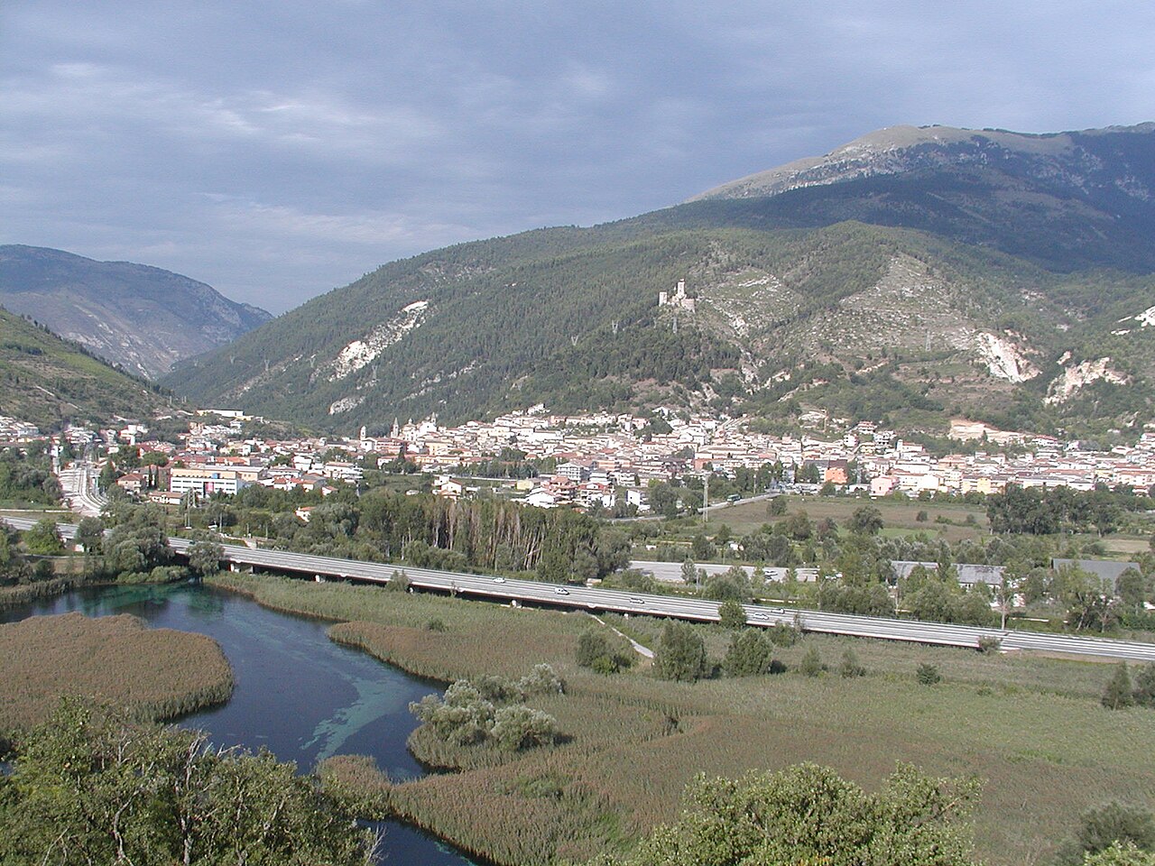
The Aterno–Pescara is the principal river system of Italy's Abruzzo region. It is widely recognized as the longest river wholly contained in Abruzzo and has the largest watershed among rivers that discharge into the Adriatic Sea south of the Reno. The combined catchment covers about 3,190 km², feeding a mixed landscape of mountains, valleys and coastal plain before emptying into the Adriatic at the city of Pescara. For precise positioning see the river's coordinates.
Image gallery
6 Images


Course and main features
The watercourse begins high in the central Apennines as the Aterno, rising on the slopes of the Monti della Laga, a subset of the Apennines. From its headwaters it flows mainly eastward through the province of L'Aquila and then across the province of Pescara, with a short stretch along the border of Chieti. In the comune of Popoli the Aterno is joined by the Pescara tributary; downstream of that confluence the combined stream is commonly called the Aterno–Pescara or simply the Pescara. The river finally reaches the Adriatic Sea at the coastal city of Pescara.
Physical characteristics
Key characteristics of the Aterno–Pescara basin include its mountainous headwaters, seasonal flow variation driven by winter snowfall and spring melt, and an alluvial plain near the coast. Its watershed is the largest among rivers flowing to the Adriatic south of the Reno, and supports a mix of natural habitats and agricultural land. Major towns and smaller settlements along its banks have historically relied on the river for water, irrigation and local industry.
History and human use
The river has long influenced settlement and transport patterns in Abruzzo. Towns grew on its terraces and floodplains where soils are fertile. Over centuries human interventions—such as levees, bridges and modest hydro-technical works—have modified parts of the channel to reduce flooding and to secure water supply. The river corridor also carries cultural and historical associations for local communities and figures in regional land-use planning.
Environmental importance and management
As a regional artery the Aterno–Pescara supports freshwater ecosystems and riparian vegetation while supplying water for agriculture, towns and industry. Management challenges include balancing water extraction with ecological needs, controlling pollution from urban and agricultural sources, and mitigating flood risk in lowland areas. Conservation and water-quality monitoring are carried out by regional authorities and local stakeholders to protect habitat and public use.
Notable facts and distinctions
- The river's basin area of approximately 3,190 km² makes it a dominant drainage system in Abruzzo and the most extensive Adriatic catchment to the south of the Reno.
- It is formed from mountain streams on the Monti della Laga and other Apennine slopes, illustrating the link between upland precipitation and coastal hydrology.
- The confluence at Popoli, where the Aterno meets the Pescara tributary, is a defining point in the river's identity.
Further geographic and administrative details about the river and its surroundings are available through regional maps and local sources: the river is an important feature of Abruzzo's administrative geography and figures in provincial documents for L'Aquila, Pescara and Chieti. For historic references and environmental studies consult specialist publications and local agencies for up-to-date data on flow, water quality and habitat status; some introductory resources can be found via online portals and regional guides linked here: river information, watershed data, and municipal pages for the city of Pescara.


Questions and answers
Q: What are the coordinates of Aterno-Pescara?
A: The coordinates of Aterno-Pescara are 42°28′10.87″N 14°13′46.62″E / 42.4696861°N 14.2296167°E / 42.4696861; 14.2296167.
Q: Where does the Aterno-Pescara river start?
A: The Aterno-Pescara river starts as Aterno on the Monti della Laga, a mountain range in the central Apennines.
Q: How large is the watershed of this river?
A: The watershed of this river is 3,190 km2 (1,230 sq mi).
Q: In which provinces does it flow through?
A: The Aterno-Pescara flows mainly through the provinces of L'Aquila and Pescara; it also flows through Chieti but only for a short distance.
Q: Where does it join with another river?
A: In the comune of Popoli, the river is joined by the Pescara River.
Q: Where does it empty into?
A: It empties into the Adriatic Sea in the city of Pescara.
Related articles
Author
AlegsaOnline.com Aterno–Pescara: River of Abruzzo Leandro Alegsa
URL: https://en.alegsaonline.com/art/6911
Sources
- treccani.it : "Aterno"