
Atauro Island (Timor-Leste): geography, communities, and natural features
Atauro is an island of Timor-Leste in the Ombai Strait, about 140 km² with ~9,300 people (2015). Known for Mount Manucoco, rich coral reefs, small villages, subsistence fishing and growing ecotourism.
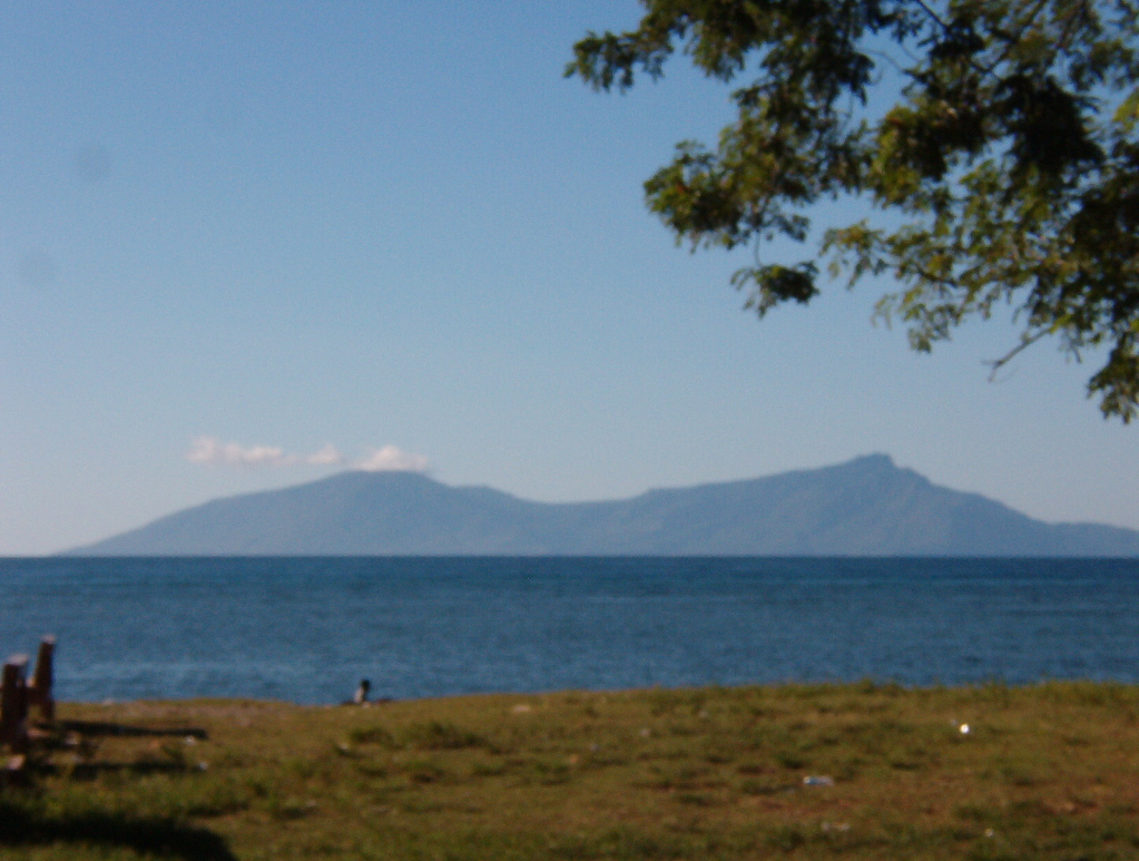
Atauro is a volcanic island that forms part of the Republic of Timor-Leste (East Timor). It lies in the Ombai Strait, north of the main island of Timor. The island is roughly 25 km long and 9 km wide, covering about 140.1 km², and had a recorded population of 9,274 at the 2015 census. The nearest foreign land is the Indonesian island of Liran, about 12 km to the northeast (Liran).
Image gallery
6 Images

Landscape and natural environment
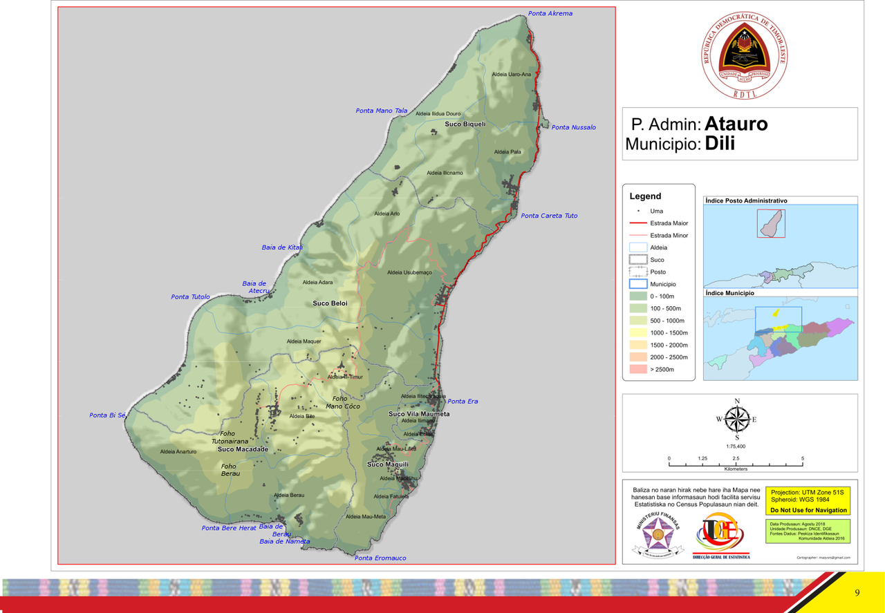
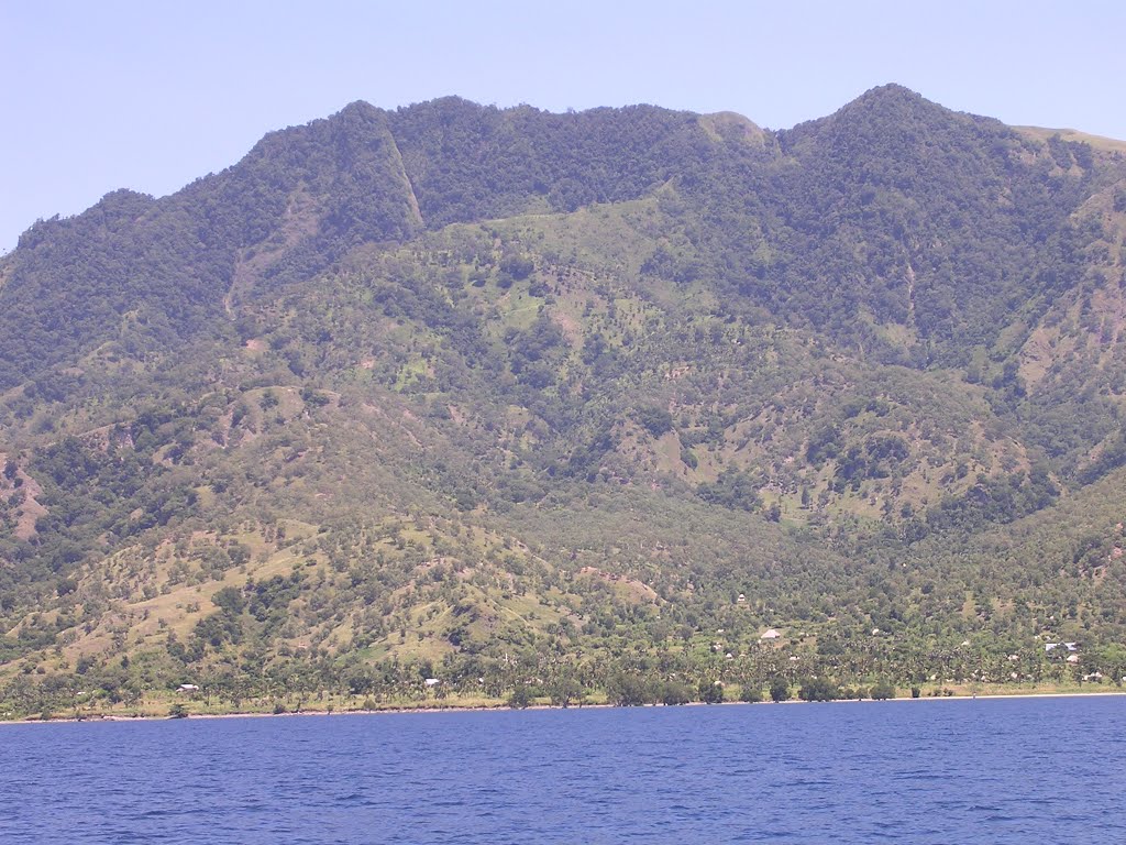
Atauro rises steeply from sea level to a central volcanic ridge. The island’s highest point is Mount Manucoco, which reaches close to 999 m above sea level and dominates the interior landscape (Mount Manucoco). Vegetation ranges from coastal scrub and mangroves in sheltered bays to pockets of dry forest and grassland on higher slopes. Narrow strips of cultivable land and terraces occur where communities practice small-scale agriculture.
Marine life and conservation
Surrounding reefs and underwater slopes support rich coral and fish assemblages, and Atauro is increasingly recognised for marine biodiversity and diving opportunities. Local and international researchers and conservation groups have worked with communities on reef monitoring, fisheries management, and initiatives to support sustainable tourism and marine protection. These efforts reflect a growing emphasis on balancing livelihoods with the conservation of habitats important to fishing and tourism.
Communities and administration
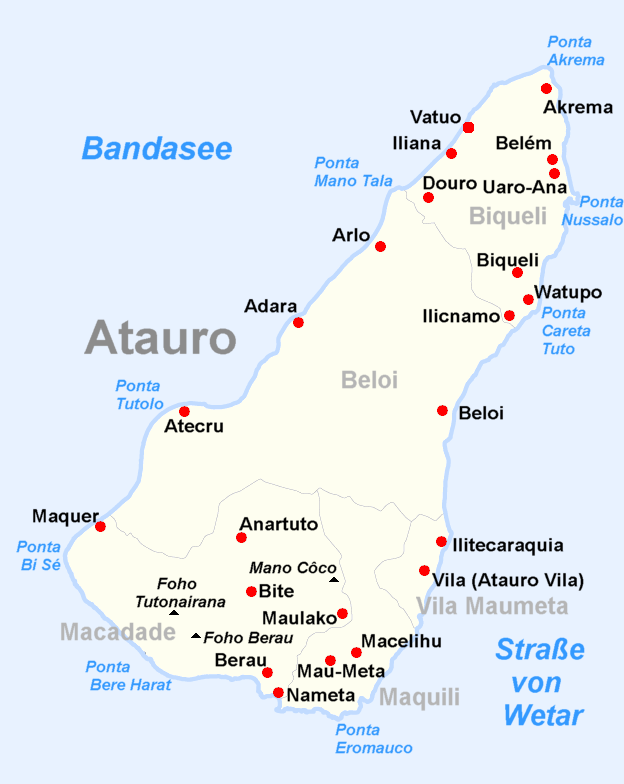
Administratively the island is part of Dili municipality and is divided into five sucos (village-level administrative areas), each centred on a village. The five sucos are:
- Biqueli
- Beloi
- Macadade (formerly Anartutu)
- Maquili
- Vila Maumeta
Local livelihoods are commonly based on coastal fishing, subsistence agriculture (including root crops and vegetables), and artisanal crafts. Community organisations and small enterprises have been developing to support sustainable income from ecotourism, guiding, and hospitality.
Access, tourism and services
Atauro is accessible by ferry from Dili and by small boat from nearby islands; schedules are subject to weather and seasonal demand. Accommodation and visitor services are expanding but remain limited compared with the national capital, so visitors are advised to plan ahead. Responsible tourism practices and respect for local customs are encouraged to reduce pressure on natural resources.
History, language and culture
Human settlement on Atauro predates modern national borders and shares cultural ties with the wider Timor region. Tetum is widely used alongside local languages; Portuguese and Indonesian have historical influence, and many residents also have knowledge of Bahasa Indonesia or English. Traditional ceremonies, boat-building and fishing techniques are elements of local cultural life.
Location and practical notes
Coordinates commonly cited for the island are approximately 8.240° S, 125.580° E; these values are useful when locating Atauro on charts or maps (map coordinates). Visitors and researchers should consult up-to-date travel information, respect any protected areas, and work with local communities when planning activities on and around the island.
Questions and answers
Q: Where is Atauro located?
A: Atauro is an island located in East Timor.
Q: What is the size of Atauro?
A: Atauro is about 25km long and 9km wide, with an area of about 140.1km2.
Q: How many people lived on Atauro according to the 2015 Census?
A: According to the 2015 Census, 9,274 people lived on Atauro.
Q: What is the highest point on Atauro?
A: Mount Manucoco, which is 999 meters above sea level, is the highest point on Atauro.
Q: How is Atauro administratively divided?
A: Atauro is administratively divided into five sucos, each surrounding a village: Biqueli, Beloi, Macadade (formerly Anartutu), Maquili, and Vila Maumeta.
Q: What is the nearest island to Atauro and how far away is it?
A: The nearest island to Atauro is the Indonesian island of Liran, which is 12km away to the northeast.
Q: What are the coordinates of Atauro?
A: The coordinates of Atauro are 08°14′24″S 125°34′48″E.
Related articles
Author
AlegsaOnline.com Atauro Island (Timor-Leste): geography, communities, and natural features Leandro Alegsa
URL: https://en.alegsaonline.com/art/6899