
Narayani Zone (Nepal)
Former administrative zone in south-central Nepal named for the Narayani River; included Terai lowlands, Chitwan National Park, Hetauda industrial center and diverse cultural groups.
Narayani Zone was one of the fourteen historical zones of Nepal, located in the central-southern part of the country and named after the Narayani River. The zone combined lowland Terai plains along the Indian border with lower hill ranges to the north.

Image gallery
3 Images

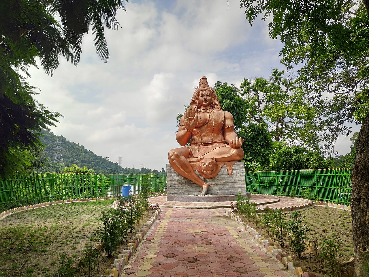
Geography and districts
Narayani occupied a corridor that linked hill and plain environments, giving it a mix of agricultural land, river valleys and forested foothills. It included several districts that served different roles within the zone, from market towns in the Terai to hill towns that functioned as administrative and industrial centers.
History and administration
The zone system was part of Nepal's administrative structure for several decades. Narayani took its name from the Narayani (Gandaki) River, which forms a major watershed in central Nepal. Under the 2015 constitution Nepal reorganized into provinces, and the territories that made up the former Narayani Zone were reassigned to the new provincial structure.
Economy, society and culture
The zone's economy combined irrigated agriculture in the Terai with forestry, local industry and service sectors in urban centers. Hetauda served as an important industrial and transport hub. The population was ethnically and linguistically diverse, including groups typical of Terai and hill regions; Hindu, Buddhist and indigenous traditions coexist in local culture.
Environment and tourism
One of Narayani's most internationally known features was Chitwan National Park, a protected area famous for wildlife and popular with ecotourists. Rivers and forests supported biodiversity and provided livelihoods based on fishing, timber and ecotourism activities.
Notable facts and references
- The zone name derives from the Narayani River; for the Nepali name see नारायणी अञ्चल.
- After administrative reform the former zone's districts now lie within newer provinces; see national context at Nepal.
Narayani remains a useful geographic and cultural reference for describing this part of Nepal despite the formal administrative changes. It illustrates the country’s ecological variety and the way river systems have shaped settlement, economy and identity.
Questions and answers
Q: How many zones does Nepal have?
A: Nepal has fourteen zones.
Q: Where is Narayani Zone located?
A: Narayani Zone is located in the central south of Nepal.
Q: What is Narayani named after?
A: Narayani is named after the Narayani River on the western border of the zone.
Q: What is the significance of Narayani River?
A: Narayani River is the reason why Narayani Zone got its name.
Q: Is Narayani Zone located in the central or northern part of Nepal?
A: Narayani Zone is located in the central part of Nepal.
Q: How is Narayani pronounced?
A: Narayani is pronounced as नारायणी अञ्चल (Nepali) or Narayani Anchal.
Q: What language is spoken in Narayani Zone?
A: Nepali is the official language spoken in Narayani Zone.
Related articles
Author
AlegsaOnline.com Narayani Zone (Nepal) Leandro Alegsa
URL: https://en.alegsaonline.com/art/68365
Sources
- visit-nepal.com : in website
- tools.wmflabs.org : 27°25′N 85°00′E / 27.417°N 85.000°E / 27.417; 85.000