
Nampula Province — geography, history, economy and notable sites
Nampula Province in northern Mozambique: geography, population, economy, history including Ilha de Moçambique (UNESCO), major landscapes, transport and cultural highlights.
Overview
Nampula is a province in the northern part of Mozambique. It is centred on the city of Nampula, which serves as the regional administrative and commercial hub. The province occupies a mix of coastal lowlands, river valleys and higher inland terrain and has one of the largest populations of any Mozambican province. For map reference see the province coordinates.
Image gallery
5 Images


Geography and natural features
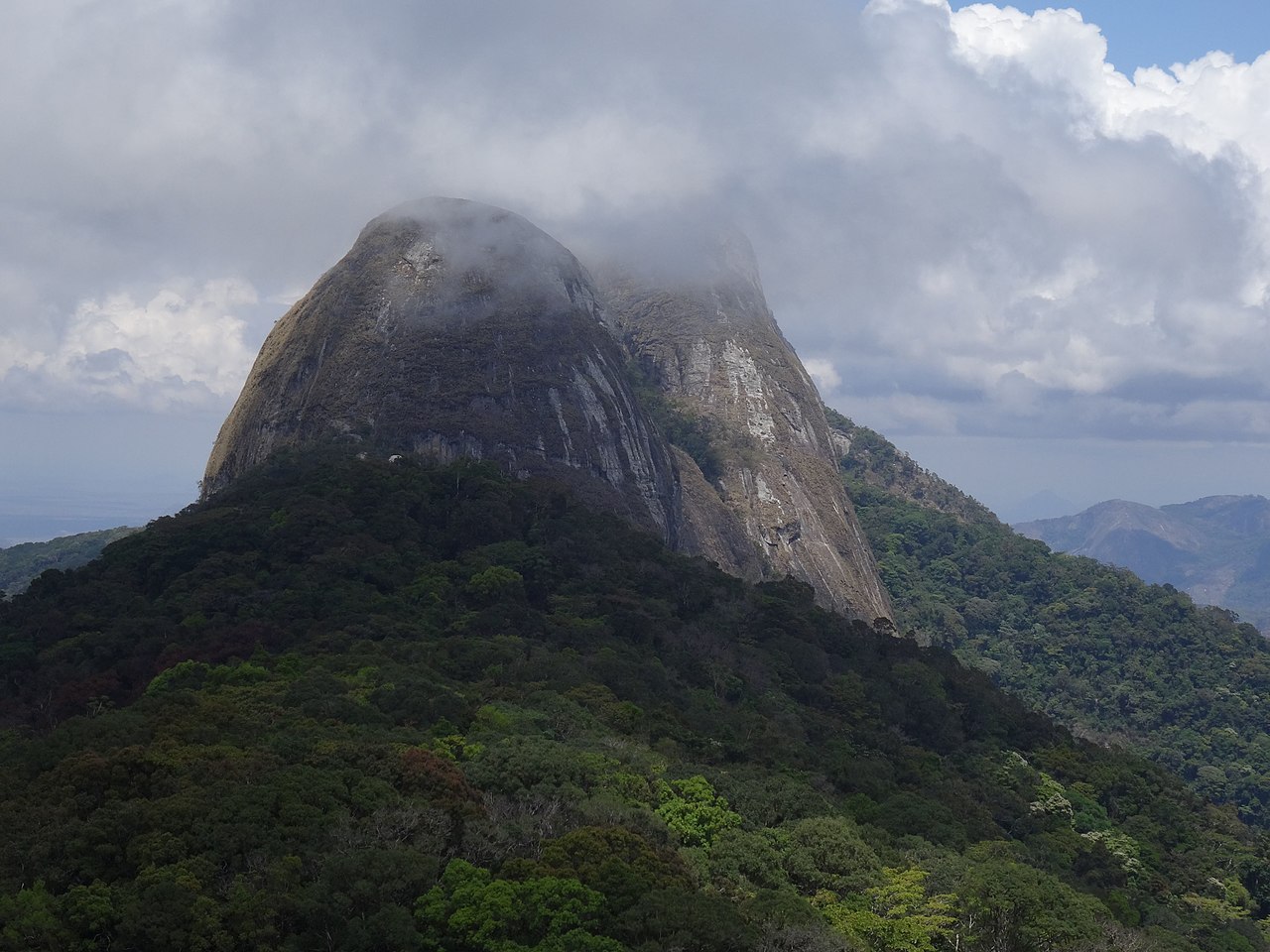
The northern boundary of the province is formed in part by the Lúrio River. The coastal zone includes important inlets and islands, while inland areas rise to a number of modest mountain massifs. Notable peaks include Mount Inago (about 1,804 metres) as well as Mount Ribaue, Mount Panda and Mount Nairucu. Soils and climates vary from humid coastal districts to drier plateaus, shaping diverse agricultural patterns.
History and cultural heritage
Nampula’s coastline has been a focus of long-distance trade and colonial activity. The island known as Ilha de Moçambique — located off the province’s coast — preserves an exceptional concentration of colonial architecture and fortifications and is listed as a UNESCO World Heritage Site. Ilha de Moçambique was an early Portuguese administrative centre and retains a layered heritage of African, Arabic and European influences that shaped the region.
Economy and society
Agriculture underpins much of the provincial economy: crops include cashew, cotton and subsistence staples, alongside small-scale fishing and trading in coastal communities. Nampula city functions as a market and transport node for goods and services in northern Mozambique. Local languages such as Makhuwa are widely spoken alongside Portuguese, and traditional cultural expressions remain important in rural areas.
Transport, towns and conservation
The province is connected by road, rail and regional air services; coastal ports and fishing harbours support trade and livelihoods. Important activities for conservation and tourism include visits to Ilha de Moçambique and exploration of inland landscapes and mountains. The variety of ecosystems and historical sites makes Nampula significant both economically and culturally within the country.
Notable distinctions
- Home to the UNESCO-listed Ilha de Moçambique and significant colonial-era monuments.
- Contains varied terrain from coastal islands to highland peaks such as Mount Inago.
- Serves as an important demographic and commercial centre in northern Mozambique.
Questions and answers
Q: What are the coordinates of Nampula?
A: The coordinates of Nampula are 15°15′S 39°30′E.
Q: Where is Nampula located?
A: Nampula is a province located in northern Mozambique.
Q: What is the capital city of Nampula?
A: The capital city of Nampula is also named Nampula.
Q: What is Ilha de Moçambique?
A: Ilha de Moçambique is an island that is part of the Nampula province in Mozambique. It is also a UNESCO World Heritage Site.
Q: What forms the northern border of the Nampula province?
A: The Lúrio River forms the northern border of the Nampula province.
Q: What are some of the mountains in the Nampula province?
A: Some of the mountains in the Nampula province include Mount Inago (1804 meters), Mount Ribaue, Mount Panda, and Mount Nairucu.
Q: What is the elevation of Mount Inago?
A: The elevation of Mount Inago is 1804 meters.
Related articles
Author
AlegsaOnline.com Nampula Province — geography, history, economy and notable sites Leandro Alegsa
URL: https://en.alegsaonline.com/art/68206
Sources
- books.google.com : Guide to Mozambique
- books.google.com : Africa Annual