Namcha Barwa: prominent peak in the eastern Himalayas
Namcha Barwa is a 7,782 m mountain in eastern Tibet, notable for its dramatic gorge, remote location, and climbing history; it was the highest unclimbed peak until 1992.
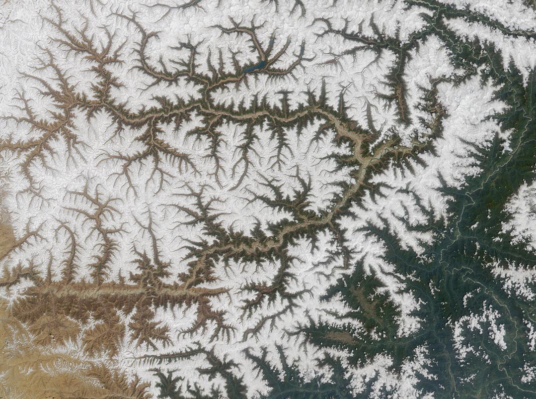
Namcha Barwa rises to 7,782 metres above sea level and sits near the eastern end of the great Himalayan arc. The peak forms a striking, steep-sided massif that overlooks the deep canyon carved by the Yarlung Tsangpo (Brahmaputra) where the river makes its famous great bend. Namcha Barwa is geographically part of the Himalayas, within the larger mountain range, and it is located on the Tibetan side of the frontier often referred to as Tibet. By elevation it is frequently cited among the world’s highest summits, commonly ranked as the 28th highest.
Image gallery
2 Images
Geography and physical characteristics
The mountain presents extremely steep relief: from its base in the river valley to the summit the vertical rise is dramatic, contributing to exceptionally rugged terrain and intense local relief. Surrounding Namcha Barwa are deep gorges, precipitous ridges and glaciers that descend into the Yarlung Tsangpo valley. Its position marks the eastern limit of the highest stretches of the Himalaya, where the chain bends and transitions into lesser ranges and plateau. The climatic conditions are influenced by monsoonal moisture, creating heavy snow and avalanche hazards at higher elevations and dense vegetation at lower slopes.
Climbing history
The mountain long resisted exploration because of its remoteness, unstable weather, and complex approach routes. During the late 20th century Namcha Barwa became well known among mountaineers as one of the highest unclimbed peaks; from 1976 until 1992 it held that distinction. A joint expedition reached the summit in 1992 — reported members include Kazuo Yamamoto, Hiroshi Aota and Atsushi Yamamoto together with Jiabu, Chirenduoji and Biamba Zaxi — marking the first confirmed ascent. Achieving the summit required technical climbing on steep ice and mixed terrain, careful route-finding, and logistics in an area with limited access.
Because of political restrictions in parts of Tibet and the logistical complexity of getting to the base of the mountain, Namcha Barwa has seen relatively few ascents compared with more accessible peaks. Climbs are typically undertaken by small international teams with local support, and expeditions must plan for long approaches, high objective hazards, and rapidly changing conditions.
Importance and notable facts
Namcha Barwa is significant beyond mountaineering. Its position above the great bend of the Yarlung Tsangpo makes it a focus for geological and hydrological study: the great bend itself is a key feature in understanding the uplift and erosional history of the eastern Himalaya. The steep gradients and varied climates around the mountain support rich biodiversity and a range of ecosystems from riverine forests to alpine meadows. Culturally, the peak and surrounding valleys are part of local Tibetan landscapes and have featured in regional maps and travel accounts since they were first noted by outside explorers.
- Elevation: 7,782 m.
- Location: eastern Himalaya, Tibet region (Tibet).
- Ranking: commonly listed as the 28th highest mountain worldwide.
- Notable: highest unclimbed peak from 1976 until first ascent in 1992.
- Related topics: regional geology, the Yarlung Tsangpo great bend, Himalayan ecology (Himalayas).
For readers seeking further overview or technical climbing information, general summaries and expedition reports can be found through specialized mountaineering resources and regional studies; introductory material and maps often label the mountain as Namcha Barwa and place it within the broader range of the Himalayas.
Related articles
Author
AlegsaOnline.com Namcha Barwa: prominent peak in the eastern Himalayas Leandro Alegsa
URL: https://en.alegsaonline.com/art/68181
Sources
- peakbagger.com : "Namcha Barwa, China"
- summitpost.org : "Namcha Barwa (7782m) : Photos, Diagrams & Topos"
- blog.theclymb.com : "The World's Great Unclimbed Alpine Projects"
- himalayanclub.org : "The First Ascent of Namcha Barwa, the Highest Unclimbed Peak in the World"
- jac.or.jp : "Japan China Joint Expedition to Namcha Barwa, 1992"
- commons.wikimedia.org : Namcha Barwa
- wikidata.org : wikidata.org/wiki/Q1050238
- d-nb.info : 7742360-4
- id.loc.gov : sh96009764
- viaf.org : 247828938
- worldcat.org : 247828938