
Nagapattinam district — coastal district of Tamil Nadu, India
Nagapattinam is a coastal district in Tamil Nadu, India, created in 1991 from Thanjavur. Noted for its discontinuous territory, coastal economy and cultural sites, it faced major 2004 tsunami damage and receives BRGF support.
Overview
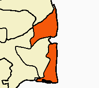
Nagapattinam district lies on the southeastern coast of Tamil Nadu in India. Carved out of Thanjavur district on 19 October 1991, it is a low-lying coastal region whose economy and culture are closely tied to the Bay of Bengal. The district is often noted for its unusual administrative geography: parts of it are separated by intervening territory, a feature that distinguishes it from most other Indian districts.
Image gallery
8 Images



Geography and environment
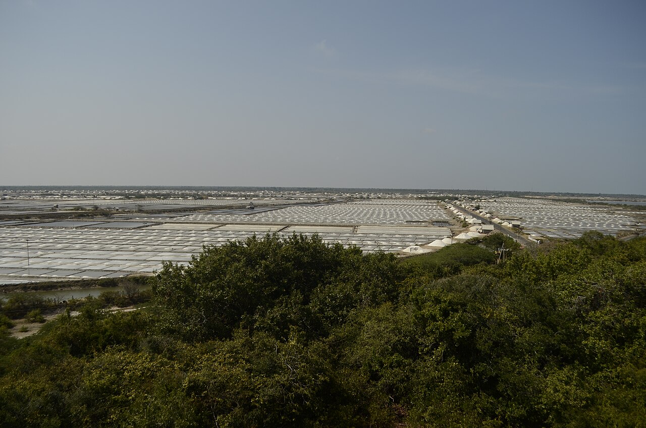
Nagapattinam has a long shoreline with estuaries, backwaters and agricultural plains inland. The coastal belt supports fishing harbors, small ports and salt pans, while hinterlands are used for rice cultivation, coconut groves and other tropical crops. The district's coastal position makes it vulnerable to cyclones, storm surges and coastal erosion. It was one of the areas severely affected by the 2004 Indian Ocean tsunami, which caused extensive damage to infrastructure, livelihoods and settlements along the shore.
History and administration
The modern administrative unit of Nagapattinam was established in 1991 when areas were separated from the larger Thanjavur district. The district administration is responsible for local development, disaster response and rural governance through panchayats. In 2006 the Ministry of Panchayati Raj identified Nagapattinam among 250 districts across the country classified as relatively backward; the district has received targeted funding under the Backward Regions Grant Fund Programme (BRGF) to support infrastructure and development projects.
Economy and livelihoods
The local economy combines agriculture, fisheries and small-scale industry. Rice farming on irrigated plains and coconut cultivation are important inland activities. Along the coast, fishing and allied trades sustain many communities; small harbors and fish-processing units are part of the economic landscape. After the 2004 tsunami, reconstruction programmes focused on rebuilding housing, public facilities and coastal protective measures, and on restoring livelihoods in fishing and farming communities.
Demographics and social indicators
According to the 2011 census, Nagapattinam district had a population of 1,616,450. The sex ratio was 1,025 females per 1,000 males, which is above the national average. Like many coastal districts, Nagapattinam exhibits a mix of rural settlements and small towns, with varying access to health, education and sanitation. Development programmes, including BRGF support, have aimed to reduce disparities and improve basic services across the district.
Culture, religion and notable places
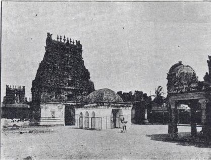
Nagapattinam is rich in religious heritage and temple architecture. The town of Velankanni, within the district, is a notable pilgrimage centre with the Basilica of Our Lady of Good Health attracting visitors from across India. Hindu temples, local festivals and coastal cultural practices—especially those associated with fishing communities—are important elements of regional identity. Visitors and researchers often note the blend of maritime traditions with agrarian life that shapes social customs.
Key facts and challenges
- Established as a separate district in October 1991.
- Coastal economy based on fishing, rice and coconut cultivation.
- Identified in 2006 as one of India’s districts receiving BRGF development funds.
- Highly vulnerable to coastal hazards; severely impacted by the 2004 tsunami and subject to ongoing disaster preparedness efforts.
Nagapattinam's combination of coastal resources, cultural significance and development challenges makes it a focal point for programmes addressing disaster resilience, rural development and coastal livelihoods. For more detailed administrative or statistical information, consult official state and district sources or development programme reports.
Questions and answers
Q: Where is Nagapattinam district located?
A: Nagapattinam district is located in Tamil Nadu, India.
Q: When was Nagapattinam district created?
A: Nagapattinam district was created on October 19, 1991, by dividing the Thanjavur district.
Q: How many parts is Nagapattinam district divided into?
A: Nagapattinam district is the only district in India that is discontinuous or separated into two parts.
Q: Is Nagapattinam district a backward district?
A: Yes, according to the Ministry of Panchayati Raj, Nagapattinam district is one of the country's 250 most backward districts out of a total of 640 Indian districts.
Q: Does Nagapattinam district receive funds from the Backward Regions Grant Fund Programme?
A: Yes, Nagapattinam district is one of the six districts in Tamil Nadu that currently receives funds from the Backward Regions Grant Fund Programme (BRGF).
Q: What is the population of Nagapattinam district according to the 2011 census?
A: According to the 2011 census, Nagapattinam district had a population of 1,616,450 with a sex-ratio of 1,025 females for every 1,000 males, much above the national average of 929.
Q: Which district was divided to create Nagapattinam district?
A: Nagapattinam district was created by dividing the Thanjavur district on October 19, 1991.
Related articles
Author
AlegsaOnline.com Nagapattinam district — coastal district of Tamil Nadu, India Leandro Alegsa
URL: https://en.alegsaonline.com/art/68091