Mykolaiv (Mykolayiv) — Ukrainian shipbuilding and river port city
Mykolaiv is a major southern Ukrainian city and river port on the Southern Buh estuary, historically founded as a naval shipyard and known for shipbuilding, heavy industry, ports and regional culture.
Overview
Mykolaiv, written Миколаїв in Ukrainian and also rendered as Mykolayiv, Nikolaev or Nikolayev, with the Polish form Mikołajów, is an important urban center in southern Ukraine. It stands where the Southern Buh meets the Inhul River, forming an estuarine approach to the Black Sea. The city has long functioned as both an inland seaport and a shipbuilding centre; the 2001 Ukrainian census recorded a population of about 514,000, and it remains one of the larger cities in the region.
Image gallery
10 Images


Geography and climate
Located roughly at 46°58′N 32°00′E, Mykolaiv occupies low-lying river and estuary lands with quays, docks and industrial sites arranged along the waterways. The estuary and river channels give sheltered access for vessels and influenced the siting of shipyards and wharves. The climate is temperate continental with relatively mild winters and warm summers, shaped by proximity to the Black Sea coastline and maritime air masses.
History
The modern city developed in the late 18th century around a state shipyard created to serve the Black Sea fleet; shipbuilding has defined its urban form and economy since that time. Over the 19th and 20th centuries Mykolaiv expanded with merchant docks, heavy engineering works and housing for shipwrights and metallurgists. During the Soviet era the city became an industrial and naval construction hub, which left a legacy of large yards, technical institutes and workers’ neighbourhoods.
Economy and industry
Shipbuilding and repair remain central to Mykolaiv’s economy, alongside machine-building, metalworking, port operations and logistics. The port handles bulk cargoes and supports regional river transport, while associated firms provide components and services for maritime and inland shipping. Economic fortunes have reflected wider regional trends and investment in maritime infrastructure.
Transport
Mykolaiv is connected by river, road and rail links that serve cargo and passenger movements to nearby ports and inland destinations. Its river channels provide navigable access toward the Black Sea and the wider estuarine system, including local waterways described in sources on the region's estuaries. The combination of quays, shipyards and rail yards makes the city a logistic node for southern Ukraine.
Demography and administration
The city has a diverse urban population shaped by industrial employment, education institutions and administrative functions. It serves as a regional centre for governance, commerce and services. For general reference the city is often categorized among the country’s major cities given its population, industrial base and transport role.
Culture, education and landmarks
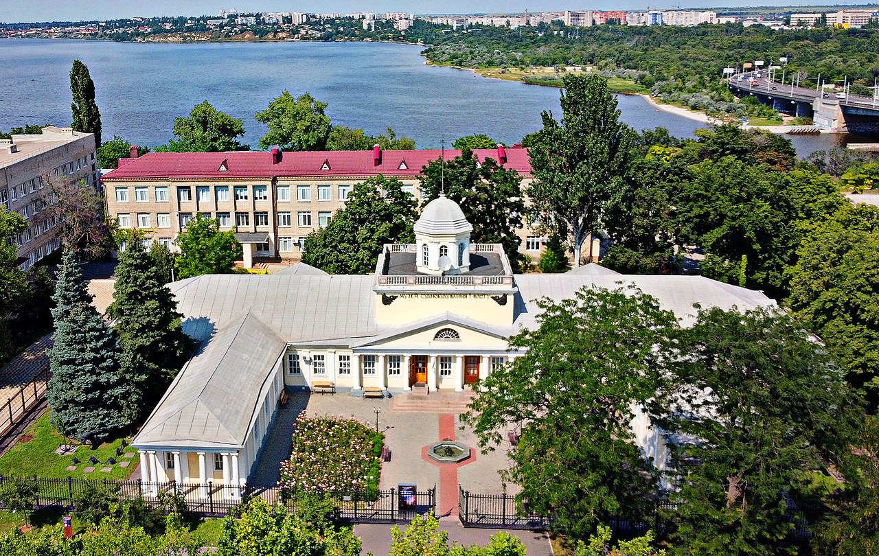
Mykolaiv hosts theatres, museums and technical universities that reflect its maritime and engineering heritage. Urban landmarks include historic shipyard precincts, riverfront promenades and public parks along the estuary. Architectural character mixes 19th-century civic buildings, Soviet-era industrial complexes and newer developments, while cultural life is informed by seafaring and industrial traditions.
Contemporary significance and notes
The city's shipyards and port infrastructure continue to be strategically and economically significant for the region. Recent decades have seen changes in industry, investment and administrative arrangements, and the city’s developments are often discussed in broader materials about southern Ukrainian urban and maritime areas. For concise entries and local overviews consult general resources on a major city and studies of the region's estuarine geography (estuaries) as well as regional guides to southern Ukraine and the Black Sea littoral. Additional language and historical forms are noted in Ukrainian (Миколаїв) and Polish (Mikołajów).
- Key sectors: shipbuilding and repair, heavy engineering, port operations
- Location: Southern Buh estuary near confluence with the Inhul
- Nearest major body of water: Black Sea
Economy
Mykolayiv is an industrial center with mechanical engineering for agriculture and construction, light and food industry, and a nuclear power plant near the city. The city was the most important shipbuilding location in the Soviet Union and today, as the maritime center of Ukraine, has three large shipyards, a port on the bow and a naval base on the Inhul, as well as a shipbuilding academy. In winter, the harbour and naval base can be kept clear by the use of icebreakers.
The city is connected to the railway network only to the north and northeast. Just under 10 km northwest of the city center is Mykolaiv Airport (IATA airport code: NLV). The M14 international highway runs through the city, crossing the Southern Bug River here via the Varvarivka Bridge.
History
In the Sixth Turkish War from 1787 to 1792, Russia conquered the northwestern coast of the Black Sea, which until then had been under Ottoman sovereignty. Even before the Peace of Jassy, Tsarina Catherine II founded the city of Nikolaev on September 7, 1789, as the new naval base and admiralty (until 1898) of the Black Sea Fleet near an ancient Greek settlement. The governor-general Prince Potyomkin commissioned brigadier Mikhail Faleyev, the "first citizen of the town", to build the town and a shipyard. In 1897 a tramway was opened in the town, which is still a pillar of public transport. In the October pogroms of 1905, mobs devastated much of the city's Jewish neighborhoods and murdered nine Jews.
From 1941 to 1944 Nikolayev was occupied by the German Wehrmacht. Already at the beginning of the occupation almost all Jewish inhabitants - they made up about 15 to 20 % of the city population - were murdered by the SS. From April 1942 to November 1943 Stalag 364 was moved from Rzeszów in Poland to Nikolayev. During the fighting and blasts during the withdrawal of the Red Army in 1941 and the Germans in 1944, the two shipyards in the city were largely destroyed. Immediately after the recapture of the city by the Red Army in the spring of 1944, reconstruction began, primarily of the two shipyards, using German, Hungarian and Romanian prisoners of war and Soviet forced labourers. The large POW camp 126 with two sections in the vicinity of the two shipyards, occupied by up to 10,000 prisoners of various nationalities, existed until May 1949.


Questions and answers
Q: What is the Ukrainian name for Mykolaiv?
A: The Ukrainian name for Mykolaiv is Миколаїв.
Q: What other names are used to refer to Mykolaiv?
A: Other names used to refer to Mykolaiv include Mykolayiv, Nikolaev, and Nikolayev.
Q: How far is the city from the Black Sea?
A: The city is located 65 kilometers from the Black Sea.
Q: What are the coordinates of Mykolaiv?
A: The coordinates of Mykolaiv are 46°58′N 32°0′E.
Q: Where does the Southern Buh river meet with another river in relation to Mykolaiv?
A: The Southern Buh river meets with the Inhul River at around 46°58′N 32°0′E near Mykolaiv.
Q: What was the population of Mykolaiv according to a 2001 census?
A: According to a 2001 census, the population of Mykolaiv was 514,000.
Author
AlegsaOnline.com Mykolaiv (Mykolayiv) — Ukrainian shipbuilding and river port city Leandro Alegsa
URL: https://en.alegsaonline.com/art/67966