Muotathal: the Muota Valley village in the canton of Schwyz
Muotathal is a Swiss mountain municipality and valley (Muotatal) centered on the Muota river, known for rugged alpine scenery, extensive cave systems and outdoor recreation in central Switzerland.
Overview
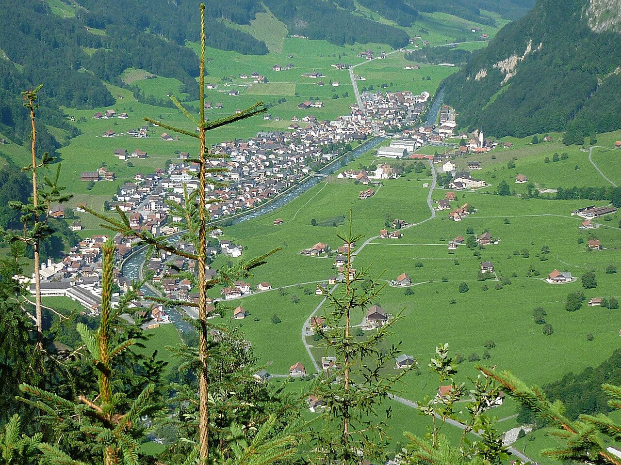
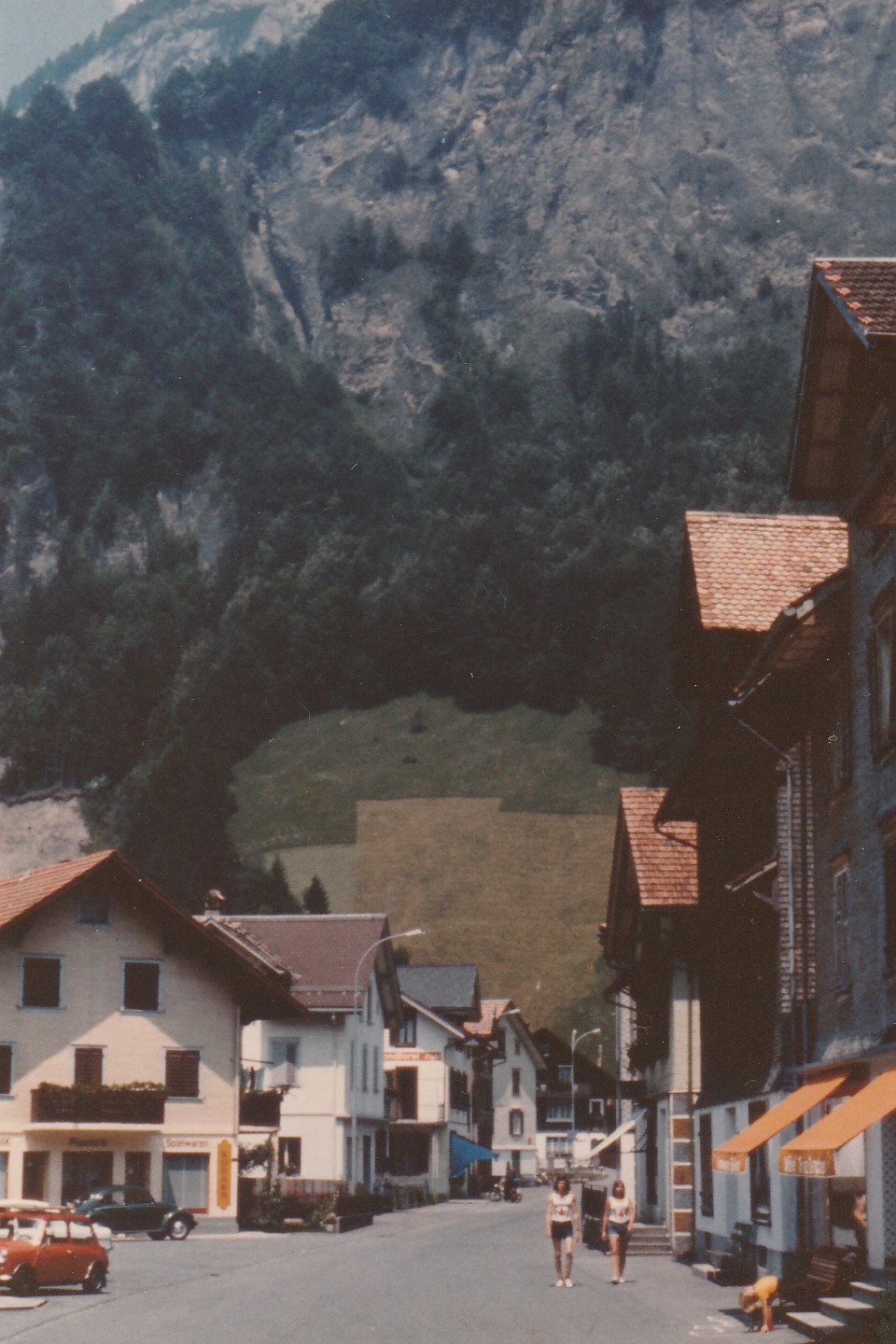
Muotathal is a village and municipality in central Switzerland. Administratively it belongs to the district of Schwyz in the canton of Schwyz and is part of the Swiss Confederation (Switzerland). The settlement gives its name to the Muotatal or Muota Valley, a steep-sided alpine valley carved by the Muota River, which flows northward and empties into Lake Lucerne at Brunnen (Lake Lucerne).
Image gallery
10 Images


Geography and landscape
The municipality covers a mix of valley floor, steep slopes and high alpine terrain. Forests, alpine meadows and rocky ridges are typical, and pastures remain important for local farming. The village sits along the course of the Muota and is connected by mountain roads and trails to neighboring valleys and passes. For administrative and travel information see the Muotathal municipality entry.
Natural features and notable sites
Muotathal is notable for deep limestone karst formations and a network of caves. The Hölloch cave system, one of the longest explored cave networks in Europe, lies in the vicinity and attracts speleologists and adventurous visitors. The rugged topography supports diverse flora and fauna and offers many hiking routes, climbing opportunities and seasonal winter activities in nearby alpine areas.
History and development
The valley has long been used for seasonal grazing and timber, with settlement patterns shaped by its mountainous character. Over centuries, communities in Muotatal developed local traditions tied to alpine farming and forestry while gradually integrating with wider transportation and economic networks of central Switzerland. Modern Muotathal combines rural livelihoods with tourism and conservation interests.
Economy, recreation and access
Local economic activity includes agriculture, forestry and tourism. Visitors come for caving, hiking, nature observation and to experience traditional mountain village life. Roads and trail links connect Muotathal to regional centers; public transport and local services serve residents and tourists alike. Practical details and municipal services can be found through the local administration and regional portals (canton and national resources).
Distinctions and visitor notes
- Muota River: the valley is defined by this watercourse, which reaches Lake Lucerne at Brunnen (Lake Lucerne).
- Caving: the nearby cave systems are among the most extensive in Switzerland and are a focus for scientific study and guided exploration.
- Rural alpine culture: seasonal farming and mountain pastures shape a distinctive landscape and community life.
Muotathal offers a compact example of a Swiss alpine valley where natural features, traditional land use and outdoor recreation combine. For official maps, visitor information and administrative contacts consult the municipality link (Muotathal) and broader canton or national resources (Schwyz, Switzerland).
Questions and answers
Q: Where is Muotathal located?
A: Muotathal is located in the Schwyz District in the canton of Schwyz in Switzerland.
Q: Is Muotathal a village or a city?
A: Muotathal is a village.
Q: What is the Muotatal?
A: The Muotatal is a valley formed by the Muota.
Q: What is the Muota?
A: The Muota is a river that joins Lake Lucerne at Brunnen.
Q: What district is Muotathal located in?
A: Muotathal is located in the Schwyz District.
Q: What canton is Muotathal located in?
A: Muotathal is located in the canton of Schwyz.
Q: Where does the Muota join with Lake Lucerne?
A: The Muota joins Lake Lucerne at Brunnen.
Related articles
Author
AlegsaOnline.com Muotathal: the Muota Valley village in the canton of Schwyz Leandro Alegsa
URL: https://en.alegsaonline.com/art/67590
Sources
- bfs.admin.ch : "Arealstatistik Standard - Gemeinden nach 4 Hauptbereichen"
- bfs.admin.ch : "Ständige Wohnbevölkerung nach Staatsangehörigkeitskategorie Geschlecht und Gemeinde; Provisorische Jahresergebnisse; 2018"