
Mount Everest: overview, geography, climbing routes, history and significance
Mount Everest is Earth's highest point above sea level, on the Nepal–China border. This article explains its geography, climbing routes, history, risks, and cultural and scientific importance.
Overview
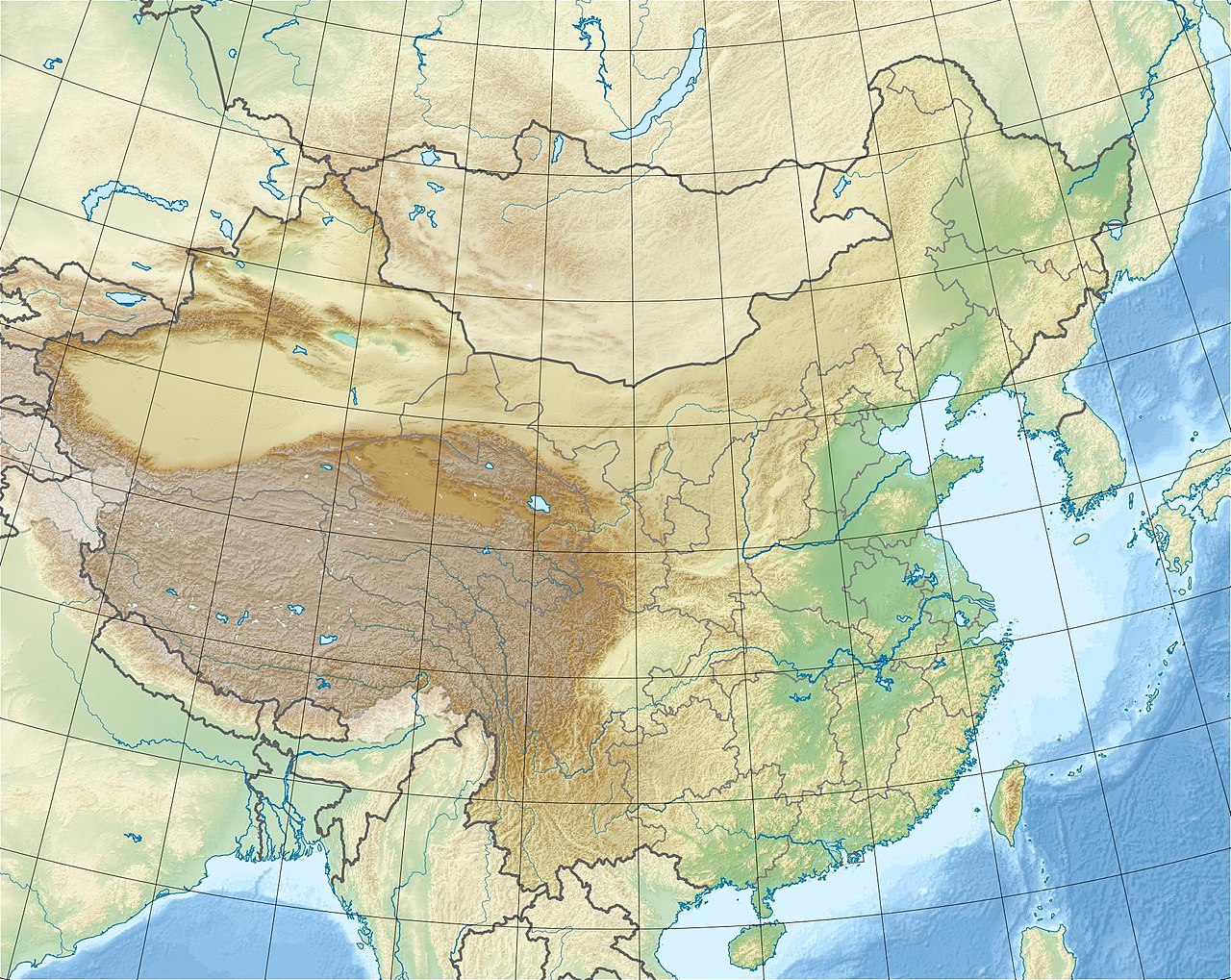
Mount Everest is widely recognized as the highest mountain on Earth when measured above sea level. Its summit reaches approximately 8,848 metres (about 29,029 ft), and it stands within the central Himalayas. The peak lies on the international boundary between Nepal and China (Tibet), and it is both a physical landmark and a symbol of mountaineering achievement.
Image gallery
10 Images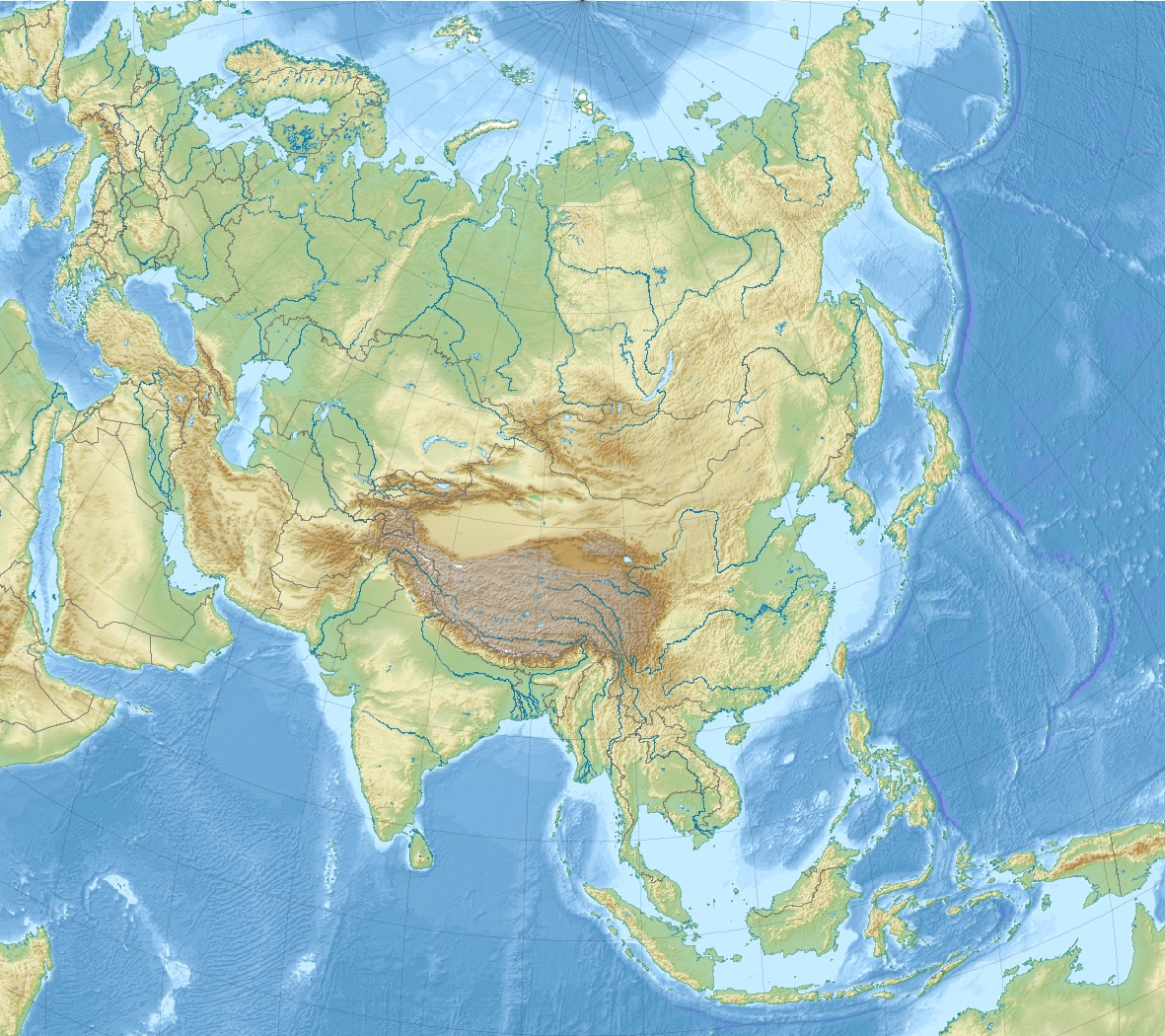



Geography and geology
The mountain formed as the Indian tectonic plate pushed north into the Eurasian plate, uplifting marine sediments into the high ranges. Local names reflect cultural importance: in Nepal it is known as Sagarmatha, and in Tibetan as Chomolungma. The summit ridge and associated glaciers feed high-altitude river systems and support distinct alpine ecology.
Routes and climbing characteristics
Climbers generally use fixed rope lines, high camps, and supplemental oxygen above the highest camps. There are more than a dozen established approaches to the summit, though most expeditions follow one of two primary corridors: the Southeast Ridge from Nepal and the Northeast Ridge from Tibet. The area above roughly 8,000 metres is commonly called the Death Zone, where thin air limits human survival. Teams often rely on bottled or supplemental oxygen and staged camps to manage acclimatisation and exposure.
Climbing logistics and typical route outline
- Southeast Ridge (Nepal): Base Camp, successive higher camps, the Khumbu Icefall and the Hillary Step area are notable sections.
- Northeast Ridge (Tibet): Approaches from the north, with its own technical and weather challenges.
- Other routes: several variations and technical lines exist, used less frequently by experienced teams.
History and notable ascents
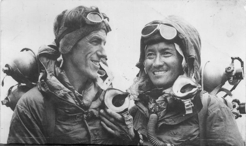
The first confirmed ascent was achieved on 29 May 1953 by Sir Edmund Hillary and Tenzing Norgay, an event that opened modern high-altitude mountaineering on Everest. Earlier attempts and vanished climbers, such as George Mallory, created longstanding debate about who might have reached the summit before that date. Since 1953 the mountain has seen thousands of ascents, evolving equipment, guiding services and international regulation.
Risks, conservation and contemporary issues
Climbing Everest involves objective hazards: avalanches, crevasses, altitude sickness, extreme cold and storms. The combination of popularity and limited high-altitude capacity has led to crowding, environmental pressures and waste disposal challenges. Both Nepal and China regulate permits, seasons and rescue coordination, and there are ongoing efforts to reduce garbage and preserve the mountain's environment. Scientific studies on glacial retreat and rockfall have linked parts of the mountain's changing conditions to broader climate trends.
Importance and notable facts
Everest remains an enduring symbol of human exploration, scientific study and cultural reverence. It is the highest point above sea level but not the point farthest from Earth's center. The mountain attracts climbers, scientists and tourists, and its slopes are a focus for research on high-altitude physiology, glaciology and climate change. For practical information about routes, permits and history consult authoritative sources and national authorities before planning travel or an expedition.
Further reading: geology overview, mountaineering safety, and summaries of expeditions and records at reference collections.
Questions and answers
Q: What is Mount Everest?
A: Mount Everest is the highest mountain on Earth.
Q: Where is Mount Everest located?
A: Mount Everest is located in the Himalayas, a mountain range.
Q: How high is Mount Everest?
A: Mount Everest is about 8,848.00 metres (29,028.87 ft) high.
Q: Where is the peak of Mount Everest located?
A: The peak of Mount Everest is on the border of Nepal and China.
Q: What is the Death Zone of Mount Everest?
A: The Death Zone refers to the parts of Mount Everest that are above 7,600 metres (24,900 ft) above sea level.
Q: What is used when climbing in the Death Zone?
A: Usually, compressed gas tanks with different gas mixes for different altitudes are used when climbing in the Death Zone.
Q: How many climbing routes are there to the summit of Mount Everest?
A: There are 18 climbing routes to the summit, but most expeditions will only take one of two routes.
Related articles
Author
AlegsaOnline.com Mount Everest: overview, geography, climbing routes, history and significance Leandro Alegsa
URL: https://en.alegsaonline.com/art/67026
Sources
- commons.wikimedia.org : Mount Everest