
Moravia: historical region of the eastern Czech lands
Moravia is a historic and cultural region in the eastern Czech Republic, named for the Morava River. It has distinct geography, history from Great Moravia to the Habsburg era, important cities, and rich folk traditions.
Overview
Moravia (Czech and Slovak: Morava, Slovak: Morava; German: Mähren) is a historic region in the eastern part of the present-day Czech Republic. The name derives from the Morava River, which runs broadly north–south through the territory. Historically Moravia, together with Bohemia and Silesia, formed the traditional Czech lands; today the area is an integral part of the Czech state but retains a distinct regional identity.
Image gallery
10 Images
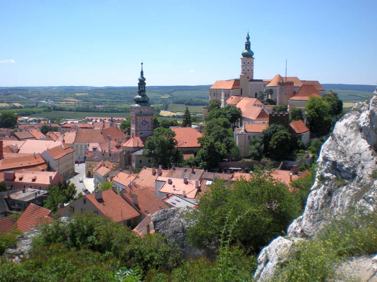


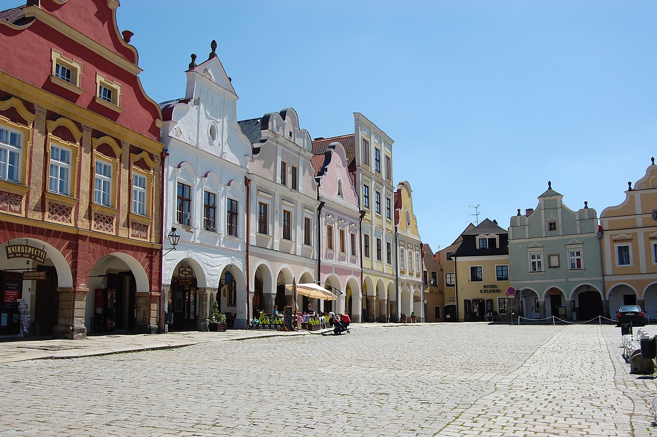


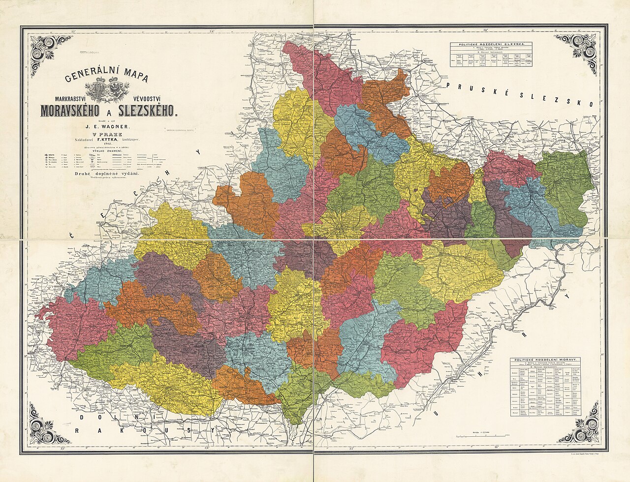

Geography and landscape
Moravia covers a varied landscape of river valleys, low mountains and fertile plains. The Morava River basin is the central feature, with tributaries and floodplains that shaped settlement and agriculture. The southern and southeastern areas are known for warmer microclimates and extensive vineyards; the northern part transitions into industrialized and formerly mining districts. Borders are not fixed by modern politics alone, and the historical region overlaps several contemporary administrative units.
History and development
Moravia has a long recorded history. It was an important center in the early medieval Slavic state often called Great Moravia, which played a role in Central European political and religious development. In the later Middle Ages the territory became a margraviate and was linked to the Czech crown and, subsequently, the Habsburg monarchy. In modern times Moravia was part of Czechoslovakia after 1918 and is now within the sovereign Czech Republic, while local historical memory and legal traditions continue to influence regional life.
Economy, culture and cities
Major urban centers in Moravia include Brno, the region's largest city and administrative nucleus; Olomouc, known for its historic university and ecclesiastical architecture; Ostrava, a former industrial and mining center in the northeast; and Zlín, associated with 20th-century industrial modernism. The region combines agriculture (notably viticulture in the south), light and heavy industry, education and services. Moravian folk traditions, dialects, music and costume remain visible in festivals and local cultural life.
Regional identity and notable facts
Although Moravia has no single modern political autonomy, many inhabitants identify as Moravian in addition to being Czech. Distinct dialects of Czech, regional cuisine, and historical symbols (such as regional coats of arms) underline that identity. Key points often highlighted about Moravia include:
- Its name and identity are tied to the Morava River and river basin.
- Early medieval significance as part of Great Moravia and later as a margraviate.
- Varied economy: vineyards in the south, universities and administration in central cities, industry in the north.
- Important cultural heritage: churches, urban architecture, folk customs and music.
For readers seeking more detailed maps, demographic data or histories of individual towns, consult regional studies and reference materials. Further background is available through general country resources and specialized works on Central European history and cultural geography.


Geography
Moravia forms the eastern third of the Czech Republic. Not included in Moravia proper are the headwaters of the Odra River from Krnov and Opava towards Ostrava, which historically belong to the Czech part of Silesia.
The Statistical Yearbook of the Austrian Monarchy for the year 1864 gives an area of 403.77 geographic square miles for the country of Moravia, which corresponds to 22,233 km².
Moravia borders Poland and the Czech part of Silesia to the north, Slovakia to the east, Lower Austria to the south and Bohemia to the west. The northern border is formed by the Sudeten Mountains, which merge into the Carpathian Mountains to the east and southeast. The historical border triangle with Bohemia and Austria is located at the top of the Bohemian Sass at the High Stone near Staré Město pod Landštejnem (Three-Country Stone). On the border with Austria flows the strongly meandering Dyje River; in the vicinity of Hardegg is the bilateral National Park Dyje Valley.
The core of the country (altitude 180-250 m) is formed by the sedimentary basin of the Morava River and partly the Dyje River. In the west (Bohemian-Moravian Highlands) the land rises to over 800 m, but the highest mountain is Altvater (1490 m) in the Sudetes, which lies in the northwest. South of this is the Low Jeseníky Upland (600-400 m), which descends to 310 m as far as the upper reaches of the Odra River (Moravian Gate near Hranice na Moravě) and rises further to the Beskydy Mountains at 1322 m (Kahlberg). These three mountain ranges, with the gateway between the last two, are part of the European watershed. The eastern border is formed by the White Carpathians at a maximum of 970 m asl. (Velká Javořina).
Population
A part of the Moravians considers itself as an independent ethnic group with Czech citizenship. According to the last census in 2011, 630,897 people profess to be Moravian (108,423 of them in a linguistic combination, the majority as "Moravian-Czech"). In addition, there are Roma, Slovaks and the long-established Poles. Almost all members of these ethnic minorities have Czech citizenship.
Until 1945, slightly more than a quarter of the population of Moravia consisted of German Moravians. According to the results of the Austro-Hungarian census of 1910, the Czech share of the total population of Moravia at that time (2,622,000 inhabitants) was 71.8% and the German share 27.6%. The German Moravians were largely expropriated and expelled in 1945/46 as a result of the so-called Beneš Decrees.

Related articles
Author
AlegsaOnline.com Moravia: historical region of the eastern Czech lands Leandro Alegsa
URL: https://en.alegsaonline.com/art/66614
Sources
- moravska-vlajka.eu : Odborné vexilologické stanovisko k moravské vlajce