
Montluçon — historical town on the Cher in central France
Montluçon, in Allier, is the most populous commune of its department though Moulins remains the prefecture. It combines a medieval core, Bourbonnais heritage, river setting and industrial legacy.
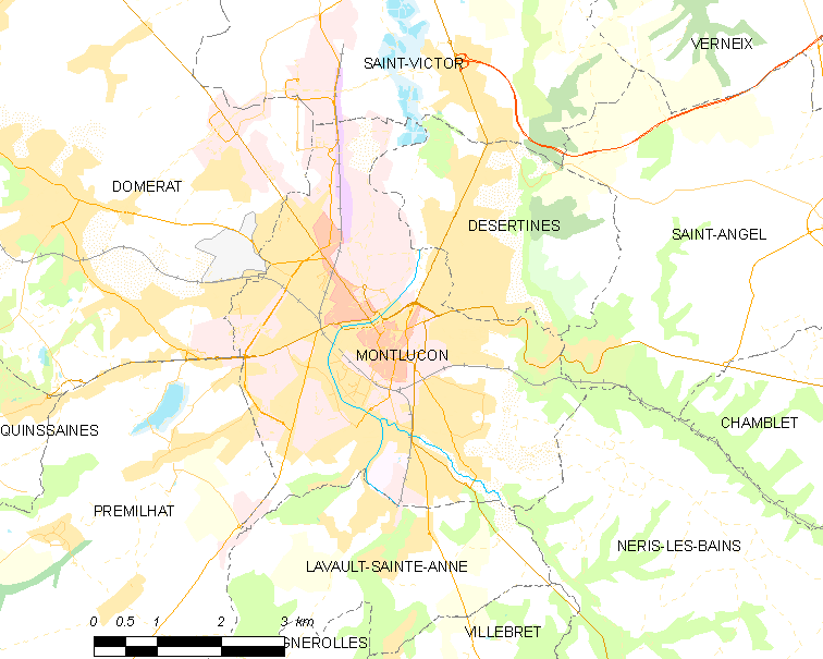
Montluçon is a commune situated in central France, within the Auvergne-Rhône-Alpes region. The town lies on the banks of the Cher river and serves as the largest municipality by population in its department, even though the department's préfecture is located in the smaller city of Moulins. Montluçon functions as a local centre for commerce, culture and administration in a largely rural part of France.
Image gallery
10 Images





Overview and administration
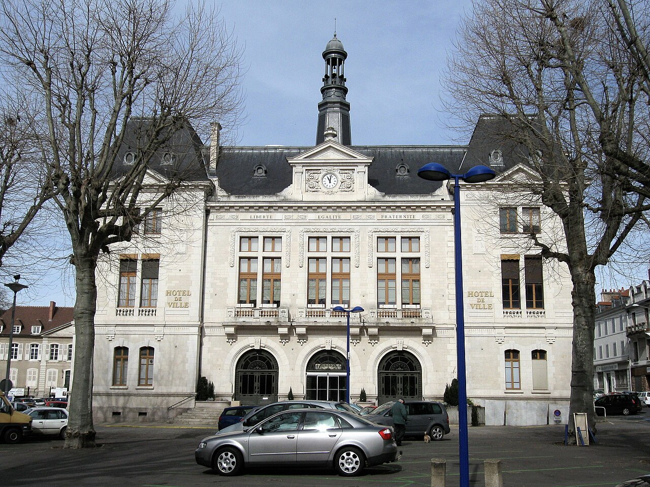
Montluçon occupies a strategic river valley position that shaped its growth. Its built environment includes a compact medieval hilltop district and more recent suburbs that developed with industrial expansion. Administratively the town is part of the Allier department and participates in regional planning and services for surrounding communes.
History
Montluçon has deep historical links to the old province of Bourbonnais: it was the traditional historical capital of this area and lay within the medieval province that came under the influence of the Duchy of Bourbon. The town's origins are medieval, developing around a fortified château and market. Over centuries it combined defensive significance with local commerce, later adding factories and workshops during the industrial age.
Sights and culture
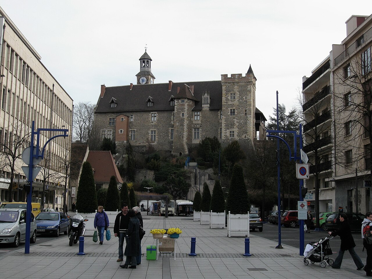
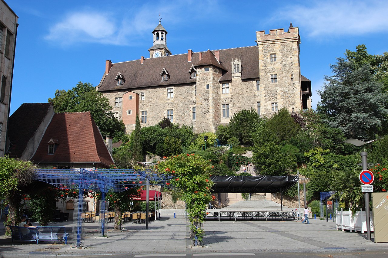
The most visible reminder of Montluçon's past is its fortified quarter with narrow streets, ramparts and a prominent castle. Cultural life mixes local traditions with museums, performing arts and seasonal events that reflect both rural and urban identities. Visitors find a contrast between the atmospheric old town and the broader urban area that grew along the river.
Economy, transport and contemporary life
Historically influenced by river trade and later by industry, Montluçon today has a diverse local economy that includes services, light manufacturing and cultural tourism. The town is served by regional roads and rail links that connect it with larger cities, while its role as a departmental centre supports education, healthcare and small-scale commerce for the surrounding countryside.
Notable features
- Medieval castle and historic centre
- Riverine setting on the Cher
- Heritage as capital of Bourbonnais
- Combination of industrial legacy and cultural activities
Questions and answers
Q: Where is Montluçon located?
A: Montluçon is located in central France, in the Auvergne-Rhône-Alpes region, on the Cher river.
Q: What is the population of Montluçon?
A: Montluçon is the commune in the department with largest population.
Q: What city serves as préfecture for this department?
A: The préfecture for this department is located in the smaller city of Moulins.
Q: What was Montluçon historically known as?
A: Historically, Montluçon was known as the capital of the old province of Bourbonnais and was part of the mediaeval Duchy of Bourbon.
Q: How long has it been a part of France?
A: It has been a part of France since mediaeval times.
Q: Is there any other significant history associated with Montluçon?
A: Yes, it was historically known as being part of the mediaeval Duchy of Bourbon and also served as capital to an old province called Bourbonnais.
Related articles
Author
AlegsaOnline.com Montluçon — historical town on the Cher in central France Leandro Alegsa
URL: https://en.alegsaonline.com/art/66424
Sources
- insee.fr : "Commune de Montluçon (03185)"
- map-france.com : "Montluçon"
- lion1906.com : "Montluçon"
- annuaire-mairie.fr : "Ville de Montluçon"
- habitants.fr : "Montluçon (03100)"
- insee.fr : "Régions, départements, arrondissements, cantons et communes"
- insee.fr : "Unité urbaine de Montluçon (03501)"
- insee.fr : "Aire urbaine de Montluçon (108)"
- mairie-montlucon.fr : "Bienvenue à Montluçon - Jumelage"