
Mongar District (Bhutan)
Mongar is an eastern Bhutan dzongkhag known for its town of Mongar, lemongrass production, Kuri Chhu hydropower, and sections of two protected areas. It comprises 17 village blocks (gewogs).
Overview
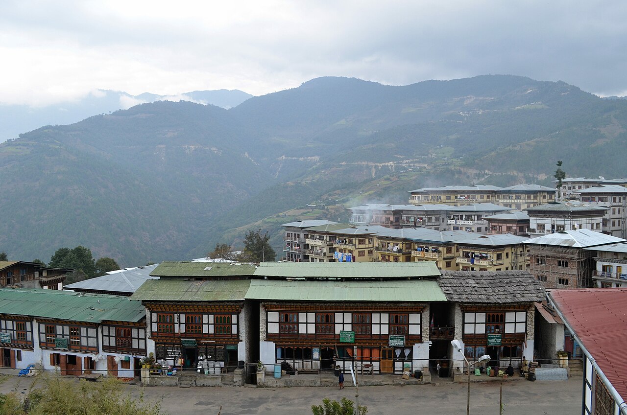
Mongar District is one of the twenty dzongkhags (districts) of Bhutan, located in the eastern part of the country. The district administrative centre is the town of Mongar, a regional hub for trade, government services and education. The district lies roughly at 27.167°N 91.167°E and occupies a range of river valleys and mid-elevation hills.
Image gallery
4 Images


Geography and environment
Mongar covers varied terrain from subtropical valleys to temperate slopes. The Kuri Chhu river and its tributaries carve important valleys used for agriculture and transport. Parts of two protected areas extend into the dzongkhag: Thrumshingla National Park and Bumdeling Wildlife Sanctuary, which contribute to local biodiversity and watershed protection.
Administration and communities
The district is subdivided into seventeen village blocks, locally called gewogs. These gewogs encompass many small villages and hamlets where residents practice mixed subsistence and market-oriented agriculture. The town of Mongar acts as the primary administrative and commercial centre, connecting rural communities with national services.
Economy and infrastructure
Mongar's economy combines farming, small-scale commerce and industry. The district is notable for its production of lemongrass, used to extract essential oil and sold for both domestic use and export; local producers and cooperatives process the raw plant into marketable oil products (lemongrass oil). A significant hydropower facility harnesses the Kuri Chhu river, contributing electricity to national grids and supporting regional development (Kuri Chhu hydropower).
Cultural and natural significance
Mongar combines traditional Bhutanese culture with growing connectivity. Religious sites, seasonal festivals and local crafts form an important part of communal life. The district's protected areas support wildlife habitats and offer opportunities for conservation, research and limited eco-tourism while helping to maintain ecosystem services for downstream communities.
Notable facts
- Administrative centre: Mongar.
- Coordinates commonly cited near 27.167°N, 91.167°E.
- Known for lemongrass cultivation and essential oil production (lemongrass).
- Contains parts of Thrumshingla National Park and Bumdeling Wildlife Sanctuary.
- Home to a hydropower installation on the Kuri Chhu (Kuri Chhu project).
For further local details, administrative maps and development plans consult regional sources and government publications that cover Mongar's gewogs, infrastructure projects and conservation initiatives.
Questions and answers
Q: How many districts does Bhutan have?
A: Bhutan has 20 districts.
Q: Where is the administrative centre of Mongar District?
A: The administrative centre of Mongar District is Mongar.
Q: What is Mongar noted for?
A: Mongar is noted for its lemon grass, a plant that can be used to produce an essential oil.
Q: Does Mongar have a hydroelectric power-plant?
A: Yes, Mongar has a hydroelectric power-plant on the Kuri Chhu river.
Q: Are there any national parks or wildlife sanctuaries in Mongar District?
A: Yes, parts of both the Thrumshingla National Park and Bumdeling Wildlife Sanctuary are in the district.
Q: How many village blocks are there in Mongar District?
A: There are seventeen village blocks in Mongar District.
Q: What is the geographical location of Mongar District?
A: The geographical location of Mongar District is 27°10′N 91°10′E / 27.167°N 91.167°E / 27.167; 91.167.
Related articles
Author
AlegsaOnline.com Mongar District (Bhutan) Leandro Alegsa
URL: https://en.alegsaonline.com/art/66034