
Missouri River Valley: Geography, History, and Significance
The Missouri River Valley stretches from the river's Montana headwaters to its meeting with the Mississippi, forming North America's longest river valley and a broad basin of floodplains, habitats, and human uses.
Overview
The Missouri River Valley traces the corridor carved by the Missouri River from its alpine headwaters to its junction with the Mississippi River. The valley begins where three mountain streams join in western Montana and follows the river’s roughly 2,300-mile course to the confluence with the Mississippi. Together the channel and its adjacent lowlands drain a large portion of the central United States, forming the longest river valley in North America (see references).
Image gallery
4 Images


Geography and physical characteristics
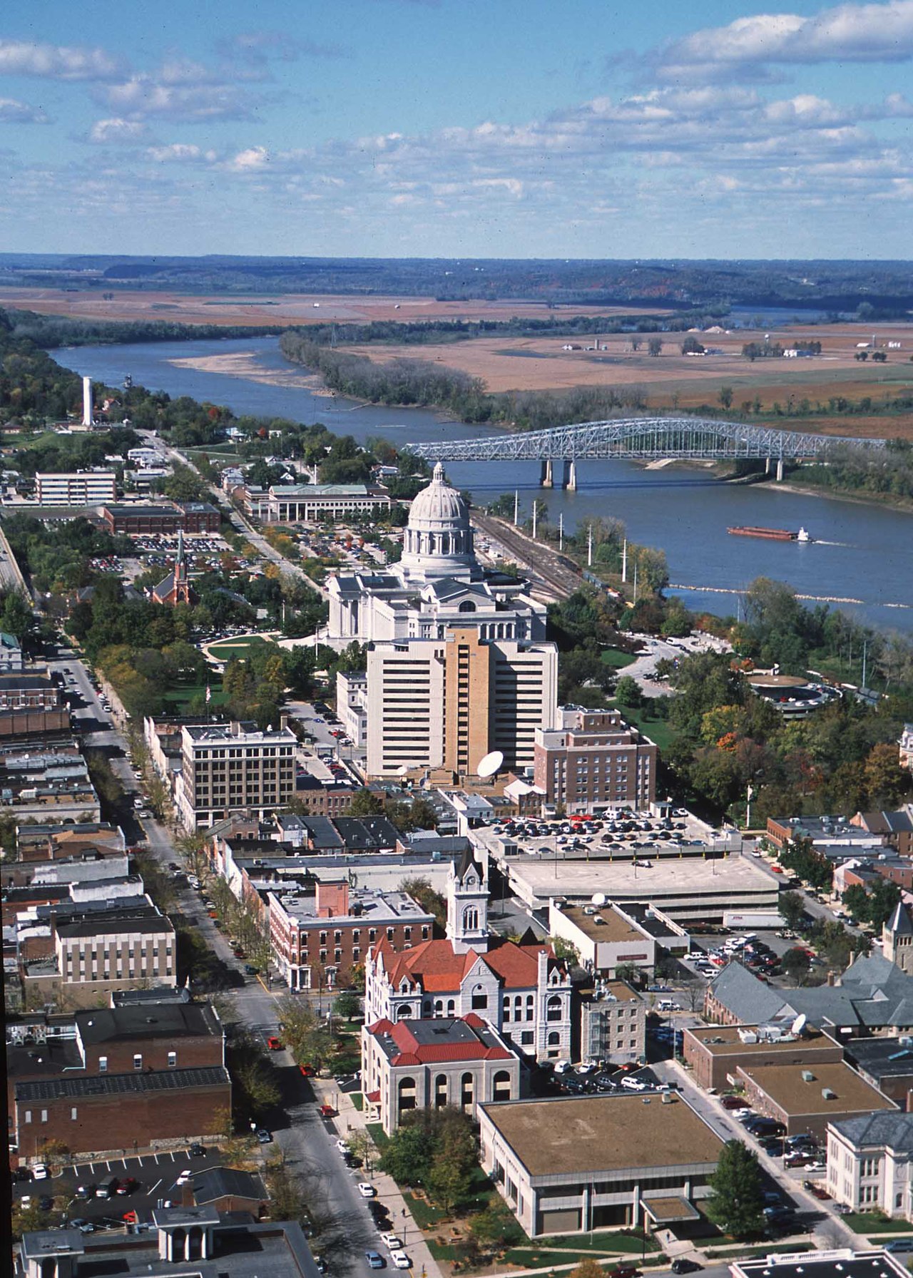
The valley includes the river channel, floodplain terraces, bottomlands and associated wetlands. These landscapes are shaped by seasonal flows, sediment deposition and historic meandering. The broader Missouri River basin supports diverse soils and agricultural zones; along the river, river bottoms and floodplains are prominent features that influence land use and habitat patterns.
History and human development
Indigenous peoples occupied and managed stretches of the valley for millennia, relying on its resources for food, travel and trade. European exploration and expansion intensified in the 18th and 19th centuries; the river served as a transportation highway during westward migration. In the 20th century, engineering projects—dams, reservoirs, levees and navigation works—altered the valley to support flood control, irrigation and barge traffic, while changing natural flow regimes.
Uses, economy and ecology
The valley remains important for agriculture, municipal water, industry and recreation. Fisheries, wetlands and riparian corridors supply habitat for migratory birds and native fish. Management must balance economic demands with ecological restoration efforts, including habitat reconstruction, floodplain reconnection, and water-quality measures.
Management and challenges
River management is a complex mix of federal, state and local efforts addressing flood risk, navigation, water supply and conservation. Climate variability, sedimentation and competing water uses pose ongoing challenges for sustaining healthy riverine systems and protecting communities in the valley.
Notable facts and distinctions
- The Missouri River Valley stretches from the river’s headwaters—fed by tributaries in Montana—to the point where it joins the Mississippi at the confluence recorded by explorers and cartographers (confluence).
- It drains about one-sixth of the United States, forming an extensive basin of agricultural and ecological value.
- Key landscape elements include the river channel itself and adjacent floodplains, which store water and sustain biodiversity.
- As the continent’s longest river valley, it is central to regional history, commerce and conservation efforts (longest river valley).
Questions and answers
Q: Where is the Missouri River Valley located?
A: The Missouri River Valley is located from Montana to the State of Missouri.
Q: What rivers flow together to form the Missouri River?
A: The Madison, Jefferson, and Gallatin Rivers flow together in Montana to form the Missouri River.
Q: How long is the Missouri River Valley?
A: The Missouri River Valley is 2,300 miles (3,700 km) long.
Q: How much of the United States does the Missouri River Valley drain?
A: The Missouri River Valley drains one-sixth of the United States.
Q: What is the Missouri River Valley famous for?
A: The Missouri River Valley is famous for being the longest river valley in North America.
Q: What does the Missouri River basin include?
A: The Missouri River basin includes river bottoms and floodplains.
Q: Which river does the Missouri River flow into?
A: The Missouri River flows into the Mississippi River in the State of Missouri.
Related articles
Author
AlegsaOnline.com Missouri River Valley: Geography, History, and Significance Leandro Alegsa
URL: https://en.alegsaonline.com/art/65503
Sources
- infolink.cr.usgs.gov : The Missouri River Story - USGS
- prairiefirenewspaper.com : "The Missouri River"