Milton Keynes — planned new city in Buckinghamshire, England
Milton Keynes is a large planned city in Buckinghamshire, England, created in 1967 as a 'new town'. Known for its grid road network, Redways for cyclists and pedestrians, and rapid postwar growth.
Overview
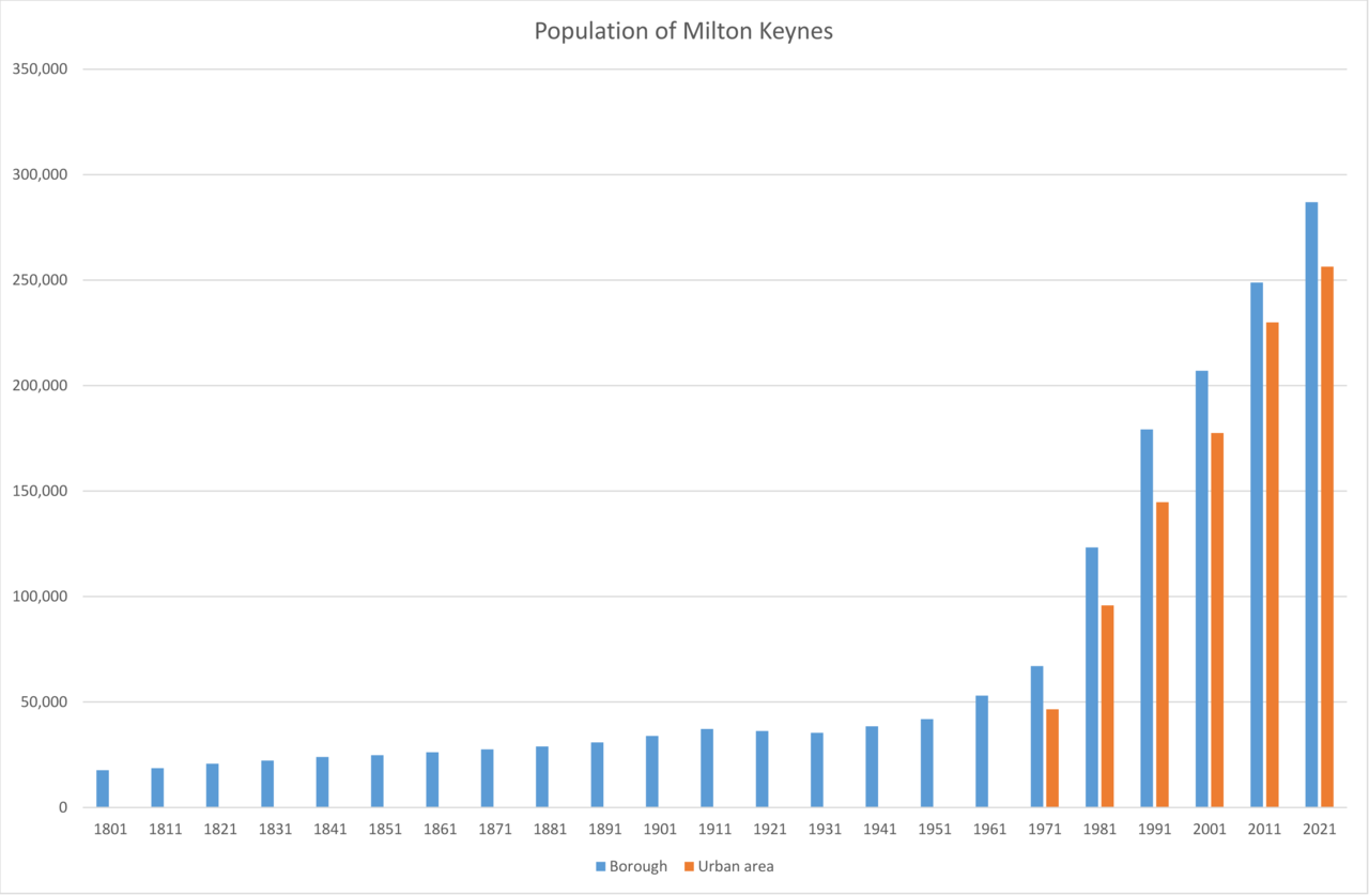
Milton Keynes is a major town and designated new city in Buckinghamshire, England. It was created after the national government decided in 1967 to form a large new town intended to accommodate a rapidly growing population and to relieve pressure on London. Designed as a modern, planned settlement, Milton Keynes grew from a collection of existing towns and villages into a polycentric urban area whose population rose from about 45,000 in the late 1960s to well over 250,000 by the early 21st century, meeting and exceeding early projections for the end of the twentieth century.
Image gallery
10 Images


Design and layout
The city is widely known for its distinctive grid of major roads and the smaller, residential "grid squares" that lie between them. From the air the main carriageways form a geometric network rather than the irregular, radial pattern of many older towns. The design deliberately separates fast motor traffic from local streets: no houses front directly onto the busiest routes and large sections of the city are easier to navigate on foot or by bicycle than by car.
Pedestrian and cycle network
A defining feature is the Redway system — a continuous network of off-road paths coloured red — built to link neighbourhoods without forcing pedestrians and cyclists to cross busy roads at grade. These dedicated routes permit people to travel long distances across the urban area using only non-motorised routes. Where main roads intersect the Redways, the road network often passes over or under the paths by means of bridges and underpasses, so people walking or cycling can move safely and directly; the scheme restricts motorised vehicles from these routes to maintain safety and encourage active travel.
History and development
The area chosen for Milton Keynes contained several older settlements, and planning decisions preserved many green spaces and linear parks that follow rivers and streams. Over decades the city has attracted housing development, retail centres, industrial parks and public institutions. Its growth reflects broader postwar British planning priorities that combined housing, employment and recreational land in a single framework to create self-contained but connected communities.
Economy, culture and notable facts
Milton Keynes hosts a diverse economy including national offices, high-tech firms, logistics and retail. Cultural amenities, parks and shopping centres have expanded alongside new housing. An important constitutional detail is that titles such as "city" in the United Kingdom are granted by the Crown; only the reigning King or Queen may confer city status, so local usage of the word differs from formal designation.
Characteristics and distinctions
- Planned after 1967 as a response to urban pressures and population growth.
- Distinctive grid network of main roads, with residential "grid squares" between them.
- Redways: separate, red-coloured paths for pedestrians and cyclists to improve safety and connectivity; motor vehicles such as trucks and motorbikes are excluded.
- Frequent use of grade separation — roads pass over or under to protect non-motor traffic; see the role of bridges and underpasses.
- Design choices emphasise green space and local centres rather than a single dense core; the Redways themselves take their name from the network's Redways colouring and signage (colour being a deliberate, visible feature).
Today Milton Keynes remains an important example of mid-20th-century planning in the UK: a deliberately engineered urban area that blends transport separation, distributed neighbourhoods and extensive open space to create a different model from traditional British towns.
Questions and answers
Q: What is Milton Keynes?
A: Milton Keynes is a city in Buckinghamshire, England.
Q: When was the new town started?
A: The government decided to start the new town in 1967.
Q: How many people lived there before it became a city?
A: Before it became a city, there were about 45,000 people living in the area that included three towns and sixteen villages.
Q: How did Milton Keynes get its name as a city?
A: Only the King or Queen can give it that name, so Milton Keynes officially became a city by royal decree.
Q: What do aeroplanes see when they fly over Milton Keynes?
A: Aeroplanes flying over Milton Keynes can see roads that look like a net or grid pattern.
Q: What are the spaces between these roads called?
A: The spaces between these busy roads are called grid squares.
Q: What are Redways and who is allowed to use them?
A: Redways are paths that go under the roads and between houses and only people on bicycles and pedestrians are allowed to use them - cars, lorries and motorbikes are not allowed on them.
Related articles
Author
AlegsaOnline.com Milton Keynes — planned new city in Buckinghamshire, England Leandro Alegsa
URL: https://en.alegsaonline.com/art/65095