Miami County, Kansas
Miami County is a county in east-central Kansas, named for the Miami Tribe. Paola is the county seat and largest city. The county combines rural agriculture, small towns, and growing commuter communities near Kansas City.
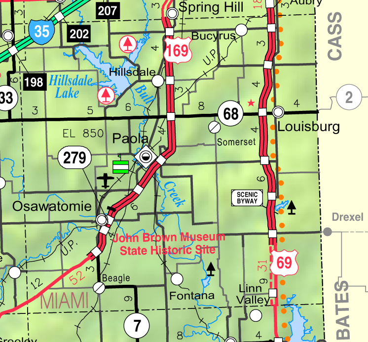
Miami County lies in east-central Kansas. It is a mixture of small cities, farming countryside and suburbanizing areas that lie within the outer reaches of the Kansas City metropolitan region. According to the U.S. census count in 2010, the county had 32,787 residents. The county code is MI and the civic center and largest community is Paola, which also serves as the county seat (Paola).
Image gallery
4 Images


Geography and character
The landscape is typical of east-central Kansas: rolling farmland, river valleys and small woodlands. Agriculture has long been important, but proximity to the Kansas City area has brought residential growth, commuter traffic and suburban development to the northern and eastern parts of the county. Parks, local rivers and public spaces provide recreation for residents.
History and name
Miami County takes its name from the Miami people, a Native American tribe historically present in the region. European-American settlement increased in the mid-19th century as Kansas Territory was organized. The county shares in the broader historical themes of the state: frontier settlement, agriculture, and 19th‑century political and transportation change.
Communities and services
The county contains a mix of small cities, towns and rural townships. Notable communities include:
- Paola — county seat and largest city
- Louisburg — historic town with community services
- Spring Hill — growing residential and commuter community
- Osawatomie — riverfront town with local attractions
Local government provides roads, public safety, courts and records. Schools, libraries and parks are administered by a combination of municipal and county agencies.
Economy and transportation
The local economy blends agriculture, small manufacturing, retail services and an increasing number of residents who commute to jobs in the greater Kansas City area. The county is served by regional highways and local roads that connect towns to urban employment centers, supporting commuter flows as well as local commerce.
Questions and answers
Q: What is Miami County, Kansas?
A: Miami County, Kansas is a county located in east-central Kansas.
Q: How many people lived in Miami County in 2010?
A: In 2010, Miami County had a population of 32,787.
Q: What is the county seat of Miami County?
A: The county seat of Miami County is Paola.
Q: Is Paola the biggest city in Miami County?
A: Yes, Paola is also the biggest city in Miami County.
Q: What is the county code of Miami County?
A: The county code of Miami County is MI.
Q: Where is Miami County located?
A: Miami County is located in east-central Kansas.
Q: How many people live in Miami County currently?
A: The text does not provide information about the current population of Miami County.
Related articles
Author
AlegsaOnline.com Miami County, Kansas Leandro Alegsa
URL: https://en.alegsaonline.com/art/64391
Sources
- quickfacts.census.gov : "State & County QuickFacts"
- naco.org : "Find a County"
- census.gov : "US Gazetteer files: 2010, 2000, and 1990"
- census.gov : "Population and Housing Unit Estimates"
- census.gov : "U.S. Decennial Census"
- mapserver.lib.virginia.edu : "Historical Census Browser"
- census.gov : "Population of Counties by Decennial Census: 1900 to 1990"
- census.gov : "Census 2000 PHC-T-4. Ranking Tables for Counties: 1990 and 2000"
- uselectionatlas.org : uselectionatlas.org/RESULTS/