
Arunachal Pradesh: geography, people, and the border dispute
Indian state in the eastern Himalaya known for high mountain terrain, diverse tribal cultures, rich biodiversity, strategic location and an ongoing territorial claim by China.
Overview
Arunachal Pradesh is a mountainous region in the eastern Himalaya administered as a state of India with its capital at Itanagar. The name is often translated as "land of the dawn-lit mountains." It is sparsely populated, culturally diverse and ecologically rich, with numerous indigenous tribal communities and many languages spoken across valleys and highlands.
Image gallery
10 Images
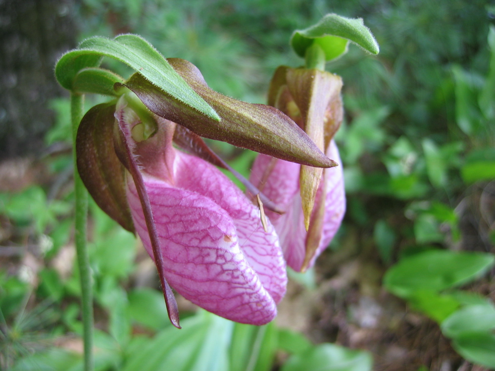
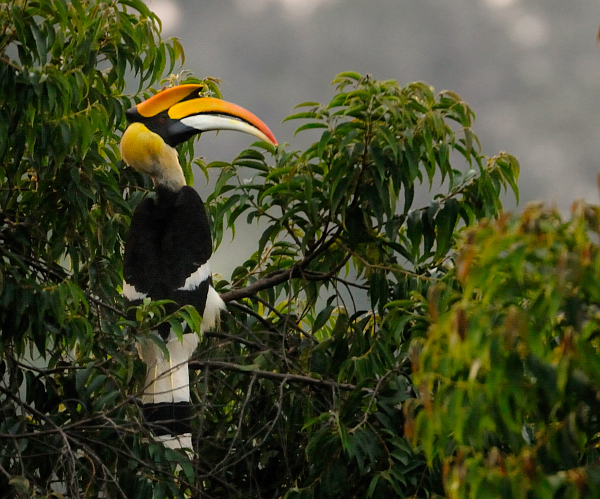

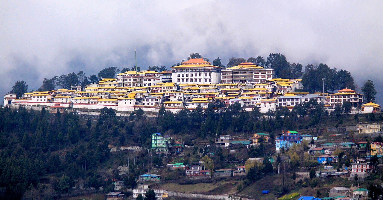


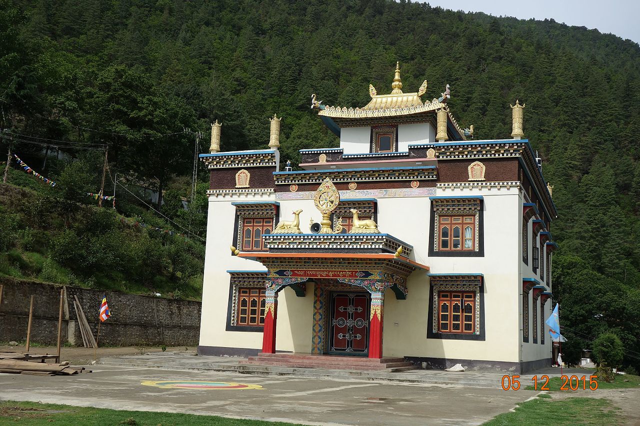
Geography and administration
The state occupies a rugged frontier zone bounded by the eastern Himalaya. It borders the Indian states of Assam and Nagaland to the south, shares international frontiers with Bhutan to the west and Myanmar to the east, and has a long contested boundary with the People’s Republic of China to the north. Terrain ranges from subtropical lowlands to alpine ridges; river systems that feed the Brahmaputra originate here. Administratively it is divided into several districts and has infrastructure challenges because of remoteness and steep slopes.
History and the border dispute
Historically the area had fluid links with neighbouring Himalayan polities and tribal societies. Under British colonial rule it was managed as frontier territory and after Indian independence it became the North-East Frontier Agency (NEFA) before gaining statehood in 1987. The international boundary is disputed: the boundary line drawn at the 1914 Simla discussions (the McMahon Line) is accepted by India but not recognized by China, which refers to much of the same territory as "South Tibet" (Zangnan) and has periodically raised objections to names and maps. The region was a major theatre in the 1962 Sino-Indian war and remains strategically sensitive along the Line of Actual Control.
People, culture and economy
Arunachal is home to many tribes including Monpa, Nyishi, Adi, Apatani and others, each with distinct languages, customs and festivals. Agriculture—largely subsistence shifting cultivation—and forestry are mainstays of the local economy; there is also hydropower potential, small-scale trade and growing eco-tourism. English is used officially, while local tongues persist in daily life.
Significance and notable facts
- The state is important for biodiversity and endemic species found in its different climate zones.
- Its frontier position gives it strategic importance for both India and China, contributing to periodic diplomatic and military tensions.
- Discussion about place names, administrative designations and mapping has been part of the broader dispute; both sides use different toponyms, such as China’s usage of South Tibet for parts of the territory.
As a living region, Arunachal Pradesh combines mountain landscapes, cultural plurality and geopolitical sensitivity. Its future development involves balancing infrastructure and conservation, while diplomatic dialogue remains central to resolving outstanding boundary questions.
Questions and answers
Q: What is Arunachal Pradesh?
A: Arunachal Pradesh is a state located between India and China.
Q: Which country claims the ownership of this state?
A: The ownership of Arunachal Pradesh is disputed between India and China.
Q: How does China refer to this region?
A: China refers to Arunachal Pradesh as South Tibet or Zangnan in Chinese.
Q: What did China do in 2017 regarding this territory?
A: In 2017, China started renaming places in Arunachal Pradesh.
Q: Which year did China destroy 30,000 world maps showing South Tibet as part of India?
A: China destroyed 30,000 world maps showing South Tibet as part of India in 2019.
Q: Why did China destroy the world maps?
A: China destroyed the world maps because they considered them as "incorrect" since it showed South Tibet as part of India.
Q: What is the main issue between India and China regarding Arunachal Pradesh?
A: The main issue between India and China regarding Arunachal Pradesh is the ownership of this territory.
Related articles
Author
AlegsaOnline.com Arunachal Pradesh: geography, people, and the border dispute Leandro Alegsa
URL: https://en.alegsaonline.com/art/6396
Sources
- commons.wikimedia.org : Arunachal Pradesh
- bbc.com : "China renames places disputed with India"
- thehindu.com : "China destroys 30,000 'incorrect' world maps"
- worldcat.org : 0971-751X