
Margalla Hills
A low mountain range north of Islamabad in the Lesser Himalayas, noted for its peaks, trails, biodiversity, and role as a protected recreational area.
Overview
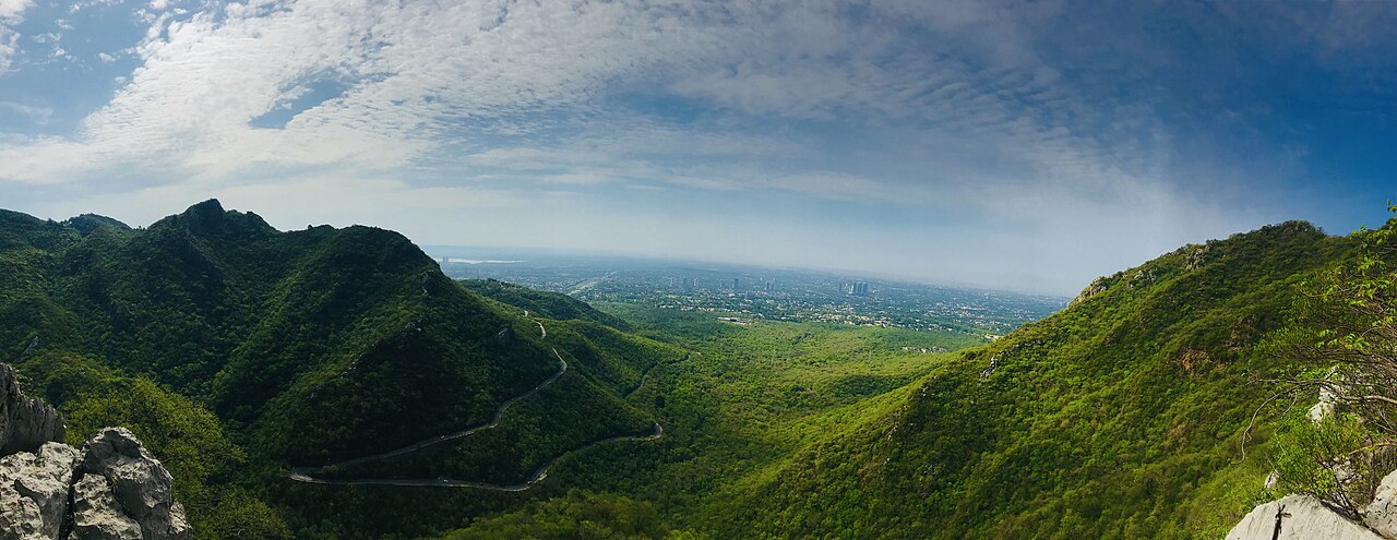
The Margalla Hills form a compact range of foothills in the Lesser Himalayas, rising immediately to the north of Islamabad. The range covers roughly 12,605 hectares (about 31,150 acres) and functions as both a natural buffer for the city and a popular destination for residents and visitors. Geographically the Margallas are considered an offshoot of the larger Murree hills and consist of a series of ridges, valleys and distinct peaks.
Image gallery
10 Images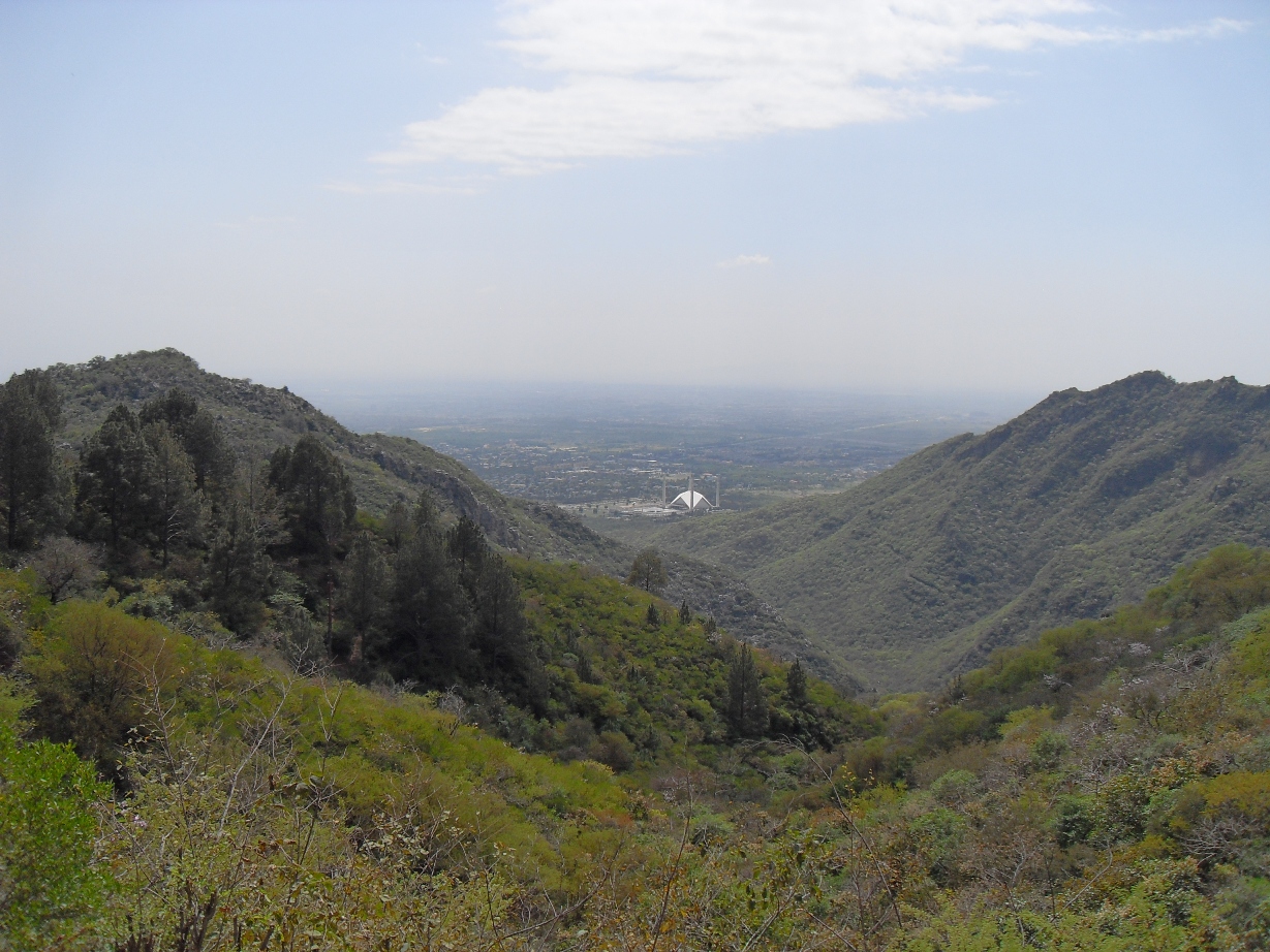




Geography and physical characteristics
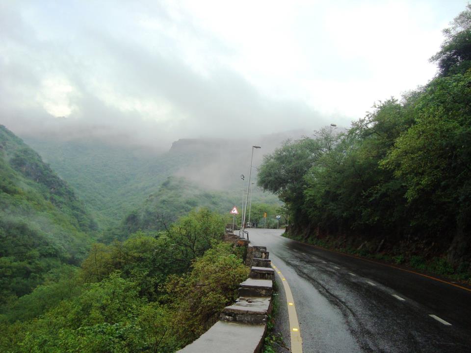
The Margalla Hills are modest in elevation compared with the higher Himalaya: the average altitude is close to 1,000 metres above sea level, while the highest summit, Tilla Charouni at the eastern end of the range, reaches about 1,604 metres. The relief includes steep slopes, narrow valleys and plateaus that support a mix of scrub and wooded areas. In the coldest winters some of the upper elevations receive light snowfall. The range's proximity to Islamabad makes it a visible and defining feature of the capital's northern skyline.
Ecology and wildlife
Vegetation across the Margallas varies with elevation and exposure. Lower slopes commonly bear scrub and thorny bushes, while higher and sheltered locations host patches of pine and broadleaf trees. The hills support a variety of wildlife adapted to an urban-adjacent setting: small mammals, several species of bats, monkeys and a rich assemblage of resident and migratory birds. The area is valued for its biodiversity and for providing green-space ecosystem services—air purification, erosion control and recreational habitat—close to a major urban population.
Recreation, access and management
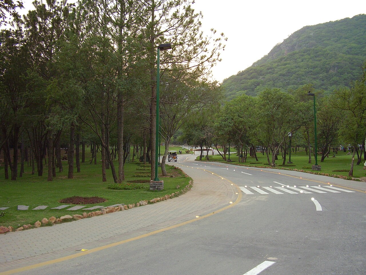
Large sections of the Margalla Hills are managed for both conservation and public use. The landscape contains a network of marked hiking trails, viewpoints and picnic spots that attract walkers, birdwatchers and mountain visitors. Popular viewpoints and recreational spots include places developed for day visits and short treks. Management challenges include balancing visitor use with habitat protection, controlling illegal cutting or land use change, and maintaining trails and facilities.
Notable facts and distinctions
- Tilla Charouni is the range's highest point at approximately 1,604 metres.
- The Margallas are part of the sub-Himalayan foothill system and are geologically linked to the Murree uplands.
- They serve as an accessible natural area for Islamabad's residents, offering outdoor recreation close to the city.
- Conservation efforts emphasize habitat protection alongside sustainable tourism and community engagement.
For visitors seeking more detailed maps, trail guides or conservation information, local authorities and park organizations publish resources and updates; online and printed guides can direct hikers to established routes and safety recommendations.
Questions and answers
Q: Where are the Margalla Hills located?
A: The Margalla Hills are north of Islamabad.
Q: What are the Margalla Hills?
A: The Margalla Hills are a mountain range in the lesser Himalayas.
Q: What is the area covered by the Margalla Range?
A: The Margalla Range has an area of 12,605 hectares (31,150 acres).
Q: How high is the highest peak of the Margalla Hills?
A: The highest peak of the Margalla Hills is Tilla Charouni, which is 1,604 metres tall.
Q: What is the average elevation of the Margalla Range?
A: The range has an average elevation of 1000 metres.
Q: Does the Margalla Range get snow?
A: Yes, the range gets some snow in some higher places in winters.
Q: Are the Margalla Hills part of a bigger range?
A: Yes, the Margalla Hills are an 'off-shoot' or linked part of the bigger Murree hills.
Related articles
Author
AlegsaOnline.com Margalla Hills Leandro Alegsa
URL: https://en.alegsaonline.com/art/61731