Marais des Cygnes River
A 217-mile tributary of the Osage River in eastern Kansas and western Missouri, known for its marshy lowlands, wildlife habitat, historical significance, and seasonal flash flooding.
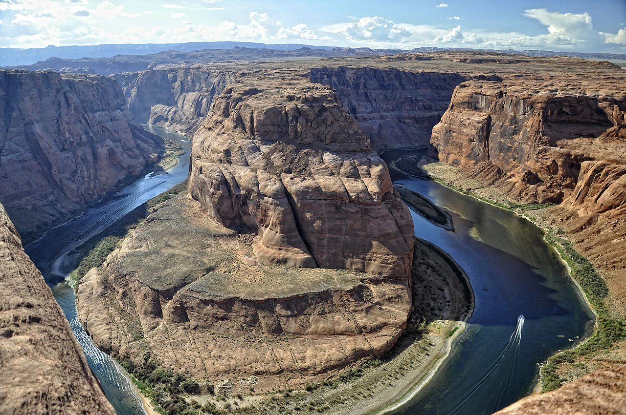
The Marais des Cygnes River is a principal tributary of the Osage River that flows across eastern Kansas and western Missouri in the central United States. Its course and lowland character are often identified by the coordinates shown here: map reference. The river combines prairie streams and marshy floodplain into a system that ultimately reaches the Mississippi River via the Osage and Missouri rivers, making it part of a much larger watershed network (Missouri River and Mississippi River connections).
Image gallery
3 Images

Course and physical characteristics
The waterway runs roughly 217 miles (349 km) and drains a landscape of rolling prairies, agricultural fields, and wooded bottomlands. It is listed as a major tributary of the Osage River. The river's channel widens in its lower reaches with extensive marshes and seasonally inundated flats that give the valley a marsh-like appearance—hence the French name that appears on early maps.
Name, languages and early natural history
The name Marais des Cygnes literally translates from French as "Marsh of the Swans". That French name reflects an earlier, indigenous Osage toponym recorded as Mixa-ckau-tse, referring to places where white swans were commonly seen. Historically the valley supported populations of large waterfowl such as trumpeter swans and tundra swans before intensive settlement and habitat change in the late 19th century.
History, settlement and events
Human use of the Marais des Cygnes valley spans indigenous occupation, early European exploration, and nineteenth-century settlement. The floodplain and adjacent uplands were important for hunting, travel and later agriculture. The valley also witnessed violent episodes during the Bleeding Kansas era; local events along or near the river became part of regional political and social history. Modern conservation efforts have sought to protect remnant wetlands and wildlife habitat along the river corridor.
Ecology, recreation and land use
The river's marshes and bottomland forests support a variety of wetland plants and wildlife and are valued by anglers, birdwatchers and paddlers. Much of the surrounding landscape is used for farming, but portions of the floodplain have been set aside as wildlife areas and refuges to preserve habitat and migratory corridors. Visitors may encounter wetland bird species that once drew early observers to the valley and that continue to define its natural character.
Flooding, management and contemporary issues
The Marais des Cygnes is notable for rapid changes in flow and a propensity for flash flooding, a hazard for communities, roads and farmland along its banks. Flood management, river restoration and wetland conservation are ongoing concerns for local and state agencies, balancing public safety and ecological function. Interpretive materials and local histories help explain the river's role in both natural and human systems in the eastern Kansas and western Missouri portions of its basin within the United States.
Notable references
- Place-name and coordinate listings often cite the river's location and mapping data (coordinates).
- Hydrologic and watershed documents describe its relationship to the Osage River and larger river systems (Missouri, Mississippi).
- Cultural mentions include songs and local storytelling, for example the song titled "The River" referenced in popular music sources (watershed references, tributary notes, wildlife references, swan species and the French name).
For further reading on the river's geography, ecology and history consult regional guides and conservation authorities that document the Marais des Cygnes River and its valley. Local historical societies and wildlife agencies provide maps, species lists and management plans for those interested in exploring or studying this distinctive central-U.S. river system (national context, state context, regional context).
Questions and answers
Q: What are the coordinates of the Marais des Cygnes River?
A: The coordinates of the Marais des Cygnes River are 38°01′39″N 94°14′39″W / 38.02750°N 94.24417°W / 38.02750; -94.24417.
Q: How long is the Marais des Cygnes River?
A: The Marais des Cygnes River is about 217 miles (349 km) long.
Q: Where does it run through?
A: The Marais des Cygnes River runs through eastern Kansas and western Missouri in the United States.
Q: What is its watershed?
A: Its watershed is part of the Mississippi River via the Osage and Missouri rivers.
Q: What does its name mean in French?
A: In French, its name means "Marsh of the Swans".
Q: Where did its name come from originally?
A: Its original name was “Mixa-ckau-tse” which comes from an Osage word meaning "where white swans are plentiful".
Q: Is it known for anything else besides flash flooding?
A: It is also mentioned in a song called "The River" by Chely Wright
Related articles
Author
AlegsaOnline.com Marais des Cygnes River Leandro Alegsa
URL: https://en.alegsaonline.com/art/61535
Sources
- geonames.usgs.gov : "Marais des Cygnes River"
- wdr.water.usgs.gov : "Water-Data Report 2013 - 06916600 Marais des Cygnes River near Kansas-Missouri State Line, KS"
- viewer.nationalmap.gov : The National Map
- fws.gov : "Marais des Cygnes National Wildlife Refuge and Wildlife Area"
- legendsofkansas.com : "Kansas Rivers - Page 3"