Mandalay — Myanmar's cultural and commercial center
Mandalay is Myanmar's second-largest city, situated on the Irrawaddy River. Founded as a royal capital, it remains a national hub for religion, traditional crafts, trade and tourism.
Overview
Mandalay is a major city in central Myanmar and the country's principal cultural hub after Yangon. It sits on the east bank of the Irrawaddy River and serves as a regional center for commerce, education and Burmese culture. Pronunciation and the local name are commonly noted in reference works; see the Burmese name and pronunciation for details: Burmese name and pronunciation. The city itself is often described in travel guides and census data as Myanmar's second-largest urban area: for a general city profile see city overview.
Image gallery
10 Images


Location and demographics
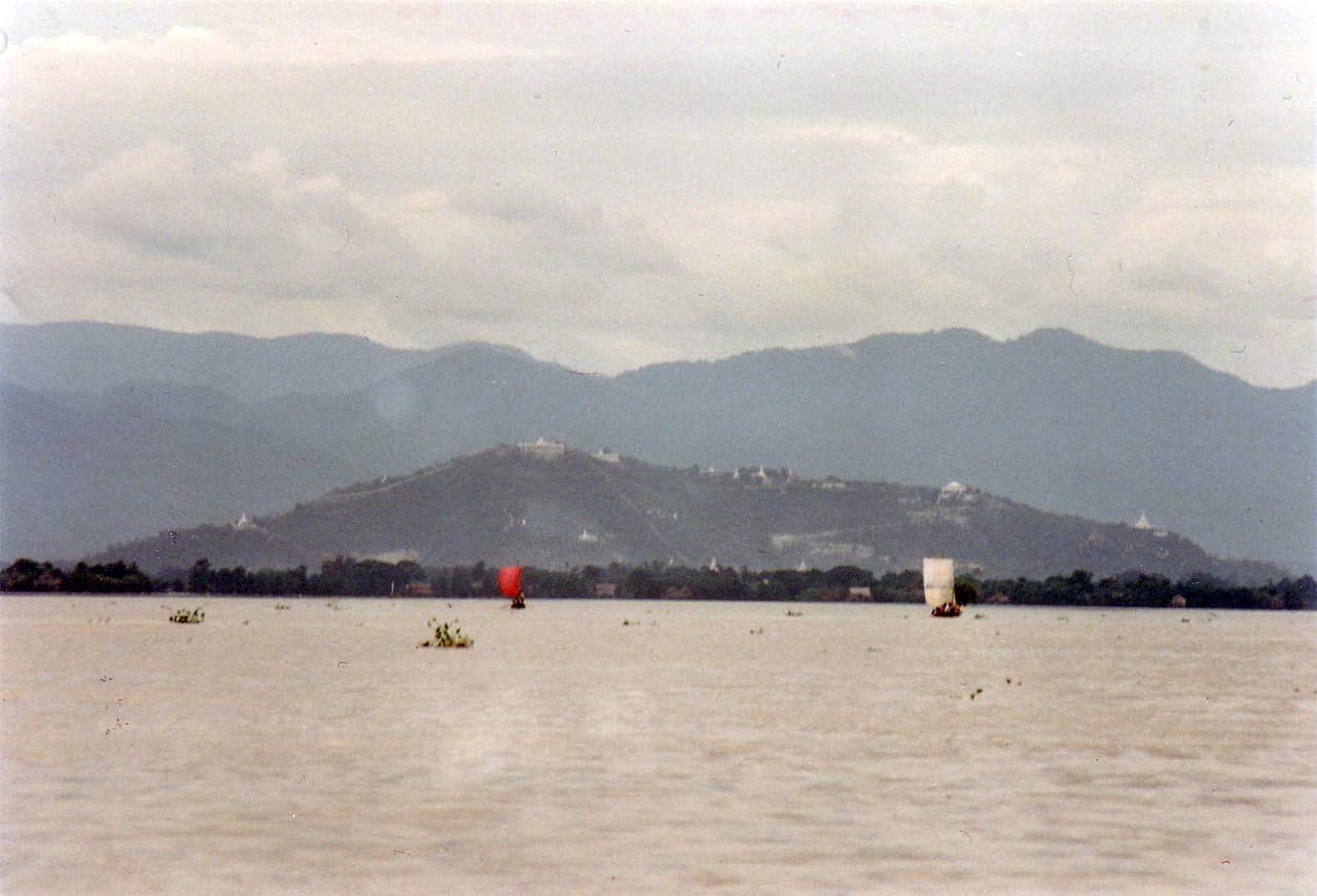
Mandalay lies about 716 km north of Yangon by road and river routes; its relative proximity to the former capital makes it an important link in national transport networks — for context on Yangon see Yangon. The urban area extends along the Irrawaddy, a major national waterway: Irrawaddy River. According to the most recent censuses widely cited in academic and government sources, Mandalay's population is commonly reported at roughly 1.2 million people in the early 2010s.
History
Mandalay was established in the mid-19th century by King Mindon as the last royal capital of the Burmese monarchy. It remained a political and religious center until the British conquest brought major changes to governance and urban form in the late 19th century. The city's historical role as a dynastic capital shaped its layout, religious architecture and community institutions; more historical background is available in specialized histories and heritage surveys: historical resources.
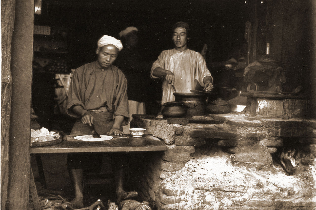
Culture, crafts and economy
Mandalay is widely recognized for its concentration of traditional Burmese arts and crafts. Workshops in and around the city produce gold leaf, carved teak, handwoven textiles and stone inscriptions. Religious life is prominent: monasteries, pagodas and festivals structure daily life and attract pilgrims. The economy mixes artisanal production, wholesale trade, light manufacturing and services, with markets and small industries serving the surrounding agricultural region.
Landmarks and tourism
- Mandalay Palace — remnants of the royal palace compound and reconstructed sections reflect the city's 19th-century origins.
- Mandalay Hill — a vantage point with panoramic views of the city and river, frequented by residents and visitors.
- Kuthodaw Pagoda — often described as housing the "world's largest book" in the form of inscribed stone slabs kept in individual stupas.
- Mahamuni Buddha Temple — an important pilgrimage site with a richly gilded main image.
Visitors typically combine cultural sightseeing with markets, craft workshops and river excursions. Practical travel and visitor information can be found through tourism guides and regional pages: Myanmar travel resources.
Transport and administration
Mandalay functions as a transport node with road, river and air links to other parts of Myanmar. The city's role as a regional administrative center means it hosts educational institutions, hospitals and civic offices that serve the wider Mandalay Region. For municipal and regional details, consult government and planning summaries: administrative profile and regional planning pages: river and transport links.
As a living urban center with deep historical roots, Mandalay continues to be central to Myanmar's cultural identity and economic life while evolving in response to modern development and tourism pressures.
Questions and answers
Q: What is the name of the city in Myanmar?
A: The city in Myanmar is called Mandalay.
Q: How far away is Mandalay from Yangon?
A: Mandalay is 716 km (445 mi) north of Yangon.
Q: Where is Mandalay located relative to the Irrawaddy River?
A: Mandalay is located on the east side of the Irrawaddy River.
Q: What was the population of Mandalay in 2014?
A: In 2014, there were 1,225,553 people living in Mandalay.
Q: Is there another city in Myanmar with more people than Mandalay?
A: Yes, there is one other city in Myanmar that has more people than Mandalay.
Related articles
Author
AlegsaOnline.com Mandalay — Myanmar's cultural and commercial center Leandro Alegsa
URL: https://en.alegsaonline.com/art/61227
Sources
- myanmar.com : "Mandalay Mayor appointed Republic of the Union of Myanmar"
- esa.un.org : esa.un.org/unup/index.asp?panel=2
- mmtimes.com : "Mandalay marks 150th birthday"
- en.18dao.net : "Myanmar Area Codes"
- dictionary.sutta.org : "Entry for ratana"
- dictionary.sutta.org : "Entry for pūra"
- lib.washington.edu : "Mandalay Palace"
- burmalibrary.org : "Prospects of Education in Myanmar"
- dlxs.library.cornell.edu : Wanderings in Burma
- history.howstuffworks.com : "The Axis Conquers the Philippines: January 1942-July 1942"
- worldwar-2.net : "World War 2 Timelines 1939-1945 - Asian Mainland 1942 - Worldwar-2.net"
- books.google.com : The British Empire and the Second World War
- query.nytimes.com : "23,000 Homeless in Burma Fire"
- ocha-gwapps1.unog.ch : "Myanmar Fire Mar 1984 UNDRO Information Reports 1 – 2"