
Arre (river, Gard, France)
Small river in the Gard department of Occitanie, southeastern France. A right tributary of the Hérault, the Arre flows from local hills and supports nearby communities, agriculture and freshwater habitats.
Overview
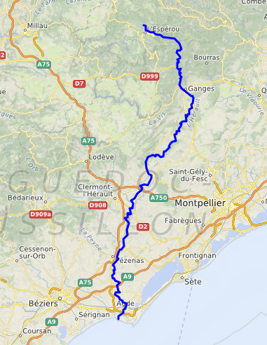
The Arre is a small river in southeastern France. It lies within the Gard department of the Occitanie region. Geographical coordinates recorded for a representative point on the Arre are 43.99500°N 3.67583°E. It is classified as a river and functions as a right tributary of the Hérault river.
Image gallery
8 Images



Characteristics
The Arre is a relatively short watercourse that drains a small local watershed within Gard. Like many streams in this part of southern France, it has a seasonal flow, with higher water levels after winter rains and during spring melt. Its channel and banks support typical Mediterranean and sub-Mediterranean vegetation and provide habitat for freshwater invertebrates and small fish.
Course and environment
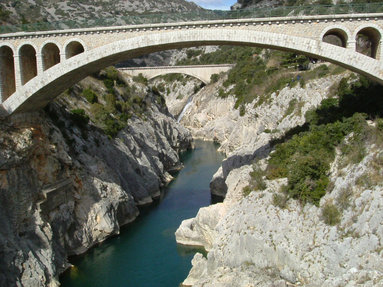
The river rises in the upland and hill areas of the department and descends through a landscape of mixed farmland, scrub and small woodlands before joining the Hérault. Its valley contains rural villages and agricultural land; the riparian zone helps maintain soil moisture and local biodiversity. The Arre's waters contribute to the Hérault's flow and to the wider coastal river system of the region.
History and human use
Historically, small rivers of the Gard, including the Arre, have influenced settlement patterns and local economies. They have been used for watering livestock and crops, and in some places for small-scale irrigation. While large industrial uses are uncommon on such minor tributaries, they have occasionally powered small mills or supported artisanal activities in past centuries. Today the Arre is valued for its landscape, local recreation and as part of regional water management.
Ecology and importance
- Supports freshwater habitats and riparian vegetation important for birds and insects.
- Helps sustain agricultural fields and gardens in adjacent villages through localized water availability.
- Contributes to the ecological connectivity of the Hérault river basin.
Because it is a minor tributary, the Arre does not feature prominently on national maps but remains significant at the local level for landscape character and biodiversity. For visitors and residents it exemplifies the small, often overlooked waterways that shape rural Occitanie.
Questions and answers
Q: What are the coordinates of the Arre river?
A: The coordinates of the Arre river are 43°59′42″N 3°40′33″E / 43.99500°N 3.67583°E / 43.99500; 3.67583.
Q: Where is the Arre river located?
A: The Arre river is located in southeastern France, in the Gard department in the Occitanie region.
Q: What type of river is the Arre river?
A: The Arre river is a right tributary of the Hérault river.
Q: Which department is the Arre river located in France?
A: The Arre river is located in the Gard department in France.
Q: Which region is the Arre river located in France?
A: The Arre river is located in the Occitanie region in France.
Q: Does the Arre river flow into another river in southeastern France?
A: Yes, the Arre river is a right tributary of the Hérault river.
Q: What is the Arre river in France?
A: The Arre river is a river in southeastern France.
Related articles
Author
AlegsaOnline.com Arre (river, Gard, France) Leandro Alegsa
URL: https://en.alegsaonline.com/art/5844
Sources
- services.sandre.eaufrance.fr : "L'Arre (Y2010500)"
- hydro.eaufrance.fr : "L'Arre au Vigan [La Terrisse]"
- geoportail.gouv.fr : "Source de l'Arre"
- geoportail.gouv.fr : "Confluence de l'Arre et l'Hérault"
- services.sandre.eaufrance.fr : "Le Coudoulous (Y2010560)"