Lille: northern French city, regional capital and cross‑border hub
Lille is a major city in northern France, capital of Hauts‑de‑France and the Nord department. It forms a large cross‑border urban area with Belgian neighbours and combines historic architecture with modern industry.
Overview
Lille is an important city in northern France. The municipality has a population of roughly 226,800 inhabitants and serves as the administrative centre of the region Hauts‑de‑France and the Nord department. Situated near the frontier with Belgium, the city is known by its Dutch name, Rijsel, in Flemish contexts.
Image gallery
10 Images


Geography and metropolitan area
Lille occupies a strategic spot in northwestern Europe. It is part of a broader conurbation that extends across the border and includes Belgian cities such as Kortrijk and Tournai. Together these urban zones form an agglomeration of about two million people, making it one of France's largest metropolitan areas, behind Paris, Lyon, Marseille and Toulouse.
History and development
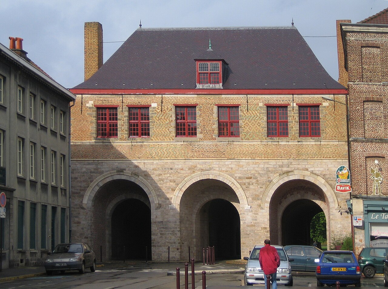
Lille's history stretches from medieval trade and weaving through industrial expansion in the 18th and 19th centuries. Its textile and manufacturing heritage shaped both the urban fabric and social life. More recently, economic restructuring has encouraged services, higher education and cultural investment, while many old industrial buildings have been repurposed for contemporary uses.
Culture, economy and institutions
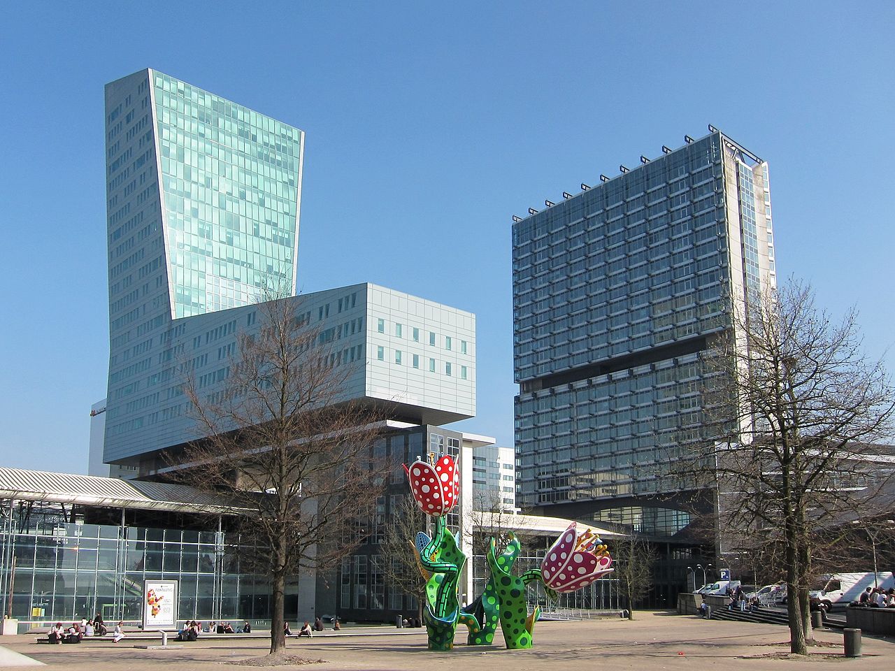
The city hosts museums, theatres and annual festivals that reflect its Franco‑Flemish past and modern identity. Lille is a regional economic centre with strengths in commerce, logistics and education; several universities and grandes écoles draw students from across France and neighbouring countries. Its city centre mixes Baroque and Flemish architecture with modern commercial districts.
Transport and cross‑border role
Lille is a transport hub: high‑speed rail, regional trains and road links connect it to Paris, Brussels and other European cities. The proximity to Belgium makes cross‑border commuting and commerce a daily reality for many residents, and the metropolitan area often functions as a transnational labour and service market.
Notable facts and distinctions
- Administrative capital of Hauts‑de‑France and the Nord department.
- Historically important in textile production and industry.
- Part of a large cross‑border conurbation with Belgian cities, creating a bilingual and multicultural environment.
- Ranked among France's top five urban areas by population size behind national metropolises.
Geography
Location
LIlle is located in the north of France, in the centre of the Nord department and on the border with Belgium, twenty kilometres from the Flanders region to the north and Wallonia to the east.
Lille lies at the junction of many major European trunk roads (see below) and several railway lines running east-west between Germany, Luxembourg, Belgium and the United Kingdom, and north-south between the Netherlands, Belgium, France and Spain.
The nearest major city is Roubaix, about 10 km to the northeast. The distance to the port city of Dunkirk on the North Sea is 80 km. The European capitals of Brussels, Paris and London are 110 km, 205 km and 242 km away respectively.
Before the end of the Western Roman Empire, Germanic tribes settled north of the Boulogne-sur-Mer - Cologne line in the middle of the fourth century, which led to the shift of the language border south of Lille. As a result, many place names were formed with the toponym hem, such as Wazemmes, Vauban Esquermes or Hellemmes (=Lille). Nevertheless, unlike Dunkirk or Bailleul, Lille and its surroundings belonged to the historical region of Romanesque Flanders, which, as a former territory of the County of Flanders, did not belong to the West Flemish language area. During the founding of the city of Lille in the eleventh century, the language border shifted to the west of the city. Consequently, contrary to popular belief, Lille was never a Flemish-speaking city, but always a Romance city.
Topography and geology
The city of Lille is located at an altitude of about 20 m in a bulge of the Deûle valley. At this point, the last Senonian and Turonian Cretaceous outcrops of the Mélantois natural area submerge beneath the hilly landscapes of the Weppes to the west and the Barœul to the north, formed in the Landenian sand and Ypresian clay. The young sedimentary cover of the Pleistocene is everywhere - either in the form of loess on slopes or as alluvial soil in the valley bottoms.
Today, most of the arms of the Deûle run underground through the city. The river, which has been navigated since the Gallo-Roman era, flows through the city in the southwest and flows further north into the Leie (French: Lys), which has also been canalized there and which in turn flows into the Scheldt.
Neighboring communities
Lille forms the centre of the Métropole Européenne de Lille, which also includes all neighbouring municipalities. Except for the largely rural municipalities of Ennetières-en-Weppes, Capinghem, Prémesques, Pérenchies and Lompret in the west, all other surrounding municipalities lie within the contiguous settlement area of the city. The largest of these are Villeneuve-d'Ascq in the east with 63,000 inhabitants and Marcq-en-Barœul in the northeast with 39,000 inhabitants. Other larger municipalities with over 10,000 inhabitants are concentrated in the north (Lambersart, La Madeleine, Saint-André-lez-Lille, Mons-en-Barœul) and in the south (Loos-lez-Lille, Wattignies, Faches-Thumesnil, Ronchin).
Climate
| Lille | ||||||||||||||||||||||||||||||||||||||||||||||||
| Climate diagram | ||||||||||||||||||||||||||||||||||||||||||||||||
| ||||||||||||||||||||||||||||||||||||||||||||||||
| Monthly average temperatures and precipitation for Lille
Source: Météo-France; humidity, sunshine hours: wetterkontor.de | ||||||||||||||||||||||||||||||||||||||||||||||||||||||||||||||||||||||||||||||||||||||||||||||||||||||||||||||||||||||||||||||||||||||||||||||||||||||||||||||||||||||||||||||||||||||||||||||||||||||||||||||||||||||||||||||||||||||||||||||||||||||||||||


Population
The city of Lille, including the communes of Lomme and Hellemmes, which have been incorporated into the city in recent years, has a population of 233,098 (as of 1 January 2018). More than 1.1 million (1999) inhabitants live in the metropolitan area around Lille, which includes its neighbouring towns of Roubaix and Tourcoing and the satellite town of Villeneuve-d'Ascq, founded in 1970. This metropolitan area, the Métropole Européenne de Lille, is the fourth largest metropolitan area in terms of population after Paris, Lyon and Marseille, and is second in France in terms of population density.
Lille is the city with the highest proportion of students, between 90,000 and 110,000 at the Université Lille Nord de France, depending on how you count.
| Year | 1962 | 1968 | 1975 | 1982 | 1990 | 1999 | 2007 | 2017 |
| Inhabitants | 193.096 | 190.546 | 172.280 | 168.424 | 172.142 | 212.566 | 225.789 | 232.787 |
Questions and answers
Q: Where is Lille located?
A: Lille is located in the north of France.
Q: What is the population of Lille?
A: The population of Lille is about 226,800 inhabitants.
Q: What is the capital of the region in which Lille is located?
A: Lille is the capital of the region Hauts-de-France.
Q: How is Lille known in Dutch?
A: In Dutch, Lille is called Rijsel.
Q: What is the urban area shared with Lille?
A: The urban area shared with Lille is Kortrijk and Tournai.
Q: How many people live in the urban area shared with Kortrijk and Tournai?
A: Approximately two million people live in the urban area shared with Kortrijk and Tournai.
Q: What is the rank of the urban area shared with Kortrijk and Tournai in France?
A: The urban area shared with Kortrijk and Tournai is the fifth largest in France, behind Paris, Lyon, Marseille, and Toulouse.
Related articles
Author
AlegsaOnline.com Lille: northern French city, regional capital and cross‑border hub Leandro Alegsa
URL: https://en.alegsaonline.com/art/58033
Sources
- mairie-lille.fr : mairie-lille.fr