La Niña: the cool phase of the El Niño–Southern Oscillation
La Niña is the cold phase of the El Niño–Southern Oscillation (ENSO), marked by cooler-than-average central and eastern Pacific sea surface temperatures and distinct global weather impacts.
Overview
La Niña is one phase of the El Niño–Southern Oscillation (ENSO), the large-scale interaction between the tropical Pacific Ocean and the atmosphere. The Spanish phrase La Niña translates literally as "the little girl" and is used to denote unusually cool sea surface temperatures in parts of the central and eastern tropical Pacific. This oceanic cooling alters atmospheric circulation and produces a characteristic but variable pattern of global climate responses.
Image gallery
10 Images


Physical characteristics and mechanisms
The defining feature of La Niña is a strengthening of the trade winds across the tropical Pacific. Stronger easterly winds push warm surface water westward, deepen the warm pool in the western Pacific and enhance upwelling of colder, nutrient-rich water along the South American coast. The resulting sea surface temperature anomalies and changes in atmospheric pressure and winds strengthen the Walker circulation—the east–west tropical overturning—leading to shifts in convection and rainfall over the tropics.
Observed impacts and regional effects
La Niña produces recognizable ‘‘teleconnections’’—remote climate responses—affecting precipitation, temperature patterns and storm tracks worldwide. Typical effects include increased rainfall in parts of Southeast Asia, Australia and the western Pacific, and drier than average conditions in portions of the central and southern United States, though regional outcomes can vary. In the northern United States and Canada, winters may be cooler and stormier. The Atlantic basin often experiences more active hurricane seasons during La Niña years, partly because reduced upper-level wind shear favors tropical cyclone development.
Importance for ecosystems, agriculture and society
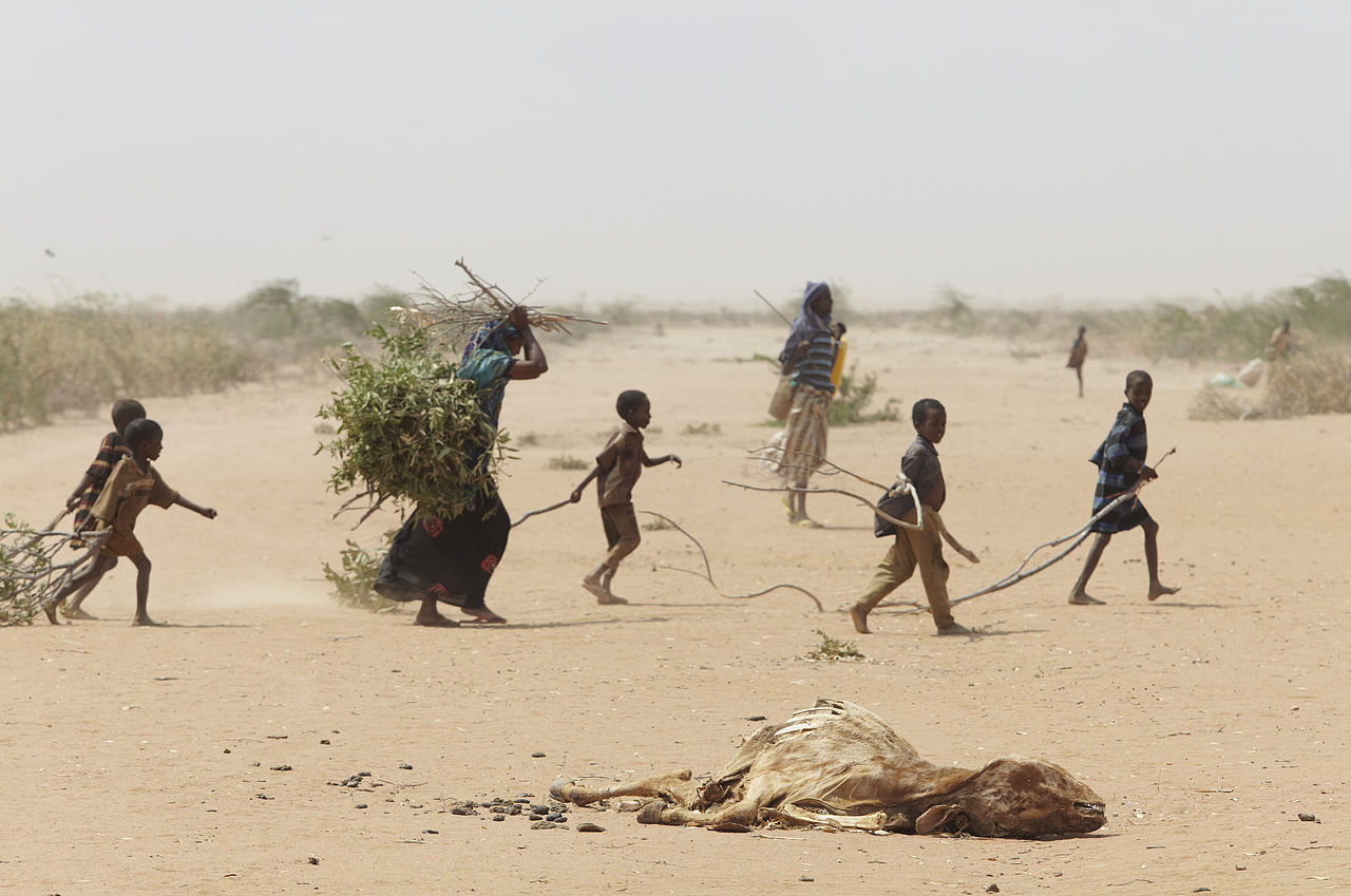
Because La Niña alters rainfall and temperature patterns across large regions, it has important consequences for agriculture, water resources, fisheries and wildfire risk. Enhanced coastal upwelling can boost marine productivity and fisheries off South America, while prolonged dry spells or heavy rains in other regions may damage crops, strain water supplies and increase flood or landslide hazards. Forecasts of ENSO phase are therefore valuable for seasonal preparedness and resource planning.
Measurement, variability and history
Scientists monitor La Niña using sea surface temperature indices in specific Pacific regions, atmospheric pressure contrasts, and wind and rainfall anomalies. Events are often categorized by strength and may persist for several seasons or occur in back-to-back years. The ENSO concept developed through 20th-century research that linked ocean measurements and atmospheric observations; the terms El Niño and La Niña reflect earlier local names used by coastal communities.
Distinctions and notable considerations
- La Niña is not the exact opposite of every El Niño; the magnitude, duration and regional impacts differ from event to event.
- Not all global responses are deterministic—local geography, other climate modes and random weather variability modify outcomes.
- Climate change may influence ENSO behavior and teleconnections, but the details and long-term trends remain active areas of research.
Understanding La Niña and its variability helps governments, farmers, emergency managers and researchers anticipate risks and opportunities tied to seasonal climate fluctuations.

See also
- El Niño-Southern Oscillation
- Southern Oscillation Index
Related articles
Author
AlegsaOnline.com La Niña: the cool phase of the El Niño–Southern Oscillation Leandro Alegsa
URL: https://en.alegsaonline.com/art/55044