Kilik Pass: high mountain gateway between the Tarim Basin and Upper Hunza
Kilik Pass is a 4,827–4,827 m high mountain pass in Pakistan that historically linked the Tarim Basin with the Upper Hunza (Gojal) valley and served as an important caravan route on northern approaches to the Indian subcontinent.
Overview
Kilik Pass (elevation commonly given as about 4,827–4,827 metres / 15,837 feet) is a high mountain pass on the northern approaches to what is now northern Pakistan. Positioned roughly 30 km west of the better-known Mintaka Pass, Kilik furnished one of the principal ancient routes into the Upper Hunza (Gojal) valley from the north and east. For centuries it formed part of the chain of passes that connected the Tarim Basin and Tashkurgan region with the mountainous approaches to Gilgit and beyond.
Image gallery
3 Images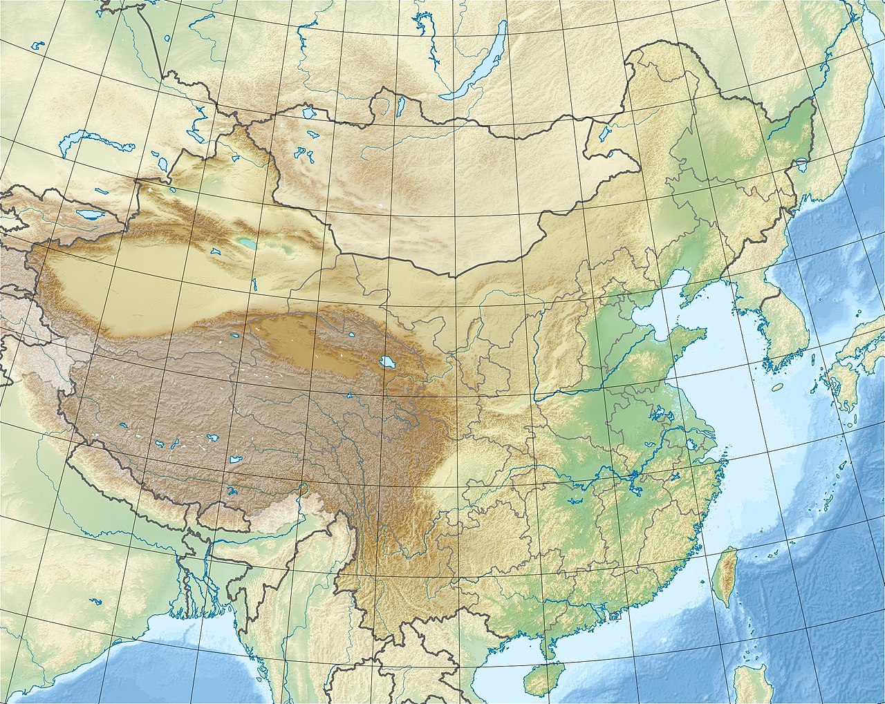


Geography and physical characteristics
The pass sits on rugged, high-altitude terrain typical of the Karakoram foothills. Compared with the nearby Mintaka Pass, Kilik is often described as broader and less affected by permanent glaciation, offering relatively more pasture for caravan animals. Its slopes and approaches could be steep and exposed, and even when free of ice the pass remained challenging due to altitude, weather, and the limited infrastructure of the region.
Historical importance and trade routes
In pre-modern times Kilik and Mintaka were the most direct routes from the Tarim Basin and Tashkurgan into the Upper Hunza valley. From Tashkurgan travellers typically went south to the Minteke river junction, then westward toward Mintaka and Kilik before descending into Gojal. From Upper Hunza goods and people proceeded to Gilgit and on to the greater network of South Asian routes. These passes therefore formed part of a broader trans-Himalayan corridor linking Central Asia with Kashmir, the Gandhara plains and beyond.
Caravan traffic, portage and logistics
Because the approaches were steep and some sections were impractical for heavy pack animals, caravans used a combination of beasts of burden and human porters. Laden animals could be led over the Mintaka and Kilik approaches to Upper Hunza, but from there valuable or bulky loads often required porters for the more arduous descent to Gilgit — a costly and hazardous operation. From Gilgit cargoes could be reloaded for long overland journeys eastward to Kashmir and Taxila or westward toward Chitral and routes to Jalalabad or Peshawar.
Mintaka versus Kilik: distinctions
- Mintaka Pass: historically the main approach until the advance of glacier ice made sections impassable in recent centuries; usually the shorter route but more glacier-prone. Mintaka Pass
- Kilik Pass: favoured when Mintaka became glaciated because it is wider, generally free of permanent ice and provides better grazing for animals.
Modern context and legacy
Today the strategic and commercial emphasis of trans-Himalayan travel has shifted to engineered roads such as the Karakoram Highway, which follows a lower southern alignment and crosses the border farther west at the Khunjerab Pass. Nevertheless, Kilik and Mintaka remain important for understanding historical patterns of trade and movement across Central and South Asia and are often referenced in studies of Silk Road-era corridors. The pass is within the sovereign territory of Pakistan and is part of the cultural landscape of Upper Hunza and surrounding communities; historical routes nearby connect to places such as Pakistan, Gilgit, Taxila, Jalalabad and Peshawar.
Notable facts and cautions
Because weather and glacial conditions have shifted over the last few centuries, the relative accessibility of these high passes altered over time. Accounts of caravan use emphasize that even when a pass was technically open year-round, it remained suitable primarily for light loads and experienced travelers; much heavy freight required transshipment and portage. Contemporary travelers and researchers are advised to treat historic elevations and route descriptions with caution and to consult up-to-date maps and local sources when planning travel in this high mountain region.
Questions and answers
Q: What is Kilik Pass?
A: Kilik Pass is a high mountain pass in Pakistan located 30 km to the west of Mintaka Pass.
Q: What was the purpose of these two passes in ancient times?
A: The two passes were used as the main access points into the Upper Hunza Valley from the north, providing a quick and usually open all year route into northern Kashmir from the Tarim Basin.
Q: How did travelers get to Gilgit from Tashkurgan?
A: Travelers would travel just over 70 km south to the junction of the Minteke River and then 80 km west up this valley to reach either Mintaka or Kilik Pass which led into upper Hunza. From there, travelers could take rafiqs (hanging passages) to Gilgit.
Q: How did people transport cargo between China/Afghanistan and Gilgit?
A: Laden animals could be taken over Mintaka or Kilik passes into upper Hunza but then loads had to be carried by coolie (porters) to Gilgit. From there, cargoes could be reloaded onto pack animals again and taken either east to Kashmir or west to Chitral for easier access Jalalabad or Peshawar via Swat.
Q: Why did caravans prefer Kilik Pass over Mintaka Pass?
A: Caravans preferred Kilik Pass because it was wider, free of glaciers, and provided enough pasture for caravan animals compared with Mintaka Pass which became glaciated fairly recently.
Q: Where is Khunjerab Pass located?
A: Khunjerab Pass is located at 36° 51' N; 75° 32' E with an elevation of 4,934 m or 16,188 ft.
Related articles
Author
AlegsaOnline.com Kilik Pass: high mountain gateway between the Tarim Basin and Upper Hunza Leandro Alegsa
URL: https://en.alegsaonline.com/art/53376