Khyber Pakhtunkhwa: province in northwest Pakistan
Khyber Pakhtunkhwa (formerly North-West Frontier Province) is a northwestern Pakistani province centered on Peshawar, known for its Pashtun culture, mountain landscapes and strategic passes to Afghanistan.
Overview
Khyber Pakhtunkhwa is a province in the northwestern part of Pakistan with a long history and a prominent role in the region's culture and geopolitics. The provincial capital and largest city is Peshawar, a historical trade and administrative centre. The province covers an extensive area (about 28,773 mi²) or roughly 74,521 km² and is home to millions of people, many of whom speak Pashto. These figures have changed over time with censuses and administrative reforms.
Image gallery
10 Images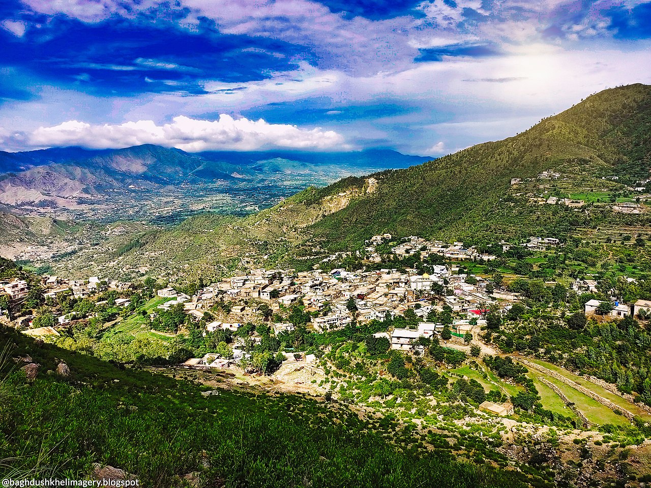


Geography and environment
Khyber Pakhtunkhwa lies along the border with Afghanistan and includes a varied landscape of valleys, foothills and higher mountain ranges such as the Hindu Kush and the Sulaiman foothills. The region's terrain contains important historic corridors, most famously the Khyber Pass, which has linked South and Central Asia for centuries. Climate ranges from temperate in the higher elevations to hot in the lowland plains.
People, language and society
The province has a majority Pashtun population, with Pashto widely spoken alongside other regional languages such as Hindko and Urdu. The society is shaped by tribal and clan ties, rural livelihoods, and urban centres that host education, trade and services. Islam is the dominant religion and public life is often organized around local councils and provincial institutions.
History and development
The area came under British colonial administration in the 19th and early 20th centuries; the modern administrative entity was created during British rule in 1901 as the North-West Frontier Province (British period). At the end of British rule on the subcontinent, a referendum in the territory led to accession to Pakistan in 1947, an event recorded in contemporary reports (British India era documents and the 1947 referendum accounts). In later decades the province's name and status evolved; it became widely known as Khyber Pakhtunkhwa following constitutional changes to reflect local identity.
Administration and districts
Administratively, the province is divided into multiple districts and local governments responsible for services, development and law and order. Historically there were distinctions between Settled Areas and various tribal or provincially administered territories. In older classifications the province included 21 Settled Area Districts and several Provincially Administered Tribal Areas; the latter were managed under different arrangements and referenced as PATA in official material. Recent reforms have changed some boundaries and governance structures to integrate tribal regions more closely into the provincial system.
Economy, culture and importance
The economy is mixed: agriculture and livestock are important in rural districts, while urban centres support trade, light industry, education and services. Peshawar remains a cultural and commercial hub, with markets, universities and historic sites. The province's location on historic trade routes and its border with Afghanistan give it strategic importance for cross-border commerce and regional connectivity.
Notable facts and distinctions
- The Khyber Pass has been a major invasion and trade route for millennia, linking the Indian subcontinent and Central Asia.
- Pashto culture—poetry, music and customary law—plays a central role in provincial identity.
- Administrative reforms over the 20th and 21st centuries have repeatedly reshaped district boundaries and governance models to address security, development and representation.
For readers seeking official statistics or administrative maps, provincial government publications and national census reports provide up-to-date data and detailed maps (see provincial resources and statistical bureaus referenced by government portals and research institutions).
Khyber Pakhtunkhwa, Peshawar, and the other linked names above are terms commonly used in historical and contemporary sources for those researching the region's geography, people and governance.
Geography
Khyber Pakhtunkhwa borders (clockwise, starting in the northeast) Gilgit-Baltistan (the former Northern Areas), the semi-autonomous Asad Jammu and Kashmir, Punjab province - with which it encloses the capital territory of Islamabad - Balochistan province, and Afghanistan. With an area of 74,521 km², Khyber Pakhtunkhwa is the smallest province of Pakistan in terms of area. While the plain around the provincial capital Peshawar extends to about 340 m above sea level, the highest peak of the province, the Tirich Mir, is 7708 m high. The western areas on the border with Afghanistan are very dry with sparse vegetation; the central and eastern mountainous areas, on the other hand, already belong to the subtropical continental highlands, with snowy winters, cool summers, and winter and summer rains. In the lowlands around Peshawar, however, the temperature in June/July reaches up to 45 °C.
Khyber Pakhtunkhwa is the most densely forested province in Pakistan. According to the Forest Sector Master Plan of 1993, 17 % of the area is forested (Pakistan: 4.8 %), while 15 % is used for agriculture (Pakistan: 23 %). However, these official figures are doubted by experts, as deforestation is still proceeding rapidly. Several reports have concluded that without drastic measures, the forest in the accessible areas of Khyber Pakhtunkhwa will have disappeared by 2025. Most common species among conifers are Himalayan cedar, teardrop pine, Pinus roxburghii, Pindrow fir, Pinus excelsa and Pinea smithiana. The most common deciduous tree is the walnut.
In the north of the province lies the Chitral Gol National Park, where rare mountain animals such as the screw goat are protected.

Administration
Khyber Pakhtunkhwa has existed in its present form since 1901, when it was given the name North West Frontier by the British occupation forces; this was particularly unpopular with the majority Pashtun population.
Administratively, the province is divided into 7 divisions and 34 districts:
Districts
- Abbottabad
- Bajaur
- Bannu
- Batagram
- Buner
- Charsadda
- Chitral
- Dera Ismail Khan
- Hangu
- Haripur
- Karak
- Khyber
- Kohat
- Kolai Palas
- Kurram
- Lakki Marwat
- Lower you
- Lower Kohistan
- Malakand
- Mansehra
- Mardan
- Mohmand
- North Waziristan
- Nowshera
- Orakzai
- Peshawar
- Shangla
- South Waziristan
- Swabi
- Swat
- Tank
- Torghar
- Upper Dir
- Upper Kohistan

Related articles
Author
AlegsaOnline.com Khyber Pakhtunkhwa: province in northwest Pakistan Leandro Alegsa
URL: https://en.alegsaonline.com/art/53282
Sources
- commons.wikimedia.org : Khyber Pakhtunkhwa
- ljcp.gov.pk : "The Constitution"
- reuters.com : "Islamists want Pakistan province renamed 'Afghania'."
- onepakistan.com : "No end in sight to ANP-PML-N row over NWFP renaming."
- britannica.com : "Khyber Pakhtunkhwa (province, Pakistan) :: Geography - Britannica Online Encyclopedia"
- stratfor.com : stratfor.com/files/mmf/5/6/566d754dc7fd57ce4263e14dc24eccc80b369acd.jpg
- nwfpbos.sdnpk.org : "District wise area and population of Khyber Pakhtunkhwa"