Kafr El Sheikh Governorate
Governorate in northern Egypt's Nile Delta, centered on the city of Kafr El Sheikh; noted for agriculture, wetlands, Lake Burullus, and its creation from Gharbia in 1949.
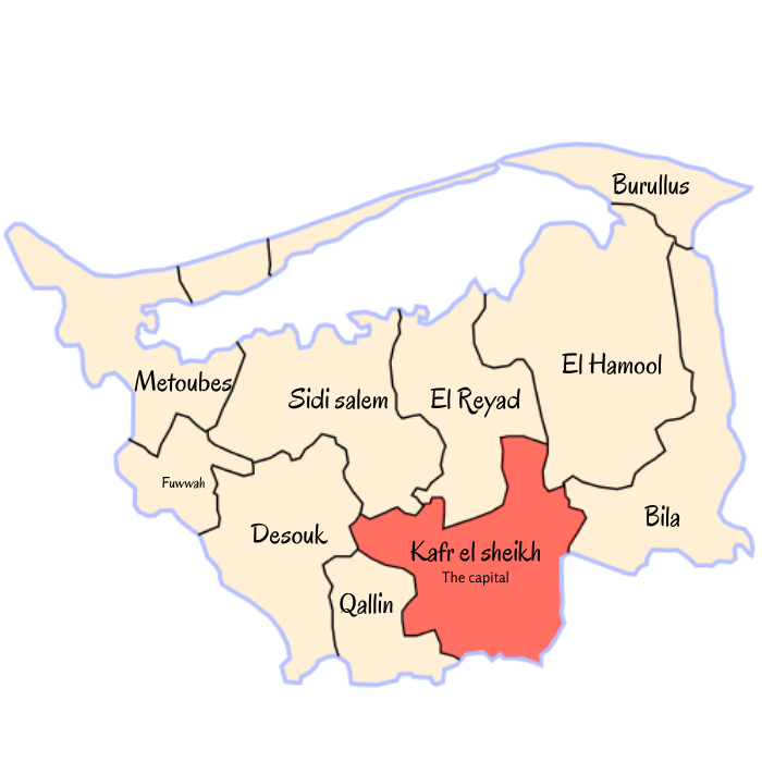
Kafr El Sheikh Governorate is an administrative region in northern Egypt, situated in the fertile Nile Delta. Its administrative center and largest city share the same name: Kafr El Sheikh. The governorate occupies a low-lying alluvial plain shaped by irrigation canals, agriculture, and coastal wetlands.
Image gallery
4 Images


Geography and environment
The landscape is dominated by flat, cultivated land and a coastline that includes important marshes and lagoons. Lake Burullus, one of Egypt’s significant northern lagoons, lies within the governorate and supports diverse birdlife, fisheries and local saltworks. Irrigation from Nile distributaries and a network of drains underpins intensive farming across the region.
Economy and land use
Agriculture is the backbone of the local economy: rice, cotton, cereals and other irrigated crops are widely grown. Fishing and aquaculture near the lagoon and in coastal waters contribute to livelihoods. Small manufacturing, food processing and rural trades support towns and villages. Seasonal markets and traditional crafts remain part of rural life.
History and administration
The area has been settled since antiquity as part of the broader Delta agricultural heartland. Administratively, Kafr El Sheikh was created in 1949 when it was separated from Gharbia Governorate, and today it is organized into a number of districts (markazes) and municipal centers governed by appointed and elected local officials.
Features and points of interest
- Lake Burullus and associated wetlands: notable for birdwatching and fisheries.
- Rural Delta landscapes: extensive irrigated fields and agricultural infrastructure.
- Local towns and markets: centers for processing and trade of agricultural produce.
As a part of the Nile Delta, Kafr El Sheikh Governorate plays a continuing role in Egypt’s food production and coastal ecology, balancing agricultural demands with habitat conservation and local development.
Related articles
Author
AlegsaOnline.com Kafr El Sheikh Governorate Leandro Alegsa
URL: https://en.alegsaonline.com/art/51874