
Aquifer: underground water-bearing formations and their importance
An aquifer is a subsurface layer of rock or sediment that holds and transmits groundwater. This article explains types, properties, uses, recharge, threats, and the scientific study of aquifers.
An aquifer is a geological formation beneath the Earth's surface that stores and allows movement of water. In everyday terms it is a water-bearing layer made of materials such as sand, gravel, clay or silt, or of rock that contains interconnected fractures or pores (water-bearing rock). These formations hold groundwater that can be accessed for human use, ecological needs, and baseflow to rivers.
Image gallery
4 Images

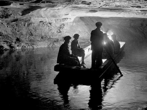

Key characteristics
Two physical properties determine how an aquifer behaves: porosity (the proportion of void space that can store water) and permeability (the ease with which water flows through the material). Other technical measures used by hydrogeologists include transmissivity and storativity, which describe the volume of water an aquifer can deliver under pumping. Layers that restrict flow are called aquitards or aquicludes, and they influence how quickly an aquifer responds to recharge or contamination.
Types of aquifers
- Unconfined aquifer: has a water table open to the atmosphere and is recharged directly from the surface.
- Confined aquifer: bounded above and below by less permeable layers; pressure can produce artesian conditions.
- Perched aquifer: a localized saturated zone above the regional water table, separated by an impermeable layer.
Water is commonly extracted from aquifers using a well or a spring. Recharge occurs where precipitation or surface flow percolates downward; discharge takes place at springs, wetlands, or through pumping. Sustainable use requires balancing withdrawal with natural recharge rates.
Aquifers are essential for drinking water, irrigation, and industry. Their role is particularly important in arid regions and during dry seasons when surface supplies are limited. At the same time, aquifers are vulnerable to contamination by agricultural chemicals, industrial pollutants, and saltwater intrusion near coasts. Over-extraction can lower water tables and cause land subsidence.
The scientific study of aquifers — hydrogeology — developed as engineers and scientists sought to quantify groundwater flow. A foundational concept is Darcy's law, which describes flow through porous media. Effective management combines field measurements, modeling, monitoring, and protection of recharge areas to preserve water quality and long-term availability.
For further basic definitions and summaries see general references: overview source, repositories on sediment types, coarse materials, fine sediments, and technical discussions about aquifer properties at silt and clay, rock aquifers, groundwater dynamics (groundwater) and practical extraction methods (wells).
Questions and answers
Q: What is an aquifer?
A: An aquifer is an underground layer that contains water.
Q: What kind of materials can an aquifer be made of?
A: An aquifer can be made of less solid materials like sand, gravel, clay, or silt, or it can be made of rock as long as it permits water to flow through it.
Q: How can groundwater be extracted from an aquifer?
A: Groundwater can be extracted from an aquifer by using a well.
Q: What is the study of water flow in aquifers called?
A: The study of water flow in aquifers is called hydrogeology.
Q: Define hydrogeology.
A: Hydrogeology is the study of the movement, occurrence, and distribution of groundwater in underground aquifers.
Q: What does it mean for a rock to be water-bearing?
A: A rock is considered water-bearing if it allows water to permeate through it.
Q: How is an aquifer characterized?
A: An aquifer is characterized through the process of hydrogeology, which involves studying the movement, occurrence, and distribution of groundwater.
Related articles
Author
AlegsaOnline.com Aquifer: underground water-bearing formations and their importance Leandro Alegsa
URL: https://en.alegsaonline.com/art/5100
Sources
- nrw.qld.gov.au : "The Great Artesian Basin"