Isla de la Juventud — Cuba’s second-largest island and special municipality
Isla de la Juventud is Cuba’s second-largest island, a distinct municipality known for its unique geography, history as a penal colony, and role within the Canarreos Archipelago.

Isla de la Juventud is the largest Cuban island after the main island of Cuba and one of the principal landforms of the West Indies. Lying about 100 km southwest of the Cuban mainland across the Gulf of Batabanó and roughly south of Havana, the island covers approximately 3,056 km² and is considered the sixth-largest island in the region. Administratively it is a Special Municipality, meaning it is governed directly by the national government rather than being part of any Cuban province.
Image gallery
3 Images

Geography and population
The island is the largest member of the Canarreos Archipelago, a chain of some 350 isles and keys. Its terrain consists of low hills, coastal plains and mangrove-fringed lagoons; the interior supports dry forest and areas of agricultural use. The capital and largest city is Nueva Gerona on the northern shore; Santa Fe is the island’s second-largest and oldest town, located inland. Other settlements include Columbia, Punta del Este and several smaller villages. The permanent population is commonly estimated at around 100,000 residents, though seasonal changes occur with fishing and tourism activities.
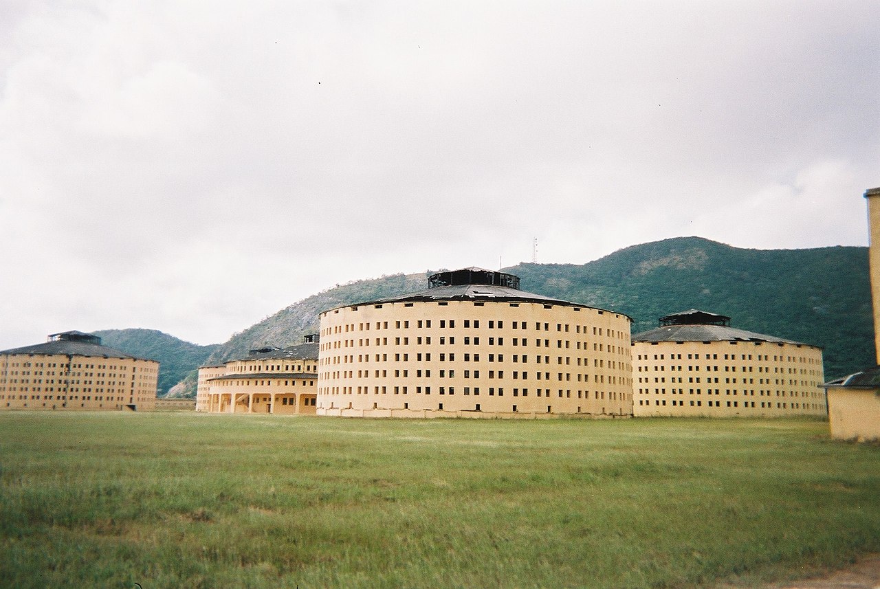
History and name
The island has a layered history that includes pre-Columbian indigenous presence, European contact and varied colonial uses. For much of the modern era it was known in Spanish as Isla de Pinos (Isle of Pines), a name that reflected its vegetation and that appeared on maps for centuries. In 1978 the official name was changed to Isla de la Juventud (Isle of Youth), a designation intended to reflect the island’s growing focus on education and youth programs. Over time it has also been associated with maritime activity, including periods when remote islands were used as refuges, outposts and penal sites.
Economy, infrastructure and services
The island’s economy is a mixture of agriculture, fishing, limited industry and tourism. Local agriculture produces citrus, root crops and other staples suited to the climate and soils, while coastal waters support fishing communities. Tourism is smaller-scale than on Cuba’s main island but growing around natural attractions, beaches and historical sites. As a special municipality, the island receives direct national support for infrastructure such as ports, an airport near Nueva Gerona, health services and schools.
Culture, institutions and notable facts
Culturally, Isla de la Juventud reflects typical Cuban influences blended with a distinct island identity. It has educational institutions, cultural centers and community festivals that serve both residents and visiting students or workers. The island also retains historical sites connected to its past uses; these are part of local heritage and of interest to visitors. Its status as a separate municipal entity and its former name, Isla de Pinos, are frequently noted in discussions of Cuban geography and administration.
Quick facts
- Area: about 3,056 km².
- Location: Gulf of Batabanó, southwest of mainland Cuba.
- Archipelago: largest island of the Canarreos group.
- Administrative status: Special Municipality of Cuba.
- Former name: Isla de Pinos (until 1978).
For further reading about the island’s geography, history and contemporary life, consult maps and regional overviews or follow local resources and official Cuban publications for the most current information.
Questions and answers
Q: What is the name of the largest Cuban island after Cuba itself?
A: The Isle of Youth (Spanish: Isla de la Juventud).
Q: How large is the Isle of Youth?
A: It has an area of 3,056 km2 (1,180 sq mi).
Q: Where is the Isle of Youth located?
A: It is 100 km (62 mi) southwest of mainland Cuba and across the Gulf of Batabanó. It is almost directly south of Havana and Pinar del Río.
Q: What type of municipality is it considered to be?
A: Because of its superficial extension, population and for its economic characteristics, it is considered to be a Special Municipality.
Q: How many islands are in the Canarreos Archipelago?
A: There are 350 islands in the Canarreos Archipelago.
Q: What was the island called before 1978?
A: The island was called the Isle of Pines (Isla de Pinos) before 1978.
Q: What is the estimated population on the Isle of Youth?
A:The island has an estimated population of 100,000.
Related articles
Author
AlegsaOnline.com Isla de la Juventud — Cuba’s second-largest island and special municipality Leandro Alegsa
URL: https://en.alegsaonline.com/art/48380