
Iraqi Kurdistan (Kurdistan Region of Iraq)
Autonomous Kurdish-majority region in northern Iraq with its own government, economy centered on oil and agriculture, distinct culture and languages, and a history of autonomy within the Iraqi state.
Overview
Iraqi Kurdistan, often called the Kurdistan Region, is the Kurdish-majority autonomous area in the north of Iraq. It occupies a mountainous and plateau landscape and is home to Kurds alongside Arabs, Turkmen, Assyrians and other minorities. The region has its own regional government, security forces and institutions while remaining part of the Iraqi federal state.
Image gallery
10 Images


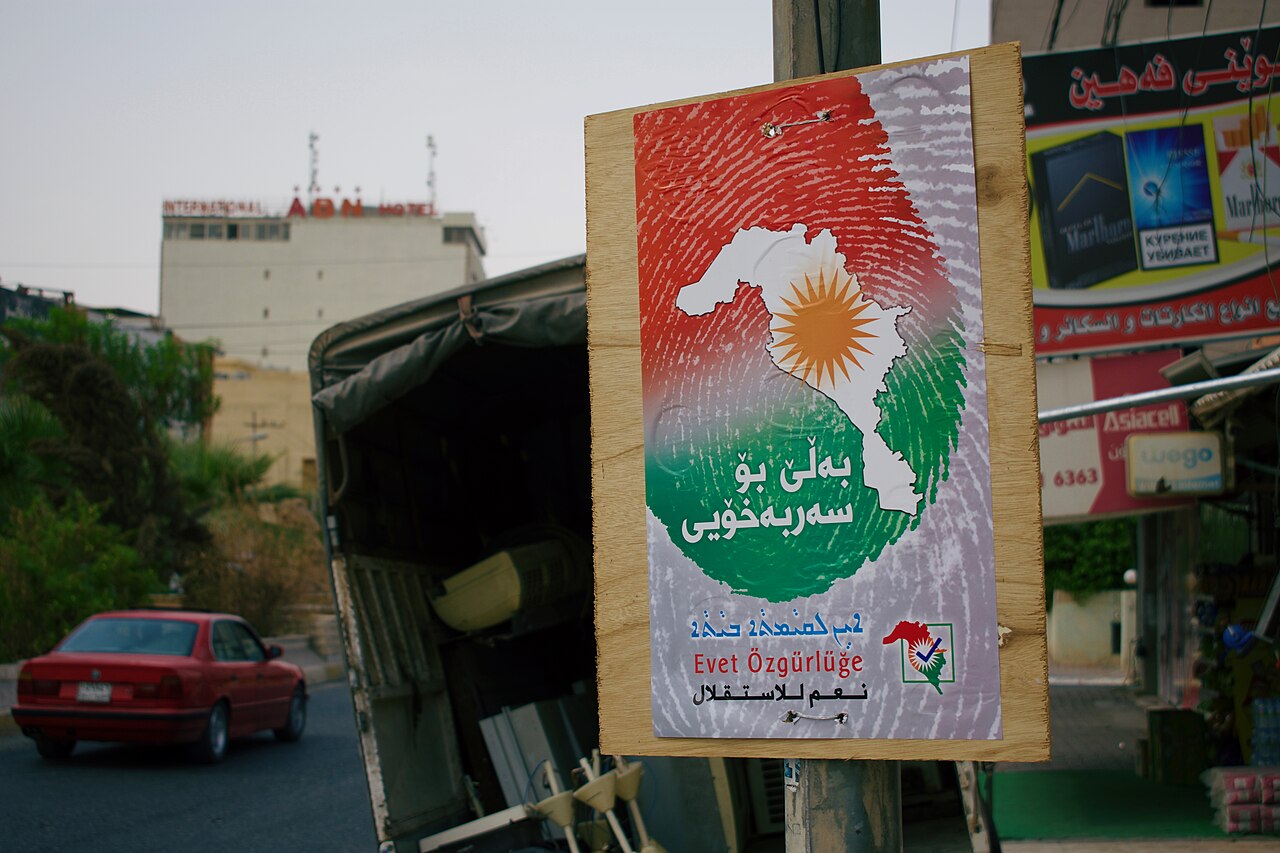


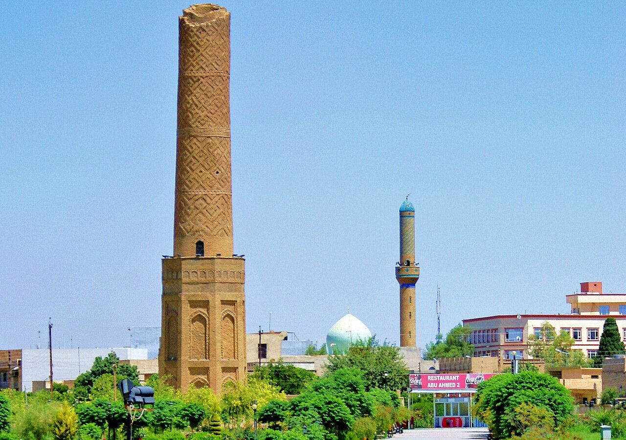
Geography and borders
The Kurdistan Region lies in northern Iraq and forms part of the larger cultural and historical area known as Kurdistan. It borders Turkish and Syrian Kurdish-inhabited areas to the north and west and is adjacent to Iranian Kurdistan to the east (see regional map). The landscape ranges from high mountains to fertile river valleys and plains.
History and development
Kurdish presence in this territory has ancient roots, but modern political developments accelerated in the 20th century. After uprisings and shifting control during the late 20th century, the area acquired a measure of autonomy in the 1990s and later consolidated its status within Iraq's post-2003 federal framework. Local institutions were built to manage education, health and public services.
Government, security and administration
The Kurdistan Regional Government (KRG) administers the region through an elected parliament and executive. The Peshmerga are the region's principal security forces. The KRG shares responsibilities and occasional disputes with the federal government, notably over territory, oil revenues and shared resources.
Economy, society and culture
The economy combines oil production, agriculture, trade and expanding services. Cities such as Erbil, Sulaymaniyah and Duhok serve as administrative and commercial centers. Kurdish languages (primarily Sorani and Kurmanji), local dialects and religions contribute to a rich cultural life that includes festivals like Newroz and strong traditions of music, literature and crafts.
Notable facts and distinctions
- Major urban centers: Erbil (the regional capital), Sulaymaniyah, Duhok and Halabja.
- The region operates its own regional government and armed forces while remaining part of the Iraqi state.
- Demographic diversity includes ethnic and religious minorities with recognized cultural rights.
For further reading and maps, consult regional resources and official KRG publications or general background on Kurdistan and Iraq. Additional context about northern Iraq is available through guides linked at regional overview and comparative materials on neighboring Kurdish areas at adjacent regions.
Name
The name of the region according to the Iraqi constitution is Kurdistan Region (Arabic إقليم كردستان, DMG Iqlīm Kurdistān). In Kurdish ههرێمی کوردستان Herêma Kurdistanê. In the German-speaking world, the regional administration appears as the Kurdistan-Iraq Region, thus following the linguistic usage of the Foreign Office and the Austrian Federal Ministry for Europe, Integration and Foreign Affairs. In the mass media, however, the terms Iraqi-Kurdistan and Northern Iraq are widely used.
The Kurdish regional administration or government itself, which is also used as a synonym for the region, is called in Kurdish حكومهتى ههرێمى كوردستان Hikûmeta Herêma Kurdistanê, or in English Kurdistan Regional Government (KRG).
Kurdish activists also used the term Southern Kurdistan (Kurdish باشووری کوردستان Başûrê Kurdistanê) for all Kurdish-populated areas in Iraq beyond the region's borders.
Geography
Location
The territory of the Autonomous Region of Kurdistan is located in the north of Iraq and consists of the governorates of Sulaymaniyah, Erbil, Dahuk and Halabja. It borders three states: Syria to the west, Turkey to the north, and Iran to the east. The northernmost city in the region is Zaxo, the easternmost is Halabja, and the westernmost is Dohuk.
Landscape
The landscape in Kurdistan is largely mountainous. In the northeast is the Zāgros Mountains with the Cheekha Dar (3,611 m), the highest mountain in Iraq. Rivers flow mostly from north to south and partly from east to west. The most important rivers are the Great Zab and the Little Zab. The Great Zab rises in southeastern Turkey, the Little Zab in northwestern Iran. Both rivers flow into the Tigris.
Near the city of Ranya is the Dukan Dam with the associated Dukan Lake, the largest lake in the autonomous region of Kurdistan.
Climate
Kurdistan has a semi-arid climate.
March has average temperatures between 13 °C and 18 °C.
Summers are hot and without rain. In the following months, the temperature values increase drastically and in the months of June to September, the temperatures reach their maximum with an average of 39 °C to 44 °C, with values of almost 50 °C being reached on isolated days.
Autumn has temperatures comparable to those of spring, averaging 24 °C to 29 °C. However, it is marked by heavy rainfall, which also explains the average annual value of 375-724 mm.
Winters are generally mild, with temperature lows of 2 °C to 7 °C and temperature highs of 7 °C to 13 °C. In the mountainous regions with their rivers and rich vegetation, the climate is cool and rainy.


Related articles
Author
AlegsaOnline.com Iraqi Kurdistan (Kurdistan Region of Iraq) Leandro Alegsa
URL: https://en.alegsaonline.com/art/48122
Sources
- krg.org : The Kurdish language
- news.am : "Armenian recognized official language in Iraqi Kurdistan"
- cabinet.gov.krd : "The Kurdish language"
- cabinet.gov.krd : "Religions in the Iraqi Kurdistan Region of Iraq"
- ↑
- krso.net : "KRSO"
- iraq-jccme.jp : "Investment Factsheet Kurdistan Region – Iraq"
- ophi.org.uk : "Iraq Human Development Report 2014"
- iswresearch.blogspot.com : "region northern Iraq"