
Idrijca: a river of western Slovenia and its natural park
Idrijca is a western Slovenian river and left tributary of the Soča, notable for karst features, biodiversity and the Upper Idrijca Natural Park protecting its upper course near Idrija.
Overview
The Idrijca is a river in western Slovenia whose course runs through mountainous terrain and joins the Soča. Its approximate source coordinates are given here: 49°09′06″N 13°44′25″E. The river lies entirely in Slovenia and is one of the Soča's tributaries (Soča).
Image gallery
6 Images
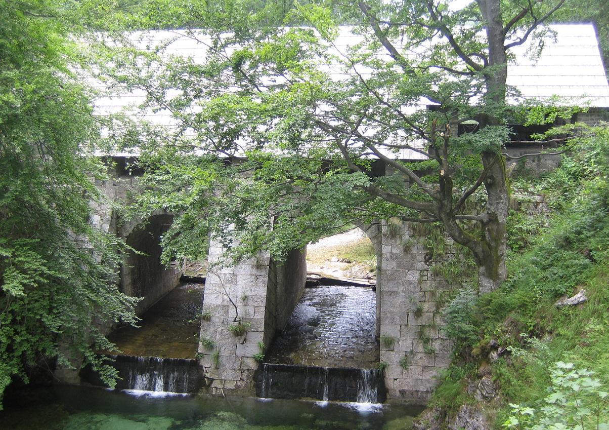


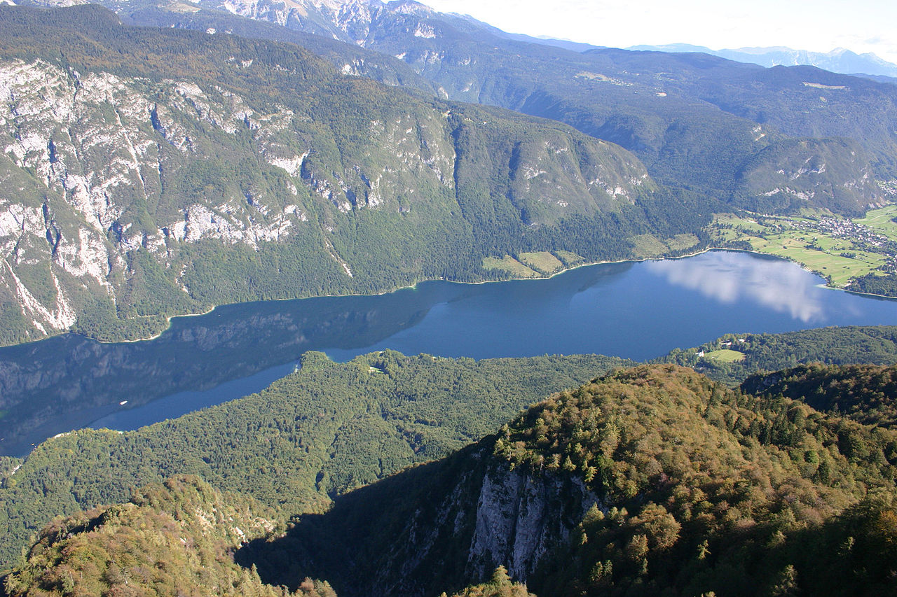
Course and physical features
The Idrijca rises in upland terrain and flows through the Idrija Hills and the Cerkno Hills before reaching lower valleys. The upper reach, from the spring downstream for roughly 30 km toward the town of Idrija, is characterised by steep channels, limestone bedrock and numerous karst phenomena; the source area is described here: source details. Typical landscape elements include rocky gorges, cascades and narrow floodplains.
Geology and karst
Much of the river basin lies on limestone and dolomite, so karst processes shape caves, sinkholes and springs along the watershed. These features contribute to irregular flow patterns and varied microhabitats; karst landscapes are discussed in general here: karst.
Ecology and biodiversity
The Idrijca supports a range of riparian and aquatic species, with noticeable diversity of plants and animals in its upper reaches. The protected section has a mosaic of forests, meadows and wetland strips that sustain insects, amphibians and fish, and is recognised for its botanical interest: flora and fauna.
Human use, history and importance
People have long used the river corridor for local transport, watermills and small-scale industry. The wider basin is historically associated with the Idrija region and its mining heritage, which influenced settlement patterns and land use along the river.
Protection and recreation
The Upper Idrijca Natural Park conserves important natural values in the river's headwaters and provides opportunities for hiking, nature study, angling and low-impact boating in suitable reaches. As a tributary of the Soča, the Idrijca contributes to a river network valued for both ecological significance and outdoor recreation.
Questions and answers
Q: What are the coordinates for the Idrijca river?
A: The coordinates for the Idrijca river are 49°09′06″N 13°44′25″E.
Q: Where is the Idrijca river located?
A: The Idrijca river is located in western Slovenia.
Q: What type of hills does the Idrijca river flow through?
A: The Idrijca river flows through the Idrija Hills and Cerkno Hills.
Q: Is the Idrijca river a tributary of the Soča river?
A: Yes, the Idrijca river is a tributary of the Soča river.
Q: What is the Upper Idrijca Natural Park?
A: The Upper Idrijca Natural Park is an area of the upper Idrijca, from its source to the town of Idrijca, and is about 30 km long. It is known for its many karst features and diverse plant species.
Q: What is the significance of the karst features in the Upper Idrijca Natural Park?
A: The karst features in the Upper Idrijca Natural Park are significant because they contribute to the diversity of plant species in the area.
Q: How long is the Upper Idrijca Natural Park?
A: The Upper Idrijca Natural Park is about 30 km long.
Related articles
Author
AlegsaOnline.com Idrijca: a river of western Slovenia and its natural park Leandro Alegsa
URL: https://en.alegsaonline.com/art/46544
Sources
- park.idrija-turizem.si : "Zgornja Idrijca Natural Park"
- stat.si : "Reke, dolge nad 25 km, in njihova padavinska obmocja"
- balkan-trout.com : "Marble trout (Salmo armoratus)"
- geopedia.si : "Kart over Idrijca"